120 Azzilee Cir Locust Fork, AL 35097
Estimated Value: $224,000 - $310,000
Studio
1
Bath
1,560
Sq Ft
$172/Sq Ft
Est. Value
About This Home
This home is located at 120 Azzilee Cir, Locust Fork, AL 35097 and is currently estimated at $267,573, approximately $171 per square foot. 120 Azzilee Cir is a home with nearby schools including Locust Fork Elementary School and Locust Fork High School.
Ownership History
Date
Name
Owned For
Owner Type
Purchase Details
Closed on
Dec 29, 2005
Sold by
Donnie Pair Builders Inc
Bought by
Cater John and Cater Terra
Current Estimated Value
Home Financials for this Owner
Home Financials are based on the most recent Mortgage that was taken out on this home.
Original Mortgage
$169,900
Outstanding Balance
$94,987
Interest Rate
6.18%
Mortgage Type
Purchase Money Mortgage
Estimated Equity
$172,586
Purchase Details
Closed on
Feb 21, 2005
Sold by
Cain John and Thomas Carl
Bought by
Donnie Pair Builders Inc
Create a Home Valuation Report for This Property
The Home Valuation Report is an in-depth analysis detailing your home's value as well as a comparison with similar homes in the area
Purchase History
| Date | Buyer | Sale Price | Title Company |
|---|---|---|---|
| Cater John | $169,900 | -- | |
| Donnie Pair Builders Inc | $10,000 | -- |
Source: Public Records
Mortgage History
| Date | Status | Borrower | Loan Amount |
|---|---|---|---|
| Open | Cater John | $169,900 |
Source: Public Records
Tax History
| Year | Tax Paid | Tax Assessment Tax Assessment Total Assessment is a certain percentage of the fair market value that is determined by local assessors to be the total taxable value of land and additions on the property. | Land | Improvement |
|---|---|---|---|---|
| 2024 | $998 | $26,920 | $2,000 | $24,920 |
| 2023 | $1,010 | $25,280 | $2,000 | $23,280 |
| 2022 | $941 | $25,100 | $1,860 | $23,240 |
| 2021 | $790 | $21,060 | $1,940 | $19,120 |
| 2020 | $755 | $18,480 | $1,860 | $16,620 |
| 2019 | $693 | $18,480 | $1,860 | $16,620 |
| 2018 | $693 | $18,480 | $1,860 | $16,620 |
| 2017 | $651 | $17,360 | $0 | $0 |
| 2015 | $651 | $17,360 | $0 | $0 |
| 2014 | -- | $17,360 | $0 | $0 |
| 2013 | -- | $17,260 | $0 | $0 |
Source: Public Records
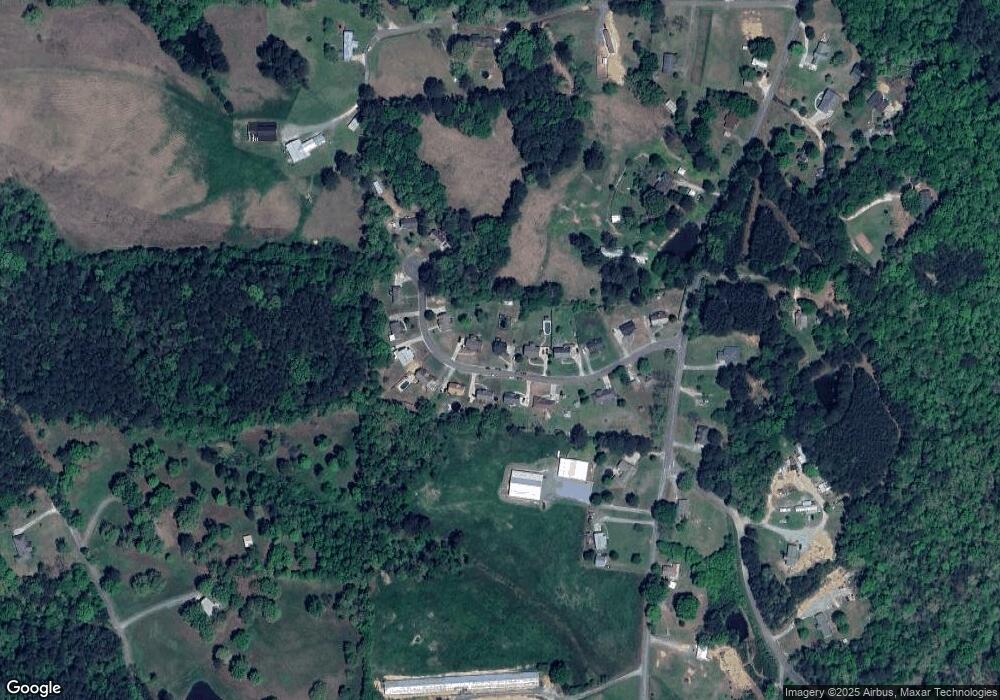
Map
Nearby Homes
- 163 Azzilee Cir
- 29542 Alabama 79
- 173 Shallow Brook Dr
- 178 Jerry Marsh Rd
- #0 Shady Point Rd
- 4490 Spunky Hollow Rd
- 711 Yaw Rd
- 3505 County Road 15
- 2898 County Highway 15
- 54 Pine Ridge Dr
- 31730 Alabama 79
- 496 Tawbush Rd
- 707 Saint Andrews Pkwy
- 0 Center Hill Rd Unit 21444372
- 265 Riverview Dr
- Lot 104 Muirfield Cir
- 80 Oak Leaf Dr
- 1129 Baty Rd
- 1065 Saint Andrews Pkwy
- 32510 Alabama 79
- 138 Azzilee Cir
- 100 Azzilee Cir
- 125 Azzilee Cir
- 170 Azzilee Cir
- 101 Azzilee Cir
- 76 Azzilee Cir
- 141 Azzilee Cir
- 155 Azzilee Cir
- 89 Azzilee Cir
- 89 Azzilee Cir
- 56 Azzilee Cir
- 175 Azzilee Cir
- 208 Azzilee Cir
- 55 Azzilee Cir
- 199 Azzilee Cir
- 12 Azzilee Cir Unit 1
- 24 Azzilee Cir
- 27 Azzilee Cir
- 6177 Spunky Hollow Rd
- 10 Azzilee Cir
Your Personal Tour Guide
Ask me questions while you tour the home.