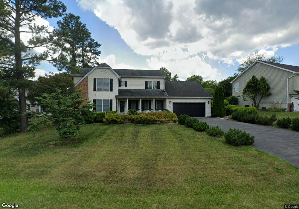
120 Battlefield Dr Winchester, VA 22602
Estimated Value: $465,280 - $527,000
4
Beds
3
Baths
2,588
Sq Ft
$192/Sq Ft
Est. Value
About This Home
This home is located at 120 Battlefield Dr, Winchester, VA 22602 and is currently estimated at $497,320, approximately $192 per square foot. 120 Battlefield Dr is a home located in Frederick County with nearby schools including Redbud Run Elementary School, James Wood Middle School, and Millbrook High School.
Ownership History
Date
Name
Owned For
Owner Type
Purchase Details
Closed on
Apr 21, 2011
Sold by
Menefee Edward D
Bought by
Lang Linda H
Current Estimated Value
Home Financials for this Owner
Home Financials are based on the most recent Mortgage that was taken out on this home.
Original Mortgage
$252,000
Outstanding Balance
$174,668
Interest Rate
4.9%
Mortgage Type
VA
Estimated Equity
$322,652
Purchase Details
Closed on
Feb 5, 2002
Sold by
Mcintire Robert L
Bought by
Menefee Edward D
Home Financials for this Owner
Home Financials are based on the most recent Mortgage that was taken out on this home.
Original Mortgage
$164,000
Interest Rate
7.08%
Mortgage Type
New Conventional
Create a Home Valuation Report for This Property
The Home Valuation Report is an in-depth analysis detailing your home's value as well as a comparison with similar homes in the area
Home Values in the Area
Average Home Value in this Area
Purchase History
| Date | Buyer | Sale Price | Title Company |
|---|---|---|---|
| Lang Linda H | $252,000 | -- | |
| Menefee Edward D | $206,000 | -- |
Source: Public Records
Mortgage History
| Date | Status | Borrower | Loan Amount |
|---|---|---|---|
| Open | Lang Linda H | $252,000 | |
| Previous Owner | Menefee Edward D | $164,000 |
Source: Public Records
Tax History Compared to Growth
Tax History
| Year | Tax Paid | Tax Assessment Tax Assessment Total Assessment is a certain percentage of the fair market value that is determined by local assessors to be the total taxable value of land and additions on the property. | Land | Improvement |
|---|---|---|---|---|
| 2025 | $1,901 | $396,000 | $93,000 | $303,000 |
| 2024 | $846 | $331,900 | $77,000 | $254,900 |
| 2023 | $1,693 | $331,900 | $77,000 | $254,900 |
| 2022 | $1,739 | $285,100 | $72,000 | $213,100 |
| 2021 | $1,739 | $285,100 | $72,000 | $213,100 |
| 2020 | $1,646 | $269,900 | $72,000 | $197,900 |
| 2019 | $1,646 | $269,900 | $72,000 | $197,900 |
| 2018 | $1,539 | $252,300 | $72,000 | $180,300 |
| 2017 | $1,514 | $252,300 | $72,000 | $180,300 |
| 2016 | $1,368 | $228,000 | $59,500 | $168,500 |
| 2015 | $1,277 | $228,000 | $59,500 | $168,500 |
| 2014 | $628 | $213,000 | $54,500 | $158,500 |
Source: Public Records
Map
Nearby Homes
- 118 Battlefield Dr
- 122 Battlefield Dr
- 135 Asbury Rd
- 116 Battlefield Dr
- 121 Battlefield Dr
- 123 Battlefield Dr
- 133 Asbury Rd
- 114 Battlefield Dr
- 108 Tucks Cir
- 119 Battlefield Dr
- 117 Battlefield Dr
- 110 Tucks Cir
- 100 Cannon Cir
- 203 Asbury Rd
- 134 Asbury Rd
- 115 Battlefield Dr
- 112 Battlefield Dr
- 124 Walls Cir
- 101 Cannon Cir
- 122 Walls Cir