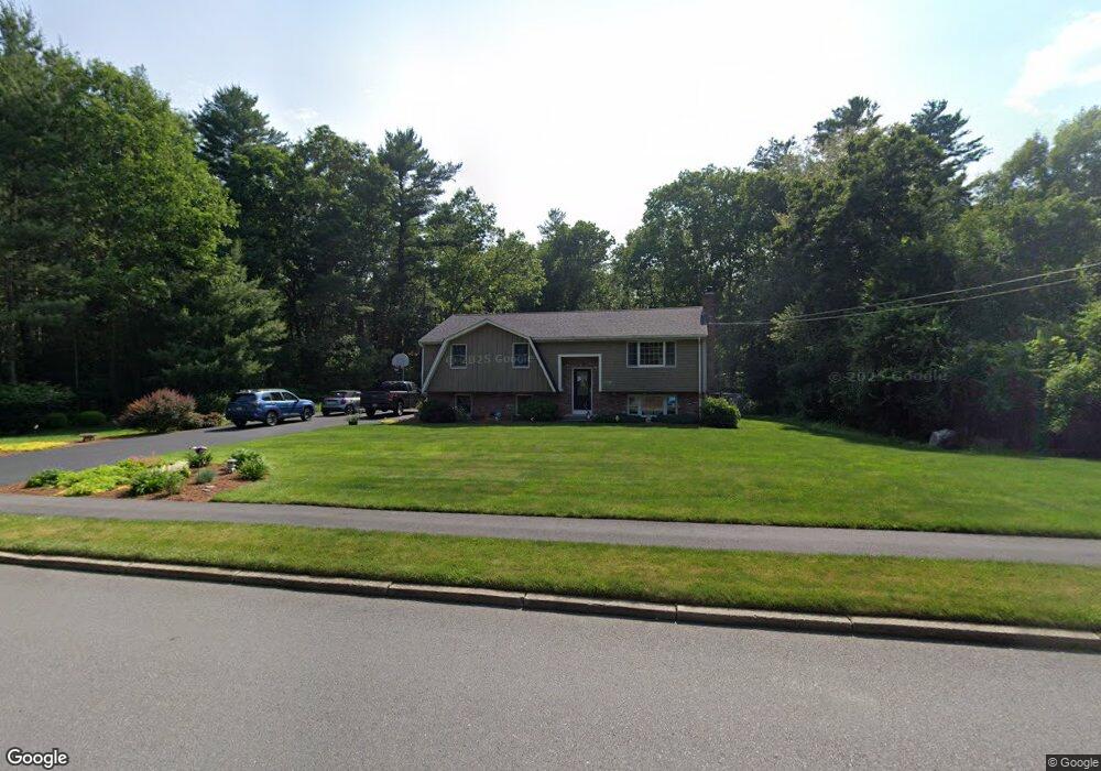
120 Black Brook Rd South Easton, MA 02375
Estimated Value: $619,000 - $636,000
3
Beds
2
Baths
1,184
Sq Ft
$529/Sq Ft
Est. Value
About This Home
This home is located at 120 Black Brook Rd, South Easton, MA 02375 and is currently estimated at $626,130, approximately $528 per square foot. 120 Black Brook Rd is a home located in Bristol County with nearby schools including Easton Middle School and Oliver Ames High School.
Ownership History
Date
Name
Owned For
Owner Type
Purchase Details
Closed on
Feb 9, 2024
Sold by
Carr Paul G and Carr Melvina P
Bought by
Carr
Current Estimated Value
Purchase Details
Closed on
Aug 15, 1974
Bought by
Carr Paul G and Carr Melvina Pearl
Create a Home Valuation Report for This Property
The Home Valuation Report is an in-depth analysis detailing your home's value as well as a comparison with similar homes in the area
Home Values in the Area
Average Home Value in this Area
Purchase History
| Date | Buyer | Sale Price | Title Company |
|---|---|---|---|
| Carr | -- | None Available | |
| Carr | -- | None Available | |
| Carr Paul G | -- | -- |
Source: Public Records
Mortgage History
| Date | Status | Borrower | Loan Amount |
|---|---|---|---|
| Previous Owner | Carr Paul G | $91,700 | |
| Previous Owner | Carr Paul G | $45,000 |
Source: Public Records
Tax History Compared to Growth
Tax History
| Year | Tax Paid | Tax Assessment Tax Assessment Total Assessment is a certain percentage of the fair market value that is determined by local assessors to be the total taxable value of land and additions on the property. | Land | Improvement |
|---|---|---|---|---|
| 2025 | $7,112 | $569,900 | $372,800 | $197,100 |
| 2024 | $6,469 | $484,600 | $296,400 | $188,200 |
| 2023 | $6,574 | $450,600 | $296,400 | $154,200 |
| 2022 | $6,254 | $406,400 | $257,300 | $149,100 |
| 2021 | $6,042 | $390,300 | $241,200 | $149,100 |
| 2020 | $5,834 | $379,300 | $231,400 | $147,900 |
| 2019 | $5,404 | $338,600 | $211,800 | $126,800 |
| 2018 | $5,117 | $315,700 | $200,400 | $115,300 |
| 2017 | $4,955 | $305,500 | $200,400 | $105,100 |
| 2016 | $4,747 | $293,200 | $193,600 | $99,600 |
| 2015 | $4,505 | $268,500 | $168,900 | $99,600 |
| 2014 | $4,376 | $262,800 | $161,400 | $101,400 |
Source: Public Records
Map
Nearby Homes
- 73 Summer St
- 9 Oak Ridge Dr
- 79 Summer St
- 15 Randall Farm Dr
- 45 Randall St
- 16 Goodspeed Ln Unit Lot 4
- 37 Kingsley Rd
- 1 Newell Cir
- 366 Center St
- 6 Kingsley Rd
- 30 King Arthur Rd
- 7 Rachael Cir
- 32 Spooner St
- 10 Matthew Cir
- 26 Short St
- 27 Short St
- 21 Scotch Dam Rd
- 17 Gaslight Ln
- 67 Center St
- 18 Prudence Crandall Ln Unit 18
- 124 Black Brook Rd
- 114 Black Brook Rd
- 121 Black Brook Rd
- 128 Black Brook Rd
- 125 Black Brook Rd
- 132 Black Brook Rd
- 113 Black Brook Rd
- 129 Black Brook Rd
- 108 Black Brook Rd
- 109 Black Brook Rd
- 133 Black Brook Rd
- 108 Kilsyth Rd
- 136 Black Brook Rd
- 105 Black Brook Rd
- 137 Black Brook Rd
- 104 Kilsyth Rd
- 101 Black Brook Rd
- 140 Black Brook Rd
- 98 Black Brook Rd
- 141 Black Brook Rd