120 Blacktop Dr Fairburn, GA 30213
Estimated Value: $310,000 - $364,000
3
Beds
3
Baths
3,238
Sq Ft
$100/Sq Ft
Est. Value
About This Home
This home is located at 120 Blacktop Dr, Fairburn, GA 30213 and is currently estimated at $324,633, approximately $100 per square foot. 120 Blacktop Dr is a home located in Fulton County with nearby schools including Liberty Point Elementary School, Renaissance Middle School, and Langston Hughes High School.
Ownership History
Date
Name
Owned For
Owner Type
Purchase Details
Closed on
Sep 30, 2005
Sold by
Legacy Communities Of Vickers
Bought by
Bush Pamela
Current Estimated Value
Home Financials for this Owner
Home Financials are based on the most recent Mortgage that was taken out on this home.
Original Mortgage
$194,300
Outstanding Balance
$103,736
Interest Rate
5.72%
Mortgage Type
FHA
Estimated Equity
$220,897
Create a Home Valuation Report for This Property
The Home Valuation Report is an in-depth analysis detailing your home's value as well as a comparison with similar homes in the area
Home Values in the Area
Average Home Value in this Area
Purchase History
| Date | Buyer | Sale Price | Title Company |
|---|---|---|---|
| Bush Pamela | $196,000 | -- |
Source: Public Records
Mortgage History
| Date | Status | Borrower | Loan Amount |
|---|---|---|---|
| Open | Bush Pamela | $194,300 |
Source: Public Records
Tax History
| Year | Tax Paid | Tax Assessment Tax Assessment Total Assessment is a certain percentage of the fair market value that is determined by local assessors to be the total taxable value of land and additions on the property. | Land | Improvement |
|---|---|---|---|---|
| 2025 | $1,633 | $130,800 | $26,120 | $104,680 |
| 2023 | $3,861 | $136,800 | $32,120 | $104,680 |
| 2022 | $1,720 | $111,600 | $21,640 | $89,960 |
| 2021 | $1,617 | $88,200 | $14,000 | $74,200 |
| 2020 | $1,633 | $87,160 | $13,840 | $73,320 |
| 2019 | $2,634 | $77,520 | $10,000 | $67,520 |
| 2018 | $1,473 | $64,280 | $12,800 | $51,480 |
| 2017 | $1,337 | $57,760 | $11,480 | $46,280 |
| 2016 | $1,335 | $57,760 | $11,480 | $46,280 |
| 2015 | $2,247 | $57,760 | $11,480 | $46,280 |
| 2014 | $1,070 | $47,640 | $7,360 | $40,280 |
Source: Public Records
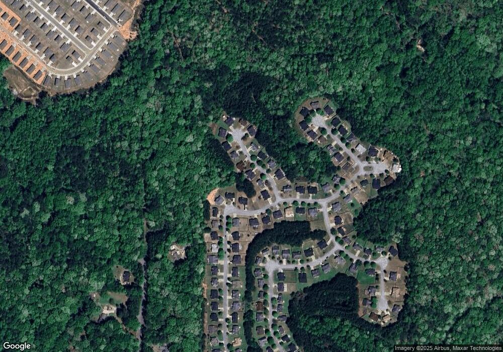
Map
Nearby Homes
- 6009 Redtop Loop
- 6230 Tennis Dr
- 5723 Union Pointe Dr
- 5699 Union Pointe Dr
- 4829 Enclave Dr
- 5324 Radford Loop
- 7624 Squire Ct
- 5845 Union Walk Dr
- 5642 Union Pointe Dr
- 0 Fireside Way Unit 10706391
- 210 Woodcliff Ct
- 4422 Manor Hill Dr
- 4654 Ravenwood Loop
- 4428 Manor Hill Dr
- 3029 Manor Hill Place
- 405 Lake Ridge Ln
- 3033 Manor Hill Place
- 3035 Manor Hill Place
- 5920 Rock Rd
- 4611 Ravenwood Loop
- 130 Blacktop Dr
- 110 Blacktop Dr
- 6081 Redtop Loop
- 135 Blacktop Dr
- 6085 Redtop Loop
- 140 Blacktop Dr
- 125 Blacktop Dr
- 100 Blacktop Dr
- 145 Blacktop Dr
- 115 Blacktop Dr
- 150 Blacktop Dr
- 6089 Redtop Loop
- 6065 Redtop Loop
- 155 Blacktop Dr
- 6088 Redtop Loop
- 6076 Redtop Loop
- 6072 Redtop Loop
- 6068 Redtop Loop
- 6093 Redtop Loop
- 160 Blacktop Dr
Your Personal Tour Guide
Ask me questions while you tour the home.