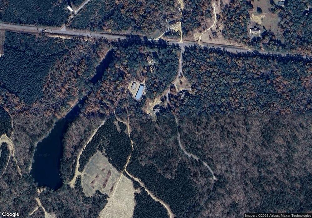
120 Camp Branch Rd West Blocton, AL 35184
Estimated Value: $446,110 - $571,000
--
Bed
--
Bath
3,985
Sq Ft
$129/Sq Ft
Est. Value
About This Home
This home is located at 120 Camp Branch Rd, West Blocton, AL 35184 and is currently estimated at $515,278, approximately $129 per square foot. 120 Camp Branch Rd is a home.
Ownership History
Date
Name
Owned For
Owner Type
Purchase Details
Closed on
Jun 23, 2022
Sold by
Lynn White Julie
Bought by
Sims Charles W
Current Estimated Value
Purchase Details
Closed on
Sep 3, 2021
Sold by
White Julie Lynn and Vaughn Karen Renee
Bought by
Grammer Terry and Grammer Christal
Home Financials for this Owner
Home Financials are based on the most recent Mortgage that was taken out on this home.
Original Mortgage
$46,325
Interest Rate
2.7%
Mortgage Type
Commercial
Create a Home Valuation Report for This Property
The Home Valuation Report is an in-depth analysis detailing your home's value as well as a comparison with similar homes in the area
Home Values in the Area
Average Home Value in this Area
Purchase History
| Date | Buyer | Sale Price | Title Company |
|---|---|---|---|
| Sims Charles W | $86,100 | Rosen Harwood Pa | |
| Grammer Terry | $54,500 | None Available |
Source: Public Records
Mortgage History
| Date | Status | Borrower | Loan Amount |
|---|---|---|---|
| Previous Owner | Grammer Terry | $46,325 |
Source: Public Records
Tax History Compared to Growth
Tax History
| Year | Tax Paid | Tax Assessment Tax Assessment Total Assessment is a certain percentage of the fair market value that is determined by local assessors to be the total taxable value of land and additions on the property. | Land | Improvement |
|---|---|---|---|---|
| 2024 | $925 | $37,800 | $900 | $36,900 |
| 2023 | $936 | $38,240 | $900 | $37,340 |
| 2022 | $764 | $31,620 | $900 | $30,720 |
| 2021 | $782 | $32,320 | $900 | $31,420 |
| 2020 | $792 | $32,680 | $900 | $31,780 |
| 2019 | $801 | $33,020 | $900 | $32,120 |
| 2018 | $796 | $32,860 | $1,060 | $31,800 |
| 2017 | $835 | $34,340 | $1,060 | $33,280 |
| 2016 | $835 | $34,340 | $1,060 | $33,280 |
| 2015 | $835 | $34,340 | $1,060 | $33,280 |
| 2014 | $846 | $32,350 | $1,050 | $32,350 |
| 2013 | $846 | $0 | $0 | $0 |
Source: Public Records
Map
Nearby Homes
- 409 Pine View Dr
- 0 Pine View Dr Unit 8 21423722
- 11086 Hickman Chapel Rd
- 0 Camp Branch Rd Unit 22466178
- 22180 Green Pine Dr
- 2590 Camp Branch Rd
- 12258 Richard St
- 21886 Eastern Valley Rd
- 21792 Eastern Valley Rd
- 2718 Old Woodstock Rd
- 11502 Spanish Trail
- 0 Pine Forest Ln Unit 2 21417016
- 130 Country Ln
- 22544 Iron Masters Loop
- 11965 Cotton Cir
- 11966 Furnace Creek Pkwy
- 11970 Foundry Cir
- 0 Bama Ln
- 605 Green Tree Dr
- 125 S Forty Crossing
- 85 Camp Branch Rd
- 3637 Grey Hill Rd
- 19026 Eastern Valley Rd
- 3737 Grey Hill Rd
- 3990 Grey Hill Rd
- 220 Mountain Top Dr
- 0 County Road 12
- 0000 County Road 12 Unit 9.4 acres
- 0000 County Road 12 Unit Parcel
- 309 Pineview Dr
- 275 Pineview Dr
- 3111 Grey Hill Rd
- 432 Pineview Dr
- 304 Mountain Top Dr
- 106 Mountain Top Dr
- 259 Pineview Dr
- 300 Mountain Top Dr
- 336 Mountain Top Dr
- 362 Pineview Dr
- 310 Armstrong Dr
