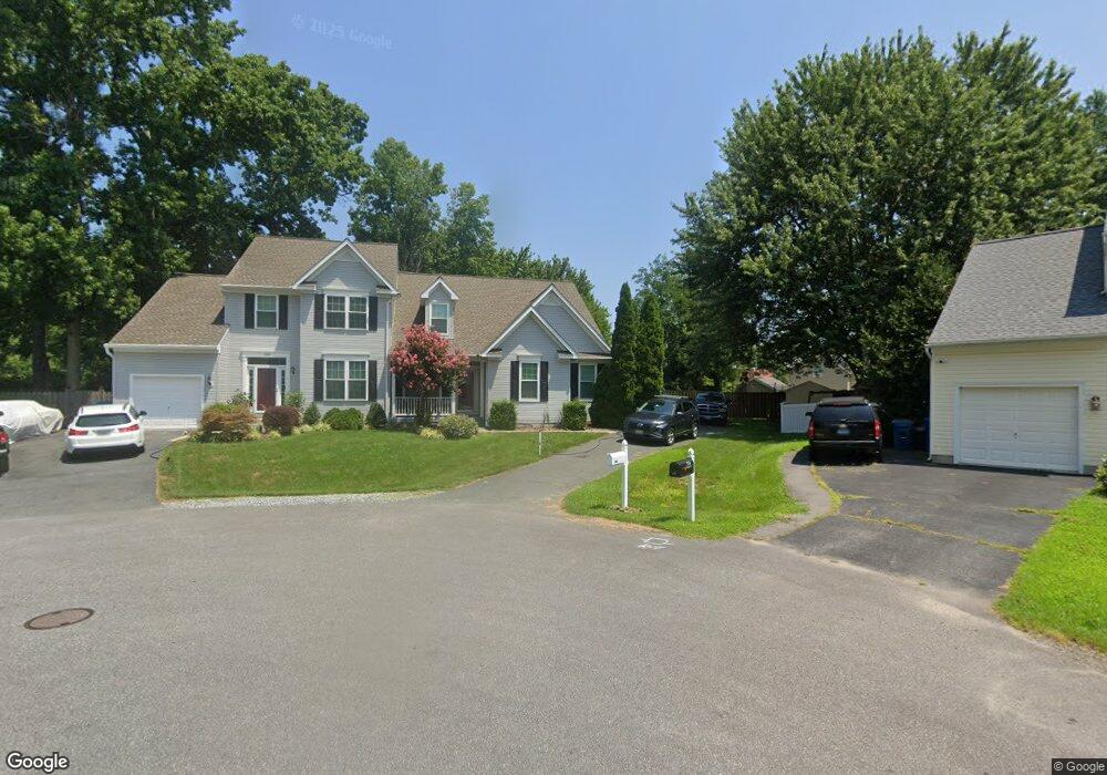
120 Chessie Ct Chester, MD 21619
Estimated Value: $435,469 - $476,000
3
Beds
3
Baths
1,778
Sq Ft
$260/Sq Ft
Est. Value
About This Home
This home is located at 120 Chessie Ct, Chester, MD 21619 and is currently estimated at $461,617, approximately $259 per square foot. 120 Chessie Ct is a home located in Queen Anne's County with nearby schools including Kent Island Elementary School, Bayside Elementary School, and Stevensville Middle School.
Ownership History
Date
Name
Owned For
Owner Type
Purchase Details
Closed on
Dec 29, 2010
Sold by
Tracy Judith C
Bought by
Tracy Judith C
Current Estimated Value
Purchase Details
Closed on
May 13, 2009
Sold by
Berard James W and Berard Janet M
Bought by
Tracy Judith C and Smith Pamela B
Purchase Details
Closed on
Apr 14, 2004
Sold by
Gaffney Eileen
Bought by
Berard James W and Berard Janet M
Purchase Details
Closed on
Jun 27, 2000
Sold by
Foster Communities Of
Bought by
Gaffney Eileen
Create a Home Valuation Report for This Property
The Home Valuation Report is an in-depth analysis detailing your home's value as well as a comparison with similar homes in the area
Home Values in the Area
Average Home Value in this Area
Purchase History
| Date | Buyer | Sale Price | Title Company |
|---|---|---|---|
| Tracy Judith C | -- | -- | |
| Tracy Judith C | $265,000 | -- | |
| Berard James W | $200,000 | -- | |
| Gaffney Eileen | $149,900 | -- |
Source: Public Records
Mortgage History
| Date | Status | Borrower | Loan Amount |
|---|---|---|---|
| Closed | Tracy Judith C | -- |
Source: Public Records
Tax History Compared to Growth
Tax History
| Year | Tax Paid | Tax Assessment Tax Assessment Total Assessment is a certain percentage of the fair market value that is determined by local assessors to be the total taxable value of land and additions on the property. | Land | Improvement |
|---|---|---|---|---|
| 2025 | $3,098 | $352,667 | $0 | $0 |
| 2024 | $2,937 | $324,033 | $0 | $0 |
| 2023 | $2,783 | $295,400 | $125,200 | $170,200 |
| 2022 | $2,779 | $294,967 | $0 | $0 |
| 2021 | $2,821 | $294,533 | $0 | $0 |
| 2020 | $2,702 | $294,100 | $125,200 | $168,900 |
| 2019 | $2,654 | $276,700 | $0 | $0 |
| 2018 | $2,487 | $259,300 | $0 | $0 |
| 2017 | $2,320 | $241,900 | $0 | $0 |
| 2016 | -- | $241,900 | $0 | $0 |
| 2015 | $1,331 | $241,900 | $0 | $0 |
| 2014 | $1,331 | $244,400 | $0 | $0 |
Source: Public Records
Map
Nearby Homes
- 112 Chessie Ct
- 132 Wheelhouse Way Unit 43
- 132 Wheelhouse Way
- 1000 Herons Nest Way Unit 32
- 1000 Herons Nest Way Unit 22
- 3000 Herons Nest Way Unit 11
- 135 Nauset Ln
- 224 Bayberry Dr
- 132 Claiborne St
- 2653 Cox Neck Rd
- 109 John Gibson Dr
- 54H Queen Caroline Ct
- 1916 Stevens Dr
- 204 Skipper Ln
- 49 Queen Guinivere Way
- 30 C Queen Mary Ct
- 202 Mchenny Ct
- 47 D Queen Anne Way
- 34 Queen Anne Way
- 1906 Harbor Dr
- 122 Chessie Ct
- 116 Chessie Ct
- 216 Dominion Rd
- 212 Dominion Rd
- 114 Chessie Ct
- 218 Dominion Rd
- 123 Chessie Ct
- 208 Dominion Rd
- 121 Chessie Ct
- 115 Chessie Ct
- 222 Dominion Rd
- 2 LOT Dominion Rd
- 110 Chessie Ct
- 207 Dominion Rd
- 1720 Main St
- 107 Chessie Ct
- 114 Hanson Ct
- 209 Dominion Rd
- 108 Hanson Ct
- 105 Chessie Ct