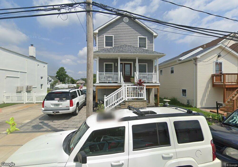
120 Cornelius St Freeport, NY 11520
Estimated Value: $667,200 - $670,000
Studio
1
Bath
1,746
Sq Ft
$383/Sq Ft
Est. Value
About This Home
This home is located at 120 Cornelius St, Freeport, NY 11520 and is currently estimated at $668,600, approximately $382 per square foot. 120 Cornelius St is a home located in Nassau County with nearby schools including Columbus Avenue School, Caroline G. Atkinson Intermediate School, and John W Dodd Middle School.
Ownership History
Date
Name
Owned For
Owner Type
Purchase Details
Closed on
Sep 7, 2012
Sold by
Drinkwater John and Drinkwater Veronica
Bought by
Drinkwater Cathi A
Current Estimated Value
Purchase Details
Closed on
Apr 21, 2012
Sold by
Drinkwater John and Drinkwater Veronica
Bought by
Drinkwater John and Drinkwater Veronica
Purchase Details
Closed on
Jul 23, 2010
Sold by
Drinkwater John and Drinkwater Veronica
Bought by
Drinkwater Veronica and Drinkwater John
Purchase Details
Closed on
Apr 30, 2010
Sold by
Drinkwater John and Drinkwater Veronica
Bought by
Drinkwater John and Drinkwater Veronica
Create a Home Valuation Report for This Property
The Home Valuation Report is an in-depth analysis detailing your home's value as well as a comparison with similar homes in the area
Home Values in the Area
Average Home Value in this Area
Purchase History
| Date | Buyer | Sale Price | Title Company |
|---|---|---|---|
| Drinkwater Cathi A | -- | -- | |
| Drinkwater John | -- | -- | |
| Drinkwater Veronica | -- | -- | |
| Drinkwater John | -- | -- |
Source: Public Records
Tax History
| Year | Tax Paid | Tax Assessment Tax Assessment Total Assessment is a certain percentage of the fair market value that is determined by local assessors to be the total taxable value of land and additions on the property. | Land | Improvement |
|---|---|---|---|---|
| 2025 | $6,095 | $456 | $122 | $334 |
| 2024 | $814 | $480 | $128 | $352 |
Source: Public Records
Map
Nearby Homes
- 120 Sportsmans Ave
- 251 Arthur St
- 177 Sportsmans Ave
- 121 Garfield St
- 130 Gordon Place
- 208 Sportsmans Ave
- 308 Bedell St
- 51 Atlantic Ave
- 176 Gordon Place
- 159 Southside Ave
- 280 Guy Lombardo Ave Unit 2H
- 280 Guy Lombardo Ave Unit 3D
- 16 Sportsmans Ave
- 494 S Ocean Ave Unit 1M
- 494 S Ocean Ave Unit 1H
- 494 S Ocean Ave Unit 3A
- 96 East Ave
- 21 Stillwell Place
- 5 Sportsmans Ave
- 175 Archer St Unit 1C
- 124 Cornelius St
- 122 Cornelius St Unit 124ST
- 122 Cornelius St
- 110 Cornelius St
- 234 Arthur St
- 125 Cornelius St
- 130 Cornelius St
- 125 Sportsmans Ave Unit 129
- 125 Sportsmans Ave Unit 125
- 131 Ray St
- 147 Sportsmans Ave
- 238 Arthur St
- 233 Arthur St
- 0 Sportsmans Ave Unit P1293511
- 149 Sportsmans Ave
- 123 Sportsmans Ave
- 111 Ray St
- 142 Sportsmans Ave
- 142 Sportsmans Ave
- 235 Arthur St
Your Personal Tour Guide
Ask me questions while you tour the home.