Estimated Value: $98,000 - $141,000
--
Bed
2
Baths
1,288
Sq Ft
$90/Sq Ft
Est. Value
About This Home
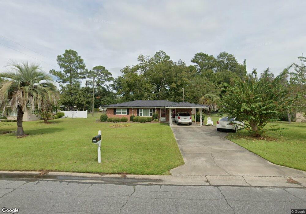
This home is located at 120 Crosby Rd, Alma, GA 31510 and is currently estimated at $115,493, approximately $89 per square foot. 120 Crosby Rd is a home located in Bacon County with nearby schools including Bacon County Primary School, Bacon County Elementary School, and Bacon County Middle School.
Ownership History
Date
Name
Owned For
Owner Type
Purchase Details
Closed on
Jul 23, 2024
Sold by
Williams Bonnie S
Bought by
Music Phillip Austin
Current Estimated Value
Home Financials for this Owner
Home Financials are based on the most recent Mortgage that was taken out on this home.
Original Mortgage
$72,000
Outstanding Balance
$71,118
Interest Rate
6.86%
Mortgage Type
New Conventional
Estimated Equity
$44,375
Purchase Details
Closed on
Apr 20, 1999
Sold by
Williams Lillie
Bought by
Williams Bonnie
Purchase Details
Closed on
Nov 3, 1993
Bought by
Williams Bonnie
Create a Home Valuation Report for This Property
The Home Valuation Report is an in-depth analysis detailing your home's value as well as a comparison with similar homes in the area
Home Values in the Area
Average Home Value in this Area
Purchase History
| Date | Buyer | Sale Price | Title Company |
|---|---|---|---|
| Music Phillip Austin | $90,000 | -- | |
| Williams Bonnie | -- | -- | |
| Williams Bonnie | $40,000 | -- |
Source: Public Records
Mortgage History
| Date | Status | Borrower | Loan Amount |
|---|---|---|---|
| Open | Music Phillip Austin | $72,000 | |
| Closed | Music Phillip Austin | $72,000 |
Source: Public Records
Tax History Compared to Growth
Tax History
| Year | Tax Paid | Tax Assessment Tax Assessment Total Assessment is a certain percentage of the fair market value that is determined by local assessors to be the total taxable value of land and additions on the property. | Land | Improvement |
|---|---|---|---|---|
| 2024 | $1,203 | $33,124 | $1,760 | $31,364 |
| 2023 | $954 | $29,804 | $1,760 | $28,044 |
| 2022 | $607 | $20,804 | $1,760 | $19,044 |
| 2021 | $589 | $20,324 | $1,760 | $18,564 |
| 2020 | $524 | $18,076 | $1,600 | $16,476 |
| 2019 | $524 | $18,076 | $1,600 | $16,476 |
| 2018 | $520 | $18,007 | $1,600 | $16,407 |
| 2017 | $725 | $18,007 | $1,600 | $16,407 |
| 2016 | $520 | $18,007 | $1,600 | $16,407 |
| 2015 | $512 | $17,800 | $1,787 | $16,013 |
| 2014 | $545 | $17,800 | $1,787 | $16,013 |
| 2013 | $545 | $14,759 | $1,786 | $12,972 |
Source: Public Records
Map
Nearby Homes
- 611 S Bead St
- 403 S Ware St
- 117 Grace Loop Unit 1
- 118 Grace Loop Unit 1
- 122 Grace Loop Unit 1
- 314 W 16th St
- 9TH E 417
- 113 Brite Blue Dr
- 198 Meadow Rd
- 166 Grace Loop Unit 1
- 907 N Pierce St
- 224 Meadow Rd
- 401 Lee St
- 0 Oriole Rd Unit 1654653
- 0 Oriole Rd Unit 10543585
- 0 Oriole Rd Unit 25773381
- 0 Oriole Rd Unit 160930
- 118 Morris Dr
- 1348 U S 1
- 1109 W 4th Street Extension
- 118 Crosby Rd
- 122 Crosby Rd
- 116 Crosby Rd
- 313 Radio Station Rd
- 124 Crosby Rd
- 315 Radio Station Rd
- 311 Radio Station Rd
- 121 Crosby Rd
- 317 Radio Station Rd
- 117 Crosby Rd
- 114 Crosby Rd
- 125 Crosby Rd
- 128 Crosby Rd
- 307 Radio Station Rd
- 321 Radio Station Rd
- 108 Taylor Rd
- 108 Crosby Rd
- 106 Taylor Rd
- 110 Taylor Rd
- 109 Crosby Rd