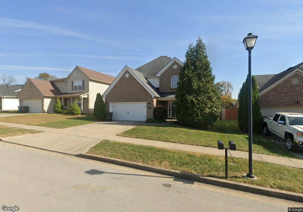
120 Dalton Rd Georgetown, KY 40324
Southeast Scott County NeighborhoodEstimated Value: $297,934 - $325,000
3
Beds
3
Baths
1,855
Sq Ft
$168/Sq Ft
Est. Value
About This Home
This home is located at 120 Dalton Rd, Georgetown, KY 40324 and is currently estimated at $311,984, approximately $168 per square foot. 120 Dalton Rd is a home located in Scott County with nearby schools including Eastern Elementary School, Scott County Middle School, and Scott County High School.
Ownership History
Date
Name
Owned For
Owner Type
Purchase Details
Closed on
Oct 15, 2009
Sold by
Ball Homes Llc
Bought by
Allen Lawrence
Current Estimated Value
Home Financials for this Owner
Home Financials are based on the most recent Mortgage that was taken out on this home.
Original Mortgage
$119,200
Outstanding Balance
$32,281
Interest Rate
5.03%
Mortgage Type
New Conventional
Estimated Equity
$279,703
Create a Home Valuation Report for This Property
The Home Valuation Report is an in-depth analysis detailing your home's value as well as a comparison with similar homes in the area
Home Values in the Area
Average Home Value in this Area
Purchase History
| Date | Buyer | Sale Price | Title Company |
|---|---|---|---|
| Allen Lawrence | $149,000 | Vgt Title Services Llc | |
| Ball Homes Llc | $22,000 | Vgt Title Services Llc |
Source: Public Records
Mortgage History
| Date | Status | Borrower | Loan Amount |
|---|---|---|---|
| Open | Allen Lawrence | $119,200 |
Source: Public Records
Tax History
| Year | Tax Paid | Tax Assessment Tax Assessment Total Assessment is a certain percentage of the fair market value that is determined by local assessors to be the total taxable value of land and additions on the property. | Land | Improvement |
|---|---|---|---|---|
| 2025 | $2,067 | $232,100 | $0 | $0 |
| 2024 | $2,002 | $222,600 | $0 | $0 |
| 2023 | $1,862 | $205,400 | $37,500 | $167,900 |
| 2022 | $1,696 | $199,500 | $35,000 | $164,500 |
| 2021 | $1,702 | $180,700 | $35,000 | $145,700 |
| 2020 | $1,479 | $172,100 | $35,000 | $137,100 |
| 2019 | $1,417 | $162,400 | $0 | $0 |
| 2018 | $1,372 | $158,100 | $0 | $0 |
| 2017 | $1,341 | $153,800 | $0 | $0 |
| 2016 | $1,211 | $150,374 | $0 | $0 |
| 2015 | $1,166 | $145,700 | $0 | $0 |
| 2014 | $1,208 | $145,700 | $0 | $0 |
| 2011 | $92 | $149,000 | $0 | $0 |
Source: Public Records
Map
Nearby Homes
- 140 Dalton Rd
- 191 Johnstone Trail
- 208 Johnstone Trail
- 206 Johnstone Trail
- 204 Johnstone Trail
- 105 Jennifer Dr
- 124 Thorndale Dr
- 144 Limestone Ln
- 139 Limestone Ln
- 115 Oxford Landing Dr
- 117 Oxford Landing Dr
- 118 Oxford Landing Dr
- 176 Oxford Landing Dr
- 3140 Paris Pike
- 120 Oxford Landing Dr
- The Sutton Bay Plan at Oxford Landing - Trend Collection
- The Granite Coast Plan at Oxford Landing - Trend Collection
- The Bayberry Lane Plan at Oxford Landing - Trend Collection
- The Balsam Springs Plan at Oxford Landing - Trend Collection
- The Newbury Cross Plan at Oxford Landing - Trend Collection
- 122 Dalton Rd
- 116 Dalton Rd
- 221 Falmouth Dr
- 124 Dalton Rd
- 223 Falmouth Dr
- 219 Falmouth Dr
- 231 Falmouth Dr
- 114 Dalton Rd
- 217 Falmouth Dr
- 123 Dalton Rd
- 121 Dalton Rd
- 121 Dalton Rd Unit 88RC
- 125 Dalton Rd
- 119 Dalton Rd
- 215 Falmouth Dr
- 117 Dalton Rd
- 127 Dalton Rd
- 112 Dalton Rd
- 103 Limestone Ln
- 224 Falmouth Dr
Your Personal Tour Guide
Ask me questions while you tour the home.