Estimated Value: $202,000 - $227,000
3
Beds
1
Bath
1,110
Sq Ft
$195/Sq Ft
Est. Value
About This Home
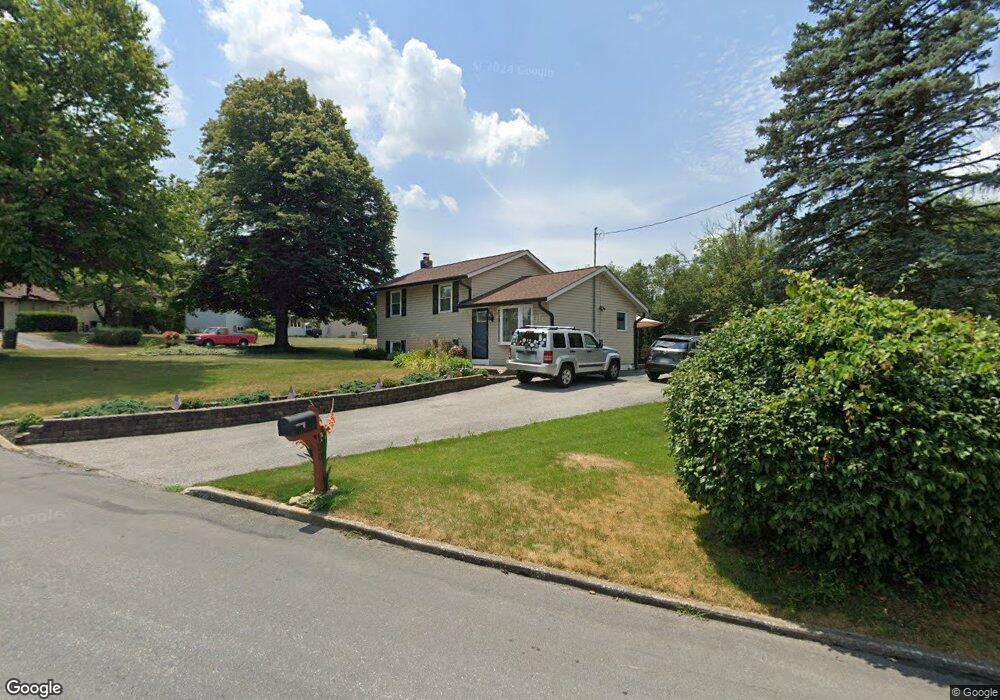
This home is located at 120 Dill Rd, York, PA 17404 and is currently estimated at $216,570, approximately $195 per square foot. 120 Dill Rd is a home located in York County with nearby schools including West York Area High School, Lincoln Charter School, and Logos Academy.
Ownership History
Date
Name
Owned For
Owner Type
Purchase Details
Closed on
Oct 4, 2005
Sold by
Hud and Harris Shameeka
Bought by
Pulsney Lori A
Current Estimated Value
Home Financials for this Owner
Home Financials are based on the most recent Mortgage that was taken out on this home.
Original Mortgage
$3,320
Interest Rate
5.78%
Mortgage Type
Stand Alone Second
Purchase Details
Closed on
May 10, 2005
Sold by
Midfirst Bank
Bought by
Hud
Purchase Details
Closed on
Apr 11, 2005
Sold by
Woleslagle Danielle and Woleslagle Kevin
Bought by
Midfirst Bank
Purchase Details
Closed on
Apr 28, 2000
Sold by
Wolfe Daniel P
Bought by
Woleslagle Kevin Lee and Woleslagle Danielle A
Home Financials for this Owner
Home Financials are based on the most recent Mortgage that was taken out on this home.
Original Mortgage
$82,321
Interest Rate
8.23%
Mortgage Type
FHA
Create a Home Valuation Report for This Property
The Home Valuation Report is an in-depth analysis detailing your home's value as well as a comparison with similar homes in the area
Home Values in the Area
Average Home Value in this Area
Purchase History
| Date | Buyer | Sale Price | Title Company |
|---|---|---|---|
| Pulsney Lori A | $83,000 | None Available | |
| Hud | -- | -- | |
| Midfirst Bank | $1,925 | -- | |
| Woleslagle Kevin Lee | $83,000 | -- |
Source: Public Records
Mortgage History
| Date | Status | Borrower | Loan Amount |
|---|---|---|---|
| Closed | Pulsney Lori A | $3,320 | |
| Open | Pulsney Lori A | $83,000 | |
| Previous Owner | Woleslagle Kevin Lee | $82,321 |
Source: Public Records
Tax History Compared to Growth
Tax History
| Year | Tax Paid | Tax Assessment Tax Assessment Total Assessment is a certain percentage of the fair market value that is determined by local assessors to be the total taxable value of land and additions on the property. | Land | Improvement |
|---|---|---|---|---|
| 2025 | $2,801 | $83,070 | $29,600 | $53,470 |
| 2024 | $2,731 | $83,070 | $29,600 | $53,470 |
| 2023 | $2,731 | $83,070 | $29,600 | $53,470 |
| 2022 | $2,731 | $83,070 | $29,600 | $53,470 |
| 2021 | $2,648 | $83,070 | $29,600 | $53,470 |
| 2020 | $2,648 | $83,070 | $29,600 | $53,470 |
| 2019 | $2,598 | $83,070 | $29,600 | $53,470 |
| 2018 | $2,577 | $83,070 | $29,600 | $53,470 |
| 2017 | $2,498 | $83,070 | $29,600 | $53,470 |
| 2016 | $0 | $83,070 | $29,600 | $53,470 |
| 2015 | -- | $83,070 | $29,600 | $53,470 |
| 2014 | -- | $83,070 | $29,600 | $53,470 |
Source: Public Records
Map
Nearby Homes
- 90 Hull Dr
- 91 Hull Dr
- 2775 Quaker Ct
- 34 N Gotwalt St
- 26 S Oxford St
- 210 N Gotwalt St
- 2310 Bannister St
- 420 N Scott St
- 1925 W Philadelphia St
- 516 N Scott St
- 766 Weldon Dr
- 112 N Diamond St
- 1720 Monroe St
- 1616 W Poplar Terrace
- 1935 Orange St
- 40 S Sumner St
- 1995 Worth St
- 39 S Sumner St
- 1705 W Market St
- 1637 Monroe St