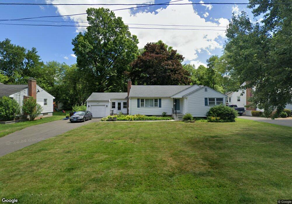
120 Dudley Rd Wethersfield, CT 06109
Estimated Value: $349,000 - $373,119
3
Beds
2
Baths
1,216
Sq Ft
$296/Sq Ft
Est. Value
About This Home
This home is located at 120 Dudley Rd, Wethersfield, CT 06109 and is currently estimated at $360,530, approximately $296 per square foot. 120 Dudley Rd is a home located in Hartford County with nearby schools including Emerson-Williams School, Silas Deane Middle School, and Wethersfield High School.
Ownership History
Date
Name
Owned For
Owner Type
Purchase Details
Closed on
Jul 11, 2025
Sold by
Bronson Diane T and Ganci Carol T
Bought by
Bronson Kevin
Current Estimated Value
Home Financials for this Owner
Home Financials are based on the most recent Mortgage that was taken out on this home.
Original Mortgage
$280,000
Outstanding Balance
$278,561
Interest Rate
6.85%
Mortgage Type
Future Advance Clause Open End Mortgage
Estimated Equity
$81,969
Purchase Details
Closed on
Apr 25, 2025
Sold by
Tanasi Ft and Bronson
Bought by
Bronson Diane T and Ganci Carol D
Purchase Details
Closed on
Sep 14, 2018
Sold by
Tanasi Donna L
Bought by
Tanasi Ft 2018 and Bronson
Create a Home Valuation Report for This Property
The Home Valuation Report is an in-depth analysis detailing your home's value as well as a comparison with similar homes in the area
Home Values in the Area
Average Home Value in this Area
Purchase History
| Date | Buyer | Sale Price | Title Company |
|---|---|---|---|
| Bronson Kevin | $350,000 | -- | |
| Bronson Diane T | -- | None Available | |
| Bronson Diane T | -- | None Available | |
| Tanasi Ft 2018 | -- | -- | |
| Tanasi Donna L | -- | -- | |
| Tanasi Ft 2018 | -- | -- |
Source: Public Records
Mortgage History
| Date | Status | Borrower | Loan Amount |
|---|---|---|---|
| Open | Bronson Kevin | $280,000 | |
| Previous Owner | Tanasi Ft 2018 | $104,000 |
Source: Public Records
Tax History
| Year | Tax Paid | Tax Assessment Tax Assessment Total Assessment is a certain percentage of the fair market value that is determined by local assessors to be the total taxable value of land and additions on the property. | Land | Improvement |
|---|---|---|---|---|
| 2025 | $9,468 | $229,690 | $96,610 | $133,080 |
| 2024 | $6,265 | $144,950 | $65,750 | $79,200 |
| 2023 | $6,056 | $144,950 | $65,750 | $79,200 |
| 2022 | $5,955 | $144,950 | $65,750 | $79,200 |
| 2021 | $5,895 | $144,950 | $65,750 | $79,200 |
| 2020 | $5,898 | $144,950 | $65,750 | $79,200 |
| 2019 | $5,905 | $144,950 | $65,750 | $79,200 |
| 2018 | $6,019 | $147,600 | $65,800 | $81,800 |
| 2017 | $5,870 | $147,600 | $65,800 | $81,800 |
| 2016 | $5,689 | $147,600 | $65,800 | $81,800 |
| 2015 | $5,637 | $147,600 | $65,800 | $81,800 |
| 2014 | $5,423 | $147,600 | $65,800 | $81,800 |
Source: Public Records
Map
Nearby Homes
- 137 Dale Rd
- 250 Edward St
- 38 Wheeler Rd
- 750 Wolcott Hill Rd
- 455 Brimfield Rd
- 89 Merriman Rd
- 108 Chamberlain Rd
- 764 Ridge Rd
- 131 Coleman Rd
- 35 Stillwold Dr
- 31 Ox Yoke Dr
- 147 Spring St
- 91 Somerset St
- 87 Somerset St
- 195 Middletown Ave
- 11 Charter Rd
- 20 Forest Dr
- 0 Collier Rd
- 23 Hillcrest Ave
- 101 Collier Rd
Your Personal Tour Guide
Ask me questions while you tour the home.