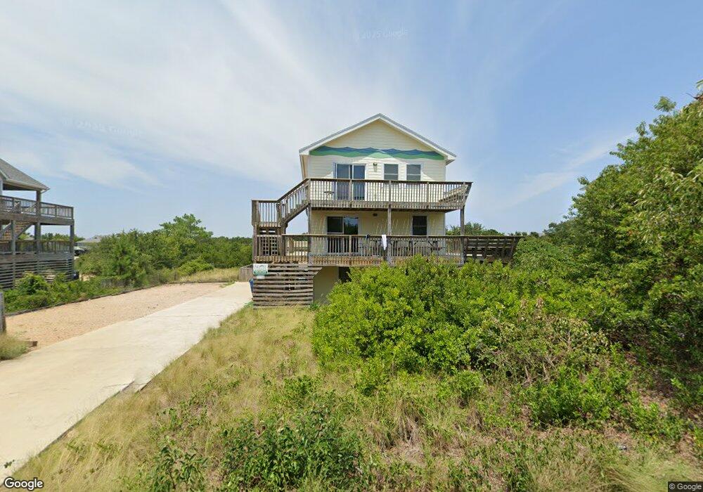
120 Dune Rd Unit 3 Kitty Hawk, NC 27949
Estimated Value: $1,075,000 - $1,108,000
3
Beds
2
Baths
2,880
Sq Ft
$377/Sq Ft
Est. Value
About This Home
This home is located at 120 Dune Rd Unit 3, Kitty Hawk, NC 27949 and is currently estimated at $1,084,727, approximately $376 per square foot. 120 Dune Rd Unit 3 is a home located in Dare County with nearby schools including Kitty Hawk Elementary School, First Flight Middle School, and First Flight High School.
Ownership History
Date
Name
Owned For
Owner Type
Purchase Details
Closed on
Feb 11, 2021
Sold by
Franklin Michael A and Franklin Marianne C
Bought by
Kelly Patrick and Kelly Maria
Current Estimated Value
Home Financials for this Owner
Home Financials are based on the most recent Mortgage that was taken out on this home.
Original Mortgage
$480,000
Outstanding Balance
$427,569
Interest Rate
2.6%
Mortgage Type
New Conventional
Estimated Equity
$657,158
Purchase Details
Closed on
Jun 30, 2005
Sold by
Vereeuteren Nicholas W and Vereauteren Lisa A
Bought by
Franklin Michael A and Franklin Marianne C
Home Financials for this Owner
Home Financials are based on the most recent Mortgage that was taken out on this home.
Original Mortgage
$92,500
Interest Rate
5.66%
Mortgage Type
Purchase Money Mortgage
Create a Home Valuation Report for This Property
The Home Valuation Report is an in-depth analysis detailing your home's value as well as a comparison with similar homes in the area
Home Values in the Area
Average Home Value in this Area
Purchase History
| Date | Buyer | Sale Price | Title Company |
|---|---|---|---|
| Kelly Patrick | $660,000 | None Available | |
| Franklin Michael A | $825,000 | None Available |
Source: Public Records
Mortgage History
| Date | Status | Borrower | Loan Amount |
|---|---|---|---|
| Open | Kelly Patrick | $480,000 | |
| Previous Owner | Franklin Michael A | $92,500 |
Source: Public Records
Tax History
| Year | Tax Paid | Tax Assessment Tax Assessment Total Assessment is a certain percentage of the fair market value that is determined by local assessors to be the total taxable value of land and additions on the property. | Land | Improvement |
|---|---|---|---|---|
| 2025 | $4,164 | $919,800 | $396,000 | $523,800 |
| 2024 | $3,892 | $584,400 | $238,500 | $345,900 |
| 2023 | $3,712 | $598,236 | $238,500 | $359,736 |
| 2022 | $3,712 | $598,236 | $238,500 | $359,736 |
| 2021 | $3,721 | $598,236 | $238,500 | $359,736 |
| 2020 | $3,571 | $598,236 | $238,500 | $359,736 |
| 2019 | $2,953 | $414,200 | $200,100 | $214,100 |
| 2018 | $2,953 | $414,200 | $200,100 | $214,100 |
| 2017 | $2,897 | $414,200 | $200,100 | $214,100 |
| 2016 | $2,719 | $414,200 | $200,100 | $214,100 |
| 2014 | $2,719 | $414,200 | $200,100 | $214,100 |
Source: Public Records
Map
Nearby Homes
- 1245 Duck Rd Unit 210
- 1245 Duck Rd Unit 205
- 1245 Duck Rd Unit 213
- 117 Sea Colony Dr Unit B-211
- 117 Sea Colony Dr Unit A-201
- 117 Sea Colony Dr Unit B111
- 117 Sea Colony Dr Unit 211 B
- 119 Ships Watch Dr Unit Lot 40
- 115 Ships Watch Dr Unit Lot 42
- 123 Foresail Ct Unit Lot 38
- 125 Foresail Ct Unit Lot 37
- 133 Ships Watch Dr Unit Lot 33
- 109 Duck Ridge Village Ct Unit 14
- 135 Ships Watch Dr Unit Lot 32
- 120 Mainsail Ct Unit Lot 10
- 137 Ships Watch Dr Unit 31
- 122 Ships Watch Dr Unit Lot 11
- 139 S Spinnaker Ct Unit Lot 30
Your Personal Tour Guide
Ask me questions while you tour the home.