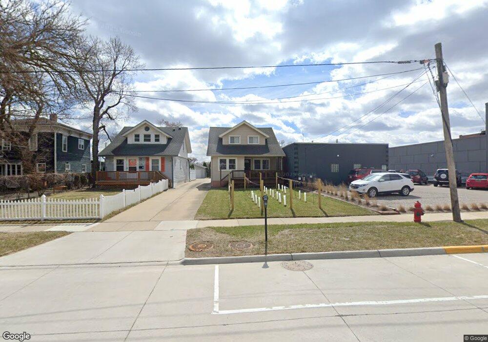
120 E 7th St Royal Oak, MI 48067
Estimated Value: $318,380 - $372,000
3
Beds
2
Baths
1,233
Sq Ft
$280/Sq Ft
Est. Value
About This Home
This home is located at 120 E 7th St, Royal Oak, MI 48067 and is currently estimated at $345,845, approximately $280 per square foot. 120 E 7th St is a home located in Oakland County with nearby schools including Oakland Elementary School, Royal Oak Middle School, and Royal Oak High School.
Ownership History
Date
Name
Owned For
Owner Type
Purchase Details
Closed on
Apr 5, 2013
Sold by
Kushon Sarah R and Wiggins Sarah R
Bought by
Taepke Jason
Current Estimated Value
Home Financials for this Owner
Home Financials are based on the most recent Mortgage that was taken out on this home.
Original Mortgage
$124,000
Outstanding Balance
$88,041
Interest Rate
3.6%
Mortgage Type
New Conventional
Estimated Equity
$257,804
Purchase Details
Closed on
Jun 24, 2009
Sold by
Maurus Joseph F and Maurus Joseph F
Bought by
Kushon Sarah R
Purchase Details
Closed on
May 5, 1999
Sold by
Mancour Leon E
Bought by
Maurus Joseph F
Create a Home Valuation Report for This Property
The Home Valuation Report is an in-depth analysis detailing your home's value as well as a comparison with similar homes in the area
Home Values in the Area
Average Home Value in this Area
Purchase History
| Date | Buyer | Sale Price | Title Company |
|---|---|---|---|
| Taepke Jason | $167,500 | Chicago Title | |
| Kushon Sarah R | $130,000 | None Available | |
| Maurus Joseph F | $156,900 | -- |
Source: Public Records
Mortgage History
| Date | Status | Borrower | Loan Amount |
|---|---|---|---|
| Open | Taepke Jason | $124,000 |
Source: Public Records
Tax History Compared to Growth
Tax History
| Year | Tax Paid | Tax Assessment Tax Assessment Total Assessment is a certain percentage of the fair market value that is determined by local assessors to be the total taxable value of land and additions on the property. | Land | Improvement |
|---|---|---|---|---|
| 2024 | $3,273 | $135,460 | $0 | $0 |
| 2022 | $3,821 | $126,080 | $0 | $0 |
| 2020 | $3,177 | $114,160 | $0 | $0 |
| 2018 | $3,821 | $105,860 | $0 | $0 |
| 2017 | $3,662 | $105,860 | $0 | $0 |
| 2015 | -- | $90,780 | $0 | $0 |
| 2014 | -- | $81,760 | $0 | $0 |
| 2011 | -- | $78,510 | $0 | $0 |
Source: Public Records
Map
Nearby Homes
- 614 S Troy St Unit 109
- 100 W 5th St Unit 604
- 100 W 5th St Unit 611
- 418 E 5th St Unit 2
- 607 Knowles St
- 319 W Lincoln Ave Unit 9
- 432 S Washington Ave Unit 905
- 432 S Washington Ave Unit 1605
- 432 S Washington Ave
- 432 S Washington Ave Unit 1701
- 902 S Washington Ave
- 1021 S Washington Ave Unit G
- 201 W Harrison Ave
- 202 Stonebrooke Ct
- 322 E Harrison Ave Unit 1
- 322 E Harrison Ave Unit 18
- 517 E 3rd St
- 533 E Harrison Ave Unit 20
- 533 E Harrison Ave Unit 12
- 533 E Harrison Ave Unit 3