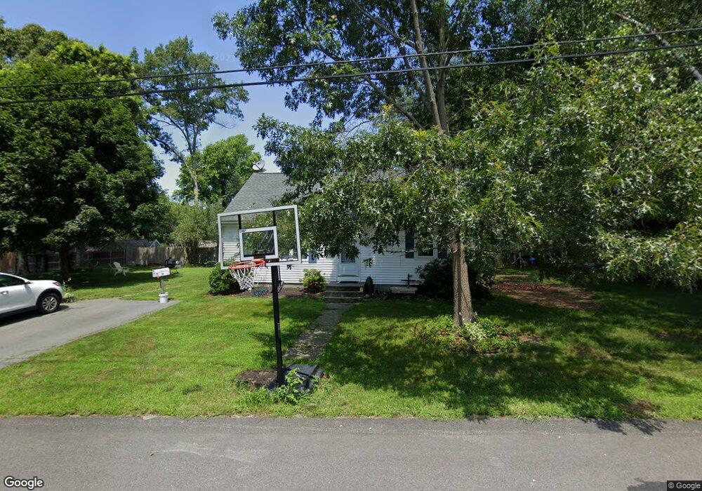
120 E Bourne Ave Tiverton, RI 02878
North Tiverton NeighborhoodEstimated Value: $429,908 - $486,000
3
Beds
1
Bath
1,296
Sq Ft
$357/Sq Ft
Est. Value
About This Home
This home is located at 120 E Bourne Ave, Tiverton, RI 02878 and is currently estimated at $462,727, approximately $357 per square foot. 120 E Bourne Ave is a home located in Newport County with nearby schools including Tiverton High School, Holy Trinity School, and Saint Stanislaus School.
Ownership History
Date
Name
Owned For
Owner Type
Purchase Details
Closed on
Jan 14, 2023
Sold by
Peter J Raposa Ret
Bought by
Peter J Raposa Ret
Current Estimated Value
Purchase Details
Closed on
Sep 6, 2018
Sold by
Raposa Peter J and Raposa Coleen J
Bought by
Raposa Peter J
Purchase Details
Closed on
Sep 30, 2011
Sold by
Soares Jeffrey A and Soares Susan W
Bought by
Raposa Peter J and Raposa Coleen J
Create a Home Valuation Report for This Property
The Home Valuation Report is an in-depth analysis detailing your home's value as well as a comparison with similar homes in the area
Home Values in the Area
Average Home Value in this Area
Purchase History
| Date | Buyer | Sale Price | Title Company |
|---|---|---|---|
| Peter J Raposa Ret | -- | None Available | |
| Raposa Peter J | -- | -- | |
| Raposa Peter J | $100,000 | -- |
Source: Public Records
Mortgage History
| Date | Status | Borrower | Loan Amount |
|---|---|---|---|
| Previous Owner | Raposa Peter J | $150,000 | |
| Previous Owner | Raposa Peter J | $0 |
Source: Public Records
Tax History
| Year | Tax Paid | Tax Assessment Tax Assessment Total Assessment is a certain percentage of the fair market value that is determined by local assessors to be the total taxable value of land and additions on the property. | Land | Improvement |
|---|---|---|---|---|
| 2025 | $3,671 | $332,200 | $113,100 | $219,100 |
| 2024 | $3,671 | $332,200 | $113,100 | $219,100 |
| 2023 | $3,595 | $241,300 | $104,700 | $136,600 |
| 2022 | $3,530 | $241,300 | $104,700 | $136,600 |
| 2021 | $3,443 | $241,300 | $104,700 | $136,600 |
| 2020 | $3,343 | $206,500 | $77,400 | $129,100 |
| 2019 | $3,261 | $206,500 | $77,400 | $129,100 |
| 2018 | $3,385 | $206,500 | $77,400 | $129,100 |
| 2017 | $3,399 | $178,400 | $74,900 | $103,500 |
| 2016 | $3,415 | $178,400 | $74,900 | $103,500 |
| 2015 | $3,415 | $178,400 | $74,900 | $103,500 |
| 2014 | $2,984 | $154,600 | $71,900 | $82,700 |
Source: Public Records
Map
Nearby Homes
- 121 Bramble Way
- 108 E Bourne Ave
- 123 E Bourne Ave
- 107 Bramble Way
- 134 E Bourne Ave
- 133 E Bourne Ave
- 113 E Bourne Ave
- 133 Bramble Way
- 130 Bramble Way
- 0 Bramble Way
- 114 Bramble Way
- 99 E Bourne Ave
- 143 E Bourne Ave
- 96 E Bourne Ave
- 150 E Bourne Ave
- 140 Warren Ave
- 150 Warren Ave
- 144 Bramble Way
- 129 Briarwood Ave
- 130 Warren Ave
Your Personal Tour Guide
Ask me questions while you tour the home.