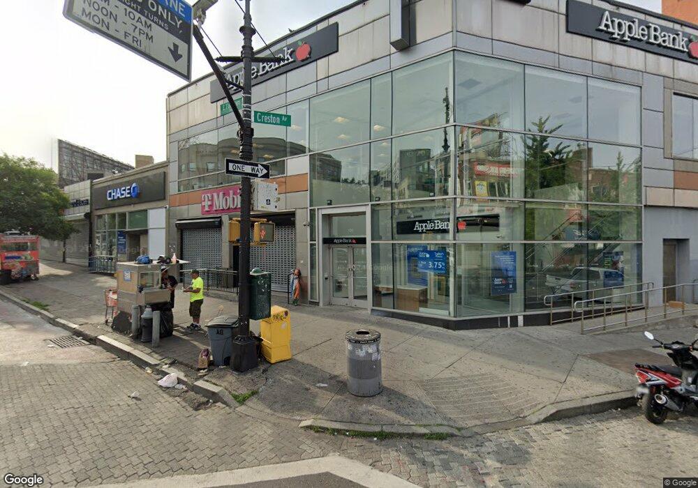
120 E Fordham Rd Bronx, NY 10468
Fordham Heights NeighborhoodEstimated Value: $14,451,751
Studio
--
Bath
9,533
Sq Ft
$1,516/Sq Ft
Est. Value
About This Home
This home is located at 120 E Fordham Rd, Bronx, NY 10468 and is currently estimated at $14,451,751, approximately $1,515 per square foot. 120 E Fordham Rd is a home located in Bronx County with nearby schools including P.S. 33 Timothy Dwight, MS 363 Academy, and Creston Academy.
Ownership History
Date
Name
Owned For
Owner Type
Purchase Details
Closed on
Apr 12, 2012
Sold by
Automotive Realty Corporation
Bought by
Adb Management Llc
Current Estimated Value
Home Financials for this Owner
Home Financials are based on the most recent Mortgage that was taken out on this home.
Original Mortgage
$660,686
Outstanding Balance
$456,343
Interest Rate
3.91%
Mortgage Type
Commercial
Estimated Equity
$13,995,408
Create a Home Valuation Report for This Property
The Home Valuation Report is an in-depth analysis detailing your home's value as well as a comparison with similar homes in the area
Home Values in the Area
Average Home Value in this Area
Purchase History
| Date | Buyer | Sale Price | Title Company |
|---|---|---|---|
| Adb Management Llc | $7,350,000 | -- |
Source: Public Records
Mortgage History
| Date | Status | Borrower | Loan Amount |
|---|---|---|---|
| Open | Adb Management Llc | $660,686 |
Source: Public Records
Tax History
| Year | Tax Paid | Tax Assessment Tax Assessment Total Assessment is a certain percentage of the fair market value that is determined by local assessors to be the total taxable value of land and additions on the property. | Land | Improvement |
|---|---|---|---|---|
| 2025 | $373,527 | $3,620,340 | $472,500 | $3,147,840 |
| 2024 | $373,527 | $3,526,500 | $472,500 | $3,054,000 |
| 2023 | $364,386 | $3,422,750 | $472,500 | $2,950,250 |
| 2022 | $355,770 | $3,307,950 | $472,500 | $2,835,450 |
| 2021 | $354,426 | $3,314,250 | $472,500 | $2,841,750 |
| 2020 | $360,253 | $4,108,050 | $472,500 | $3,635,550 |
| 2019 | $308,501 | $4,108,050 | $472,500 | $3,635,550 |
| 2018 | $265,244 | $3,994,200 | $472,500 | $3,521,700 |
| 2017 | $225,265 | $3,897,450 | $472,500 | $3,424,950 |
| 2016 | $178,103 | $1,684,350 | $472,500 | $1,211,850 |
| 2015 | $84,493 | $1,684,350 | $472,500 | $1,211,850 |
| 2014 | $84,493 | $1,660,500 | $472,500 | $1,188,000 |
Source: Public Records
Map
Nearby Homes
- 55 E 190th St Unit 41
- 55 E 190th St Unit 45
- 55 E 190th St Unit 54
- 55 E 190th St Unit 59
- 55 E 190 St Unit 57
- 55 E 190 St Unit 56
- 2420 Morris Ave Unit 6C
- 2420 Morris Ave Unit 6K
- 2413 Walton Ave
- 2506 Davidson Ave Unit 6A
- 2481 Davidson Ave
- 2410 Davidson Ave Unit B5
- 2410 Davidson Ave Unit B12
- 333 E 188th St
- 2384 Valentine Ave
- 2400 Davidson Ave Unit B23
- 2503 Marion Ave
- 2408 Grand Ave
- 2366 Davidson Ave
- 2311 Creston Ave
- 128 E Fordham Rd
- 2450 Creston Ave
- 2477-2495 Grand Concourse
- 114 E Fordham Rd
- 118 E Fordham Rd
- 125 E Fordham Rd
- 2481-2485 Creston Ave
- 2465 Grand Concourse
- 115-119 E Fordham Rd
- 72 E 190th St
- 2446 Creston Ave
- 66 E 190th St
- 2445 Creston Ave
- 2437-2439 Grand Concourse
- 114-118 E 188th St
- 62 E 190th St
- 2432 Creston Ave
- 160 E 188th St
- 2470 Morris Ave
- 58 E 190th St
Your Personal Tour Guide
Ask me questions while you tour the home.