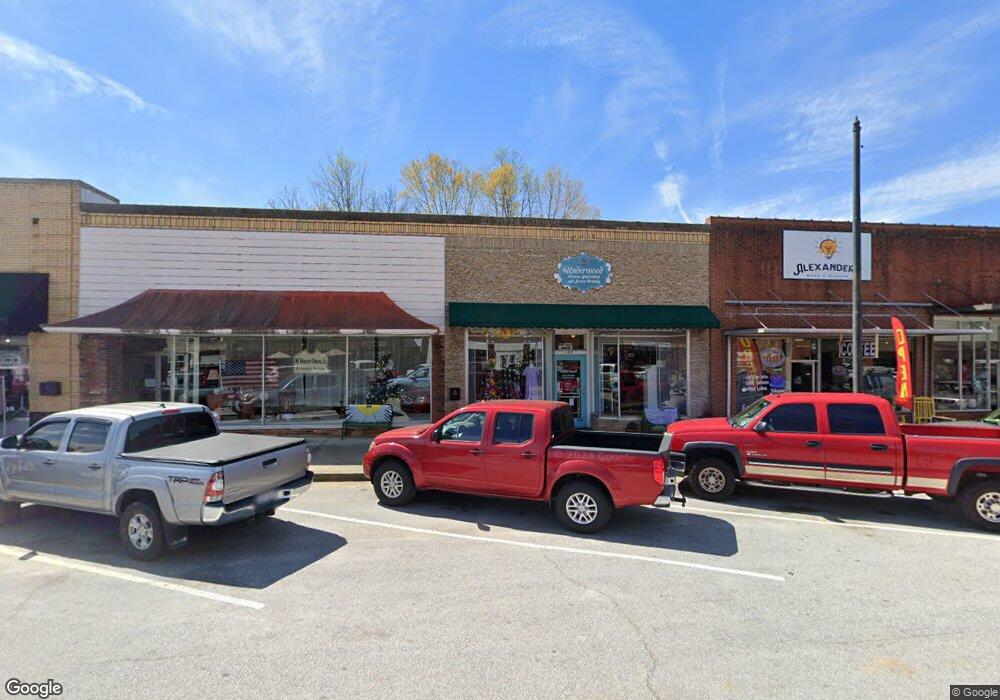
120 E Main St Walhalla, SC 29691
Estimated Value: $124,930
Studio
--
Bath
1,000
Sq Ft
$125/Sq Ft
Est. Value
About This Home
This home is located at 120 E Main St, Walhalla, SC 29691 and is currently estimated at $124,930, approximately $124 per square foot. 120 E Main St is a home located in Oconee County with nearby schools including James M. Brown Elementary School, Walhalla Middle School, and Walhalla High School.
Ownership History
Date
Name
Owned For
Owner Type
Purchase Details
Closed on
Mar 27, 2015
Sold by
Belknap Timothy Dale and Lamacraft Sara
Bought by
Underwood Stephen David and Underwood Melissa
Current Estimated Value
Home Financials for this Owner
Home Financials are based on the most recent Mortgage that was taken out on this home.
Original Mortgage
$52,000
Interest Rate
3.79%
Mortgage Type
Commercial
Purchase Details
Closed on
May 4, 2012
Sold by
Estate Of John Henry Thomas
Bought by
Belknap Timothy D and Lamacraft Sara
Create a Home Valuation Report for This Property
The Home Valuation Report is an in-depth analysis detailing your home's value as well as a comparison with similar homes in the area
Home Values in the Area
Average Home Value in this Area
Purchase History
| Date | Buyer | Sale Price | Title Company |
|---|---|---|---|
| Underwood Stephen David | $65,000 | -- | |
| Belknap Timothy D | $43,000 | -- |
Source: Public Records
Mortgage History
| Date | Status | Borrower | Loan Amount |
|---|---|---|---|
| Closed | Underwood Stephen David | $52,000 |
Source: Public Records
Tax History
| Year | Tax Paid | Tax Assessment Tax Assessment Total Assessment is a certain percentage of the fair market value that is determined by local assessors to be the total taxable value of land and additions on the property. | Land | Improvement |
|---|---|---|---|---|
| 2025 | $1,109 | $2,442 | $933 | $1,509 |
| 2024 | $1,102 | $2,442 | $933 | $1,509 |
| 2023 | $1,083 | $2,442 | $933 | $1,509 |
| 2022 | $1,094 | $2,442 | $933 | $1,509 |
| 2021 | $879 | $2,607 | $1,098 | $1,509 |
| 2020 | $879 | $0 | $0 | $0 |
| 2019 | $879 | $0 | $0 | $0 |
| 2018 | $856 | $0 | $0 | $0 |
| 2017 | $1,146 | $0 | $0 | $0 |
| 2016 | $1,146 | $0 | $0 | $0 |
| 2015 | -- | $0 | $0 | $0 |
| 2014 | -- | $3,401 | $1,412 | $1,990 |
| 2013 | -- | $0 | $0 | $0 |
Source: Public Records
Map
Nearby Homes
- 320 Jaynes St
- 00 Keowee St
- 606 W South Broad St
- 00 N Church St
- 318 S Pine St
- 807 W Main St
- 326 Kenneth St
- 2423 Westminster Hwy
- 00 Abbott Ln
- 804 W North Broad St
- 107 S Laurel St
- 109 S Laurel St
- 209 Moore Ave
- 384 E Woodland Dr
- 204 Friendship Dr
- 223 N Dogwood Dr
- 147 White Oak St
- 606 N Poplar St
- 00 Fox Run Rd
- 323 Fox Run Rd
- 116 E Main St
- 52 E Main St
- 106 S Catherine St
- 112 S Catherine St
- 000 Highway 183
- 200 E Main St
- 531 Back Tree Ln
- 535 Back Tree Ln
- 527 Back Tree Ln
- 519 Back Tree Ln
- 515 Back Tree Ln
- 523 Back Tree Ln
- 199 La Z Acres Rd
- 403 Chadwick Ln
- 101 W Main St
- 100 W Main St
- 210 E Main St
- 110 S College St
- 107 N Catherine St
- 106 N College St
Your Personal Tour Guide
Ask me questions while you tour the home.