120 Fine Dr Unit 3/4 Murphy, NC 28906
Estimated Value: $300,000 - $335,000
3
Beds
3
Baths
1,312
Sq Ft
$242/Sq Ft
Est. Value
About This Home
This home is located at 120 Fine Dr Unit 3/4, Murphy, NC 28906 and is currently estimated at $317,643, approximately $242 per square foot. 120 Fine Dr Unit 3/4 is a home located in Cherokee County with nearby schools including Martins Creek Elementary/Middle School and Murphy High School.
Ownership History
Date
Name
Owned For
Owner Type
Purchase Details
Closed on
Aug 31, 2020
Sold by
Hendrix Robert C and Hendrix Rhona G
Bought by
Connor Keith Donald and Connor Cathy Mccue
Current Estimated Value
Home Financials for this Owner
Home Financials are based on the most recent Mortgage that was taken out on this home.
Original Mortgage
$136,230
Outstanding Balance
$120,027
Interest Rate
3%
Mortgage Type
New Conventional
Estimated Equity
$197,616
Purchase Details
Closed on
Oct 31, 2011
Sold by
Verrico Roland C and Verrico Barbara A
Bought by
Hendrix Robert C
Home Financials for this Owner
Home Financials are based on the most recent Mortgage that was taken out on this home.
Original Mortgage
$90,405
Interest Rate
4.17%
Mortgage Type
New Conventional
Purchase Details
Closed on
Jul 1, 2008
Sold by
Verrico Roland C and Verrico Barbara A
Bought by
Verrico Roland C and Verrico Barbara A
Create a Home Valuation Report for This Property
The Home Valuation Report is an in-depth analysis detailing your home's value as well as a comparison with similar homes in the area
Home Values in the Area
Average Home Value in this Area
Purchase History
| Date | Buyer | Sale Price | Title Company |
|---|---|---|---|
| Connor Keith Donald | $170,500 | Chicago Title | |
| Hendrix Robert C | $100,500 | None Available | |
| Verrico Roland C | -- | -- |
Source: Public Records
Mortgage History
| Date | Status | Borrower | Loan Amount |
|---|---|---|---|
| Open | Connor Keith Donald | $136,230 | |
| Previous Owner | Hendrix Robert C | $90,405 |
Source: Public Records
Tax History
| Year | Tax Paid | Tax Assessment Tax Assessment Total Assessment is a certain percentage of the fair market value that is determined by local assessors to be the total taxable value of land and additions on the property. | Land | Improvement |
|---|---|---|---|---|
| 2025 | $1,209 | $170,560 | $0 | $0 |
| 2024 | $12 | $170,560 | $0 | $0 |
| 2023 | $1,199 | $170,560 | $0 | $0 |
| 2022 | $1,199 | $170,560 | $0 | $0 |
| 2021 | $1,011 | $170,560 | $12,000 | $158,560 |
| 2020 | $654 | $120,300 | $0 | $0 |
| 2019 | $654 | $100,840 | $0 | $0 |
| 2018 | $654 | $100,840 | $0 | $0 |
| 2017 | $654 | $100,840 | $0 | $0 |
| 2016 | $654 | $100,840 | $0 | $0 |
| 2015 | $654 | $100,840 | $15,430 | $85,410 |
| 2012 | -- | $100,840 | $15,430 | $85,410 |
Source: Public Records
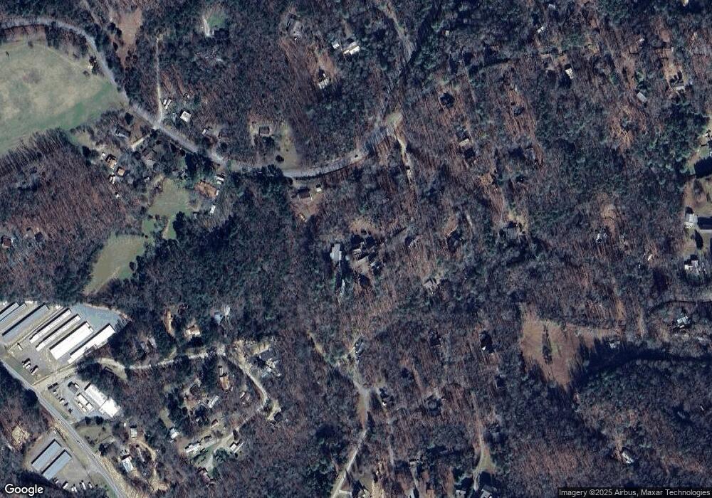
Map
Nearby Homes
- 168 Goldfield Rd
- Lot 18 Little Cottontail Rd
- 32 Rollingwood Ln
- 214 Hedden Rd
- Lot 7 Holly Ridge Ln
- 0 Bear Creek Unit 425044
- 206 Hedden Rd
- 0 Dones Dr
- 15-19 Indian Rock Springs
- 24 Oakcrest Ln
- 161 Boulder Mountain Dr
- 150 Cassady Ln
- 981 Sunset Ln
- Lot 208 Boulder Creek Rd
- 2.84 Boulder Creek Rd
- na W 331 Yellow Jacket Ln
- 205 Posey Place
- TBD Posey Place
- 1997 Country Walk
- 00 Old Evans Rd
Your Personal Tour Guide
Ask me questions while you tour the home.