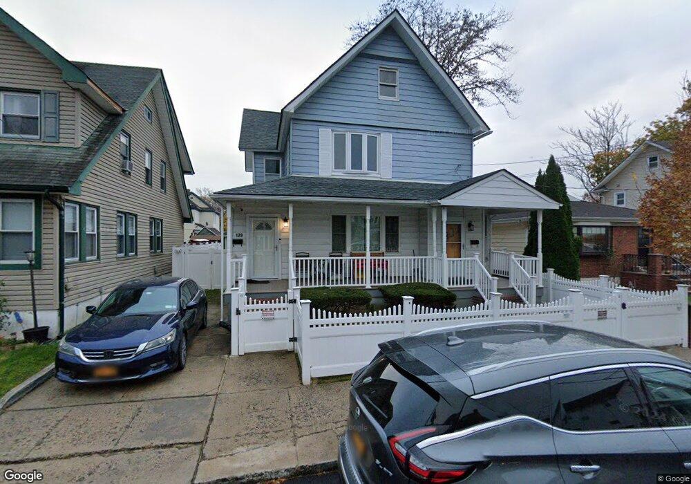
120 Floyd St Staten Island, NY 10310
West Brighton NeighborhoodEstimated Value: $685,373 - $826,000
--
Bed
--
Bath
2,152
Sq Ft
$350/Sq Ft
Est. Value
About This Home
This home is located at 120 Floyd St, Staten Island, NY 10310 and is currently estimated at $753,843, approximately $350 per square foot. 120 Floyd St is a home located in Richmond County with nearby schools including P.S. 19 The Curtis School, Intermediate School 27, and Susan E Wagner High School.
Ownership History
Date
Name
Owned For
Owner Type
Purchase Details
Closed on
Jan 23, 2019
Sold by
Albanese Marlene
Bought by
Sanders Terry L and Gordon Robert A
Current Estimated Value
Home Financials for this Owner
Home Financials are based on the most recent Mortgage that was taken out on this home.
Original Mortgage
$608,973
Outstanding Balance
$538,305
Interest Rate
4.87%
Mortgage Type
FHA
Estimated Equity
$215,538
Purchase Details
Closed on
Nov 13, 2007
Sold by
Masiello Madeline A
Bought by
Albanese Marlene
Create a Home Valuation Report for This Property
The Home Valuation Report is an in-depth analysis detailing your home's value as well as a comparison with similar homes in the area
Home Values in the Area
Average Home Value in this Area
Purchase History
| Date | Buyer | Sale Price | Title Company |
|---|---|---|---|
| Sanders Terry L | $630,000 | Old Republic National Title | |
| Albanese Marlene | -- | None Available |
Source: Public Records
Mortgage History
| Date | Status | Borrower | Loan Amount |
|---|---|---|---|
| Open | Sanders Terry L | $608,973 |
Source: Public Records
Tax History Compared to Growth
Tax History
| Year | Tax Paid | Tax Assessment Tax Assessment Total Assessment is a certain percentage of the fair market value that is determined by local assessors to be the total taxable value of land and additions on the property. | Land | Improvement |
|---|---|---|---|---|
| 2025 | $5,241 | $40,740 | $5,662 | $35,078 |
| 2024 | $5,241 | $42,840 | $5,080 | $37,760 |
| 2023 | $5,194 | $25,574 | $5,394 | $20,180 |
| 2022 | $5,105 | $39,900 | $8,340 | $31,560 |
| 2021 | $5,142 | $35,880 | $8,340 | $27,540 |
| 2020 | $7,156 | $35,580 | $8,340 | $27,240 |
| 2019 | $9,102 | $30,900 | $8,340 | $22,560 |
| 2018 | $1,024 | $21,312 | $6,954 | $14,358 |
| 2017 | $1,299 | $21,312 | $6,598 | $14,714 |
| 2016 | $1,198 | $20,359 | $6,706 | $13,653 |
| 2015 | $950 | $19,207 | $6,155 | $13,052 |
| 2014 | $950 | $18,120 | $6,960 | $11,160 |
Source: Public Records
Map
Nearby Homes
- 837 Delafield Ave Unit A
- 886 Delafield Ave
- 176 Dubois Ave
- 61 Greenleaf Ave
- 371 Jewett Ave
- 771 Delafield Ave
- 109 Lyceum Ct
- 322 Jewett Ave
- 246 Dubois Ave
- 286 Jewett Ave
- 62 Lyceum Ct
- 172-174 Llewellyn Place
- 448 Clove Rd
- 722 Post Ave
- 433 Clove Rd
- 859 Post Ave
- 200 Llewellyn Place
- 21 Dryden Ct
- 79 Mundy Ave
- 704 Delafield Ave
- 118 Floyd St
- 124 Floyd St
- 116 Floyd St
- 128 Floyd St
- 869 Delafield Ave
- 863 Delafield Ave Unit Building
- 873 Delafield Ave
- 861 Delafield Ave
- 121 Floyd St
- 96 Greenleaf Ave
- 877 Delafield Ave
- 98 Greenleaf Ave
- 90 Greenleaf Ave
- 123 Floyd St
- 117 Floyd St
- 129 Floyd St
- 141 Dubois Ave
- 145 Dubois Ave
- 113 Floyd St
- 857 Delafield Ave