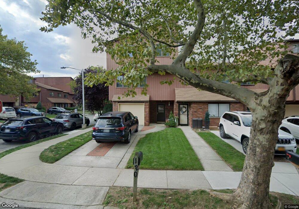
120 Gateway Dr Unit 78 Staten Island, NY 10304
Concord NeighborhoodEstimated Value: $803,000 - $875,000
4
Beds
4
Baths
2,490
Sq Ft
$334/Sq Ft
Est. Value
About This Home
This home is located at 120 Gateway Dr Unit 78, Staten Island, NY 10304 and is currently estimated at $832,712, approximately $334 per square foot. 120 Gateway Dr Unit 78 is a home located in Richmond County with nearby schools including P.S. 48 - William C. Wilcox, I.S. 49 Berta A Dreyfus, and New Dorp High School.
Ownership History
Date
Name
Owned For
Owner Type
Purchase Details
Closed on
Oct 14, 2005
Sold by
Fuchs Jeffrey and Fuchs Dona
Bought by
Reytblat David and Lantsman Larisa
Current Estimated Value
Create a Home Valuation Report for This Property
The Home Valuation Report is an in-depth analysis detailing your home's value as well as a comparison with similar homes in the area
Home Values in the Area
Average Home Value in this Area
Purchase History
| Date | Buyer | Sale Price | Title Company |
|---|---|---|---|
| Reytblat David | $525,000 | Stewart Title Insurance Co |
Source: Public Records
Tax History Compared to Growth
Tax History
| Year | Tax Paid | Tax Assessment Tax Assessment Total Assessment is a certain percentage of the fair market value that is determined by local assessors to be the total taxable value of land and additions on the property. | Land | Improvement |
|---|---|---|---|---|
| 2025 | $6,533 | $47,342 | $4,318 | $43,024 |
| 2024 | $6,545 | $38,697 | $5,243 | $33,454 |
| 2023 | $6,216 | $32,007 | $5,310 | $26,697 |
| 2022 | $5,741 | $32,098 | $5,980 | $26,118 |
| 2021 | $5,692 | $28,486 | $5,980 | $22,506 |
| 2020 | $6,366 | $31,902 | $5,980 | $25,922 |
| 2019 | $6,026 | $30,207 | $5,980 | $24,227 |
| 2018 | $5,687 | $29,359 | $5,841 | $23,518 |
| 2017 | $5,347 | $27,698 | $5,980 | $21,718 |
| 2016 | $5,014 | $26,633 | $5,980 | $20,653 |
| 2015 | $4,660 | $26,228 | $5,980 | $20,248 |
| 2014 | $4,660 | $25,869 | $5,510 | $20,359 |
Source: Public Records
Map
Nearby Homes
- 164 Stonegate Dr
- 63 Gateway Dr Unit 172
- 31 Alan Loop Unit 65
- 72 Alan Loop
- 89 Columbus Ave
- 98 N Railroad Ave
- 62 Columbus Ave
- 4 Sheridan Ave
- 23 Marie St
- 25 Marie St
- 22 Scranton St
- 84 Sheridan Ave
- 24 Roosevelt St
- 456 Oder Ave
- 1890 Clove Rd
- 81 Providence St
- 16 Tacoma St
- 69 Fayette Ave
- 13 Wilson Terrace
- 6 Eltinge St
- 122 Gateway Dr
- 124 Gateway Dr
- 126 Gateway Dr Unit 81
- 128 Gateway Dr Unit 82
- 130 Gateway Dr Unit 83
- 156 Stonegate Dr Unit 93
- 132 Gateway Dr
- 152 Stonegate Dr Unit 91
- 154 Stonegate Dr Unit 92
- 150 Stonegate Dr Unit 90
- 160 Stonegate Dr
- 158 Stonegate Dr
- 141 Stonegate Dr
- 134 Gateway Dr Unit 85
- 162 Stonegate Dr
- 15 Alan Loop
- 139 Stonegate Dr
- 136 Gateway Dr Unit 86
- 140 Stonegate Dr
- 17 Alan Loop