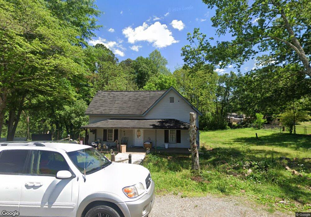
120 Grogan St Ball Ground, GA 30107
Estimated Value: $192,000 - $256,106
3
Beds
2
Baths
1,442
Sq Ft
$162/Sq Ft
Est. Value
About This Home
This home is located at 120 Grogan St, Ball Ground, GA 30107 and is currently estimated at $233,035, approximately $161 per square foot. 120 Grogan St is a home located in Cherokee County with nearby schools including Ball Ground Elementary School, Creekland Middle School, and Creekview High School.
Ownership History
Date
Name
Owned For
Owner Type
Purchase Details
Closed on
Apr 10, 2025
Sold by
Nix Patricia Trust
Bought by
Grogan Street Investments Llc
Current Estimated Value
Home Financials for this Owner
Home Financials are based on the most recent Mortgage that was taken out on this home.
Original Mortgage
$165,000
Outstanding Balance
$163,969
Interest Rate
6.65%
Mortgage Type
New Conventional
Estimated Equity
$69,066
Purchase Details
Closed on
Aug 12, 2016
Sold by
Larry
Bought by
Irrevoc Robert Patricia and Irrevoc Robert Nix
Create a Home Valuation Report for This Property
The Home Valuation Report is an in-depth analysis detailing your home's value as well as a comparison with similar homes in the area
Home Values in the Area
Average Home Value in this Area
Purchase History
| Date | Buyer | Sale Price | Title Company |
|---|---|---|---|
| Grogan Street Investments Llc | $185,000 | -- | |
| Irrevoc Robert Patricia | -- | -- |
Source: Public Records
Mortgage History
| Date | Status | Borrower | Loan Amount |
|---|---|---|---|
| Open | Grogan Street Investments Llc | $165,000 |
Source: Public Records
Tax History Compared to Growth
Tax History
| Year | Tax Paid | Tax Assessment Tax Assessment Total Assessment is a certain percentage of the fair market value that is determined by local assessors to be the total taxable value of land and additions on the property. | Land | Improvement |
|---|---|---|---|---|
| 2025 | $2,040 | $68,040 | $33,800 | $34,240 |
| 2024 | $1,903 | $63,600 | $33,800 | $29,800 |
| 2023 | $1,960 | $65,480 | $33,800 | $31,680 |
| 2022 | $1,787 | $59,120 | $33,800 | $25,320 |
| 2021 | $1,453 | $44,000 | $26,000 | $18,000 |
| 2020 | $1,220 | $36,520 | $18,720 | $17,800 |
| 2019 | $1,149 | $34,680 | $18,720 | $15,960 |
| 2018 | $1,035 | $30,800 | $16,880 | $13,920 |
| 2017 | $923 | $68,800 | $15,600 | $11,920 |
| 2016 | $721 | $53,000 | $10,400 | $10,800 |
| 2015 | $699 | $50,600 | $10,400 | $9,840 |
| 2014 | $680 | $48,800 | $10,400 | $9,120 |
Source: Public Records
Map
Nearby Homes
- 256 Cartersville St
- 125 Stripling St
- 115 Dixie Ln
- 165 Blackwell St
- 105 Tanya Way
- 107 Tanya Way
- 128 Tanya Way
- 548 Old Canton Rd
- 286 Lowry St
- 199 Mount Moriah Rd
- 137 Lynwood Ln
- 133 Lynwood Ln
- 191 Mount Moriah Rd
- 239 Northridge Rd
- 277 Reese Way
- 132 Lynwood Ln
- 253 Northridge Rd
- 127 Mills Ln
- 549 Groover St
- 326 Reese Way
- 137 Grogan St
- 141 Grogan St
- 133 Grogan St
- 140 Grogan St
- 115 Grogan St
- 149 Grogan St
- 150 Grogan St
- 153 Grogan St
- 10 ac Ball Ground Hwy
- 7500 Ball Ground Hwy
- 157 Grogan St
- 150 Cartersville St
- 413 Cartersville St
- 196 Cartersville St
- 255 Cartersville St
- 190 Cartersville St
- 161 Grogan St
- 2970 Ball Ground Hwy
- 160 Grogan St
- 200 Cartersville St