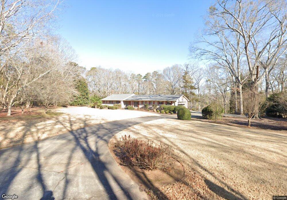
120 Hanover Dr Bogart, GA 30622
Estimated Value: $409,778 - $466,000
--
Bed
--
Bath
2,476
Sq Ft
$176/Sq Ft
Est. Value
About This Home
This home is located at 120 Hanover Dr, Bogart, GA 30622 and is currently estimated at $434,945, approximately $175 per square foot. 120 Hanover Dr is a home located in Clarke County with nearby schools including Cleveland Road Elementary School, Burney-Harris-Lyons Middle School, and Clarke Central High School.
Ownership History
Date
Name
Owned For
Owner Type
Purchase Details
Closed on
Apr 10, 2025
Sold by
Newton Glenn Hugh
Bought by
Glenn Hugh Newton Trust and Bryan Patsy Lynn
Current Estimated Value
Purchase Details
Closed on
Oct 22, 2010
Sold by
Newton Sarah Juanita Moore
Bought by
Newton Glenn Hugh
Purchase Details
Closed on
Feb 22, 2008
Sold by
Newton Mark A
Bought by
Newton Glenn Hugh
Purchase Details
Closed on
Dec 11, 2007
Sold by
Not Provided
Bought by
Newton Glenn Hugh
Create a Home Valuation Report for This Property
The Home Valuation Report is an in-depth analysis detailing your home's value as well as a comparison with similar homes in the area
Home Values in the Area
Average Home Value in this Area
Purchase History
| Date | Buyer | Sale Price | Title Company |
|---|---|---|---|
| Glenn Hugh Newton Trust | -- | -- | |
| Newton Glenn Hugh | -- | -- | |
| Newton Glenn Hugh | -- | -- | |
| Newton Glenn Hugh | -- | -- | |
| Newton Glenn Hugh | -- | -- |
Source: Public Records
Tax History Compared to Growth
Tax History
| Year | Tax Paid | Tax Assessment Tax Assessment Total Assessment is a certain percentage of the fair market value that is determined by local assessors to be the total taxable value of land and additions on the property. | Land | Improvement |
|---|---|---|---|---|
| 2024 | $2,069 | $121,457 | $21,930 | $99,527 |
| 2023 | $694 | $108,602 | $21,930 | $86,672 |
| 2022 | $1,957 | $91,588 | $21,930 | $69,658 |
| 2021 | $1,973 | $85,109 | $21,930 | $63,179 |
| 2020 | $1,969 | $84,794 | $21,930 | $62,864 |
| 2019 | $1,925 | $80,300 | $21,930 | $58,370 |
| 2018 | $1,866 | $76,031 | $21,930 | $54,101 |
| 2017 | $1,853 | $75,119 | $21,930 | $53,189 |
| 2016 | $1,868 | $76,234 | $21,930 | $54,304 |
| 2015 | $1,847 | $74,726 | $21,930 | $52,796 |
| 2014 | $1,852 | $75,043 | $21,930 | $53,113 |
Source: Public Records
Map
Nearby Homes
- 100 Hanover Dr
- 112 Deerhollow Rd
- 500 Cleveland Rd
- 190 W Huntington Rd
- 240 W Huntington Rd
- 150 Callaway Dr
- 125 Deerfield Rd
- 116 Laurel Springs Dr
- 240 Deerfield Rd
- 637 Huntington Rd Unit B1
- 250 Cleveland Rd Unit 228
- 212 Huntington Shoals Dr
- 141 Huntington Shoals Dr
- 240 Cleveland Rd Unit 400
- 240 Cleveland Rd Unit 105
- 211 Littleton Way
- 470 Huntington Rd Unit 5
- 256 Cherokee Ridge
- 135 Hanover Dr
- 170 Hanover Cir
- 165 Hanover Dr
- 180 Hanover Dr
- 130 Hanover Cir
- 785 Cleveland Rd
- 175 Hanover Dr
- 775 Cleveland Rd
- 0 Hanover Cir Unit 8031165
- 0 Hanover Cir Unit 3062583
- 675 Cleveland Rd
- 185 Hanover Dr
- 186 Hanover Dr
- 137 Hanover Cir
- 205 Hanover Dr
- 215 Hanover Dr
- 750 Cleveland Rd
- 157 Hanover Cir
- 157 Hanover Cir Unit 9
- 0 Hanover Dr Unit CM382540