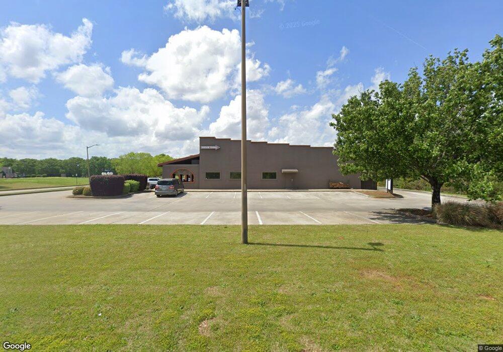
120 Howland Ave Warner Robins, GA 31088
Estimated Value: $1,108,418
--
Bed
--
Bath
6,499
Sq Ft
$171/Sq Ft
Est. Value
About This Home
This home is located at 120 Howland Ave, Warner Robins, GA 31088 and is currently estimated at $1,108,418, approximately $170 per square foot. 120 Howland Ave is a home located in Houston County with nearby schools including David A. Perdue Primary School, David A. Perdue Elementary School, and Feagin Mill Middle School.
Ownership History
Date
Name
Owned For
Owner Type
Purchase Details
Closed on
Dec 21, 2012
Sold by
Synovus Bank
Bought by
Evanco Commercial Properties Llc
Current Estimated Value
Purchase Details
Closed on
May 1, 2012
Sold by
El Cotija Mexican Restaurant Inc
Bought by
Synovus Bank and Columbus Bank & Trust Company
Purchase Details
Closed on
Dec 1, 2006
Sold by
Leclay Inc
Bought by
El Cotija Mexican Restaurant Inc
Create a Home Valuation Report for This Property
The Home Valuation Report is an in-depth analysis detailing your home's value as well as a comparison with similar homes in the area
Home Values in the Area
Average Home Value in this Area
Purchase History
| Date | Buyer | Sale Price | Title Company |
|---|---|---|---|
| Evanco Commercial Properties Llc | $525,000 | -- | |
| Synovus Bank | $650,000 | None Available | |
| El Cotija Mexican Restaurant Inc | $375,000 | -- |
Source: Public Records
Tax History Compared to Growth
Tax History
| Year | Tax Paid | Tax Assessment Tax Assessment Total Assessment is a certain percentage of the fair market value that is determined by local assessors to be the total taxable value of land and additions on the property. | Land | Improvement |
|---|---|---|---|---|
| 2024 | $15,087 | $461,040 | $225,800 | $235,240 |
| 2023 | $14,830 | $449,760 | $214,520 | $235,240 |
| 2022 | $10,341 | $449,760 | $214,520 | $235,240 |
| 2021 | $8,737 | $377,920 | $142,680 | $235,240 |
| 2020 | $8,780 | $377,920 | $142,680 | $235,240 |
| 2019 | $8,780 | $377,920 | $142,680 | $235,240 |
| 2018 | $8,780 | $377,920 | $142,680 | $235,240 |
| 2017 | $8,789 | $377,920 | $142,680 | $235,240 |
| 2016 | $8,802 | $377,920 | $142,680 | $235,240 |
| 2015 | -- | $377,920 | $142,680 | $235,240 |
| 2014 | -- | $377,920 | $142,680 | $235,240 |
| 2013 | -- | $377,920 | $142,680 | $235,240 |
Source: Public Records
Map
Nearby Homes
- 207 Courthouse Ln
- 104 Mayberry Ln
- 108 Mayberry Ln
- 110 Mayberry Ln
- 102 Mayberry Ln
- 102 Mayberry Ln Unit LOT 1 MB
- 404 Minter Dr
- 401 Bella Notte Cir Unit 5D
- 401 Bella Notte Cir
- 414 Bella Notte Cir
- 414 Bella Notte Cir Unit 23A
- 1148 Thornblade Dr
- 416 Bella Notte Cir
- 416 Bella Notte Cir Unit 22A
- 409 Bella Notte Cir Unit 1D
- 409 Bella Notte Cir
- 131 Ben Edwards Rd
- 418 Bella Notte Cir Unit 21A
- 211 Crakston Ct
- 502 Bella Notte Cir
- 0 Latham Dr Unit 17387647
- 0 Wilder Dr
- 310 Raleigh Dr
- 306 Meyers Lake Dr
- 120 Latham Dr
- 307 Meyers Lake Dr
- 308 Raleigh Dr
- 304 Meyers Lake Dr
- 0 Highway 96
- 112 Mount Pilot Ct
- 111 Mount Pilot Ct
- 311 Raleigh Dr
- 305 Meyers Lake Dr
- 306 Raleigh Dr
- 109 Mount Pilot Ct
- 303 Meyers Lake Dr
- 304 Raleigh Dr
- 110 Mount Pilot Ct
- 0 Raleigh Dr Unit 8273418
- 0 Raleigh Dr Unit 8173070