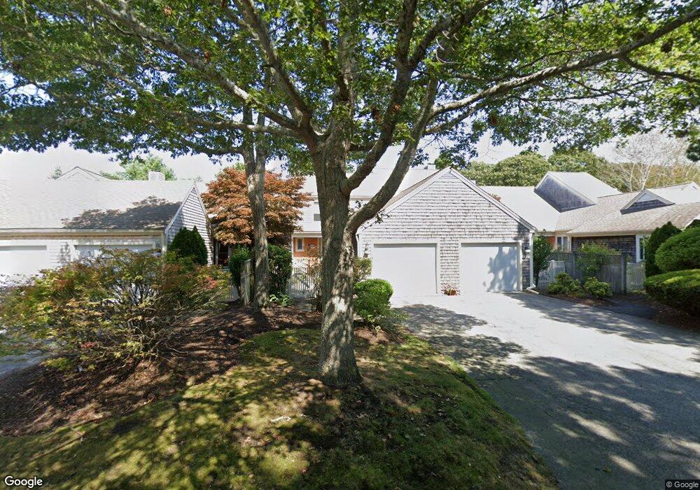
120 Kates Path Yarmouth Port, MA 02675
Yarmouth Port NeighborhoodEstimated Value: $566,000 - $750,000
2
Beds
4
Baths
1,440
Sq Ft
$437/Sq Ft
Est. Value
About This Home
This home is located at 120 Kates Path, Yarmouth Port, MA 02675 and is currently estimated at $628,804, approximately $436 per square foot. 120 Kates Path is a home located in Barnstable County with nearby schools including Dennis-Yarmouth Regional High School.
Ownership History
Date
Name
Owned For
Owner Type
Purchase Details
Closed on
Aug 15, 2014
Sold by
Chasin Arthur M
Bought by
Scotch Barbara
Current Estimated Value
Purchase Details
Closed on
Dec 14, 2012
Sold by
Dandison Ft and Dandison
Bought by
Chasin Arthur M
Purchase Details
Closed on
Feb 12, 2009
Sold by
Dandison Basil G and Dandison Judy J
Bought by
Dandison Ft and Dandison
Purchase Details
Closed on
Apr 17, 2003
Sold by
Collins Ruth B and Collins Charles S
Bought by
Dandison Basil G and Dandison Judy J
Create a Home Valuation Report for This Property
The Home Valuation Report is an in-depth analysis detailing your home's value as well as a comparison with similar homes in the area
Home Values in the Area
Average Home Value in this Area
Purchase History
| Date | Buyer | Sale Price | Title Company |
|---|---|---|---|
| Scotch Barbara | -- | -- | |
| Scotch Barbara | -- | -- | |
| Chasin Arthur M | $279,500 | -- | |
| Dandison Ft | -- | -- | |
| Dandison Ft | -- | -- | |
| Dandison Basil G | $369,250 | -- | |
| Dandison Basil G | $369,250 | -- |
Source: Public Records
Mortgage History
| Date | Status | Borrower | Loan Amount |
|---|---|---|---|
| Closed | Chasin Arthur M | $0 |
Source: Public Records
Tax History Compared to Growth
Tax History
| Year | Tax Paid | Tax Assessment Tax Assessment Total Assessment is a certain percentage of the fair market value that is determined by local assessors to be the total taxable value of land and additions on the property. | Land | Improvement |
|---|---|---|---|---|
| 2025 | $3,453 | $487,700 | $0 | $487,700 |
| 2024 | $3,203 | $434,000 | $0 | $434,000 |
| 2023 | $3,112 | $383,700 | $0 | $383,700 |
| 2022 | $3,554 | $387,200 | $0 | $387,200 |
| 2021 | $3,453 | $361,200 | $0 | $361,200 |
| 2020 | $3,483 | $348,300 | $0 | $348,300 |
| 2019 | $3,261 | $322,900 | $0 | $322,900 |
| 2018 | $3,061 | $297,500 | $0 | $297,500 |
| 2017 | $2,854 | $284,800 | $0 | $284,800 |
| 2016 | $2,716 | $272,100 | $0 | $272,100 |
| 2015 | $2,791 | $278,000 | $0 | $278,000 |
Source: Public Records
Map
Nearby Homes
- 228 Kates Path
- 50 John Hall Cartway
- 50 John Hall Cartway Unit 50
- 17 Kates Path Unit A
- 64 Kates Path
- 34 Kates Path
- 34 Kates Path Unit 34
- 7 Forest Gate Unit 7
- 30 W Woods
- 30 W Woods Cir Unit 30
- 10 Oak Glen
- 43 Canterbury Rd
- 25 Oak Glen Village Unit 25
- 25 Oak Glen
- 44 Stratford Ln
- 29 Boxwood Cir Unit 29
- 59 Massachusetts 6a Unit 19-2
- 59 Main St Unit 19-2
- 59 Route 6a Unit 29-4
- 6 Nimble Hill Dr
- 126 Kates Path
- 124 Kates Path
- 118 Kates Path
- 116 Kates Path
- 120 Kates Path Unit 120
- 126 Kates Path Unit E
- 120 Kates Path Unit B
- 118 Kates Path Unit A
- 126 Kate's Path Unit 126
- 126 Kates Village Path Unit E
- 114 Kates Path
- 112 Kates Path
- 110 Kates Path Unit D
- 61 Kates Path
- 59 Kates Path
- 57 Kates Path
- 55 Kates Path
- 61 Kates Path Unit A
- 59 Kate's Path Unit 59
- 57 Kates Path Unit 57