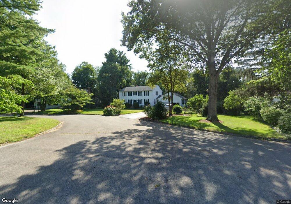
120 Kenney Ln Concord, MA 01742
Estimated Value: $1,184,705 - $1,212,000
4
Beds
3
Baths
2,034
Sq Ft
$590/Sq Ft
Est. Value
About This Home
This home is located at 120 Kenney Ln, Concord, MA 01742 and is currently estimated at $1,199,676, approximately $589 per square foot. 120 Kenney Ln is a home located in Middlesex County with nearby schools including Alcott Elementary School, Concord Middle School, and Concord Carlisle High School.
Ownership History
Date
Name
Owned For
Owner Type
Purchase Details
Closed on
May 16, 2018
Sold by
Archibald John W
Bought by
John W Archibald Ret
Current Estimated Value
Purchase Details
Closed on
Aug 1, 1973
Bought by
Archibald John W and Archibald Marjorie B
Create a Home Valuation Report for This Property
The Home Valuation Report is an in-depth analysis detailing your home's value as well as a comparison with similar homes in the area
Home Values in the Area
Average Home Value in this Area
Purchase History
| Date | Buyer | Sale Price | Title Company |
|---|---|---|---|
| John W Archibald Ret | -- | -- | |
| Archibald John W | -- | -- |
Source: Public Records
Mortgage History
| Date | Status | Borrower | Loan Amount |
|---|---|---|---|
| Previous Owner | Archibald John W | $70,000 | |
| Previous Owner | Archibald John W | $70,000 | |
| Previous Owner | Archibald John W | $60,000 | |
| Previous Owner | Archibald John W | $50,000 |
Source: Public Records
Tax History
| Year | Tax Paid | Tax Assessment Tax Assessment Total Assessment is a certain percentage of the fair market value that is determined by local assessors to be the total taxable value of land and additions on the property. | Land | Improvement |
|---|---|---|---|---|
| 2025 | $141 | $1,060,900 | $578,300 | $482,600 |
| 2024 | $13,424 | $1,022,400 | $539,800 | $482,600 |
| 2023 | $12,619 | $973,700 | $514,100 | $459,600 |
| 2022 | $11,182 | $757,600 | $373,900 | $383,700 |
| 2021 | $10,869 | $738,400 | $373,900 | $364,500 |
| 2020 | $9,814 | $689,700 | $327,100 | $362,600 |
| 2019 | $9,496 | $669,200 | $335,700 | $333,500 |
| 2018 | $9,517 | $666,000 | $337,000 | $329,000 |
| 2017 | $9,257 | $657,900 | $320,900 | $337,000 |
| 2016 | $8,608 | $618,400 | $288,000 | $330,400 |
| 2015 | $8,681 | $607,500 | $304,800 | $302,700 |
Source: Public Records
Map
Nearby Homes
- 612 Lexington Rd
- 7 Blue Heron Way
- 6 Parker Rd
- 96 Independence Rd
- 97 Hawthorne Ln
- 646 Cambridge Turnpike
- 50 Wayside Rd
- 6 Smith Hill Rd
- 212 Hawthorne Ln
- 5 South Commons Unit D
- 16 Old Cambridge Turnpike
- 25 Glenridge Dr
- 105 Lexington Rd
- 29 S Commons Unit D
- 9 Garland Rd
- 1 Glenridge Dr
- 181 Stow St
- 61B Walden St
- 186 Concord Rd
- 143 Everett St
- 106 Kenney Ln
- 105 Philip Farm Rd
- 99 Philip Farm Rd
- 94 Kenney Ln
- 134 Kenney Ln
- 134 Kenney Ln Unit 1
- 135 Kenney Ln
- 117 Kenney Ln
- 117 Kenney Ln
- 117 Kenney Ln Unit U
- 101 Kenney Ln
- 104 Philip Farm Rd
- 125 Kenney Ln
- 93 Kenney Ln
- 76 Kenney Ln
- 46 Kenney Ln
- 75 Philip Farm Rd
- 30 Kenney Ln
- 92 Philip Farm Rd
- 81 Kenney Ln
Your Personal Tour Guide
Ask me questions while you tour the home.