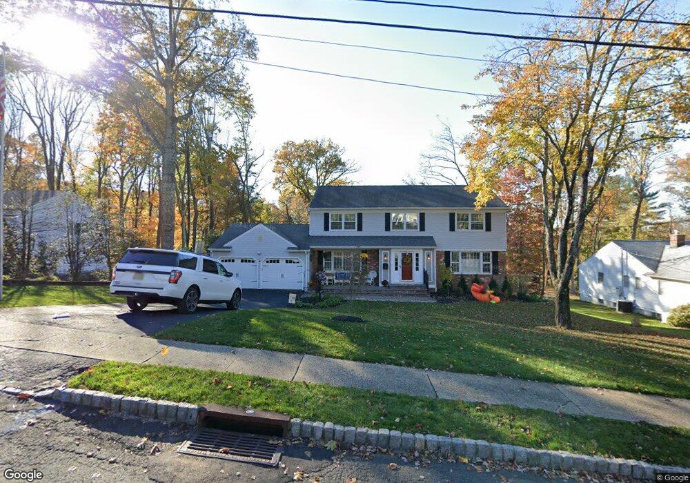
120 Kent Dr Berkeley Heights, NJ 07922
Estimated Value: $1,123,054 - $1,447,000
Studio
--
Bath
2,930
Sq Ft
$448/Sq Ft
Est. Value
About This Home
This home is located at 120 Kent Dr, Berkeley Heights, NJ 07922 and is currently estimated at $1,313,514, approximately $448 per square foot. 120 Kent Dr is a home located in Union County with nearby schools including Columbia Middle School, Governor Livingston High School, and Hudsonway Immersion School.
Ownership History
Date
Name
Owned For
Owner Type
Purchase Details
Closed on
Mar 4, 2016
Sold by
King Kenneth Scott and King Jeannine M
Bought by
Barter Wesley and Barter Tina L
Current Estimated Value
Home Financials for this Owner
Home Financials are based on the most recent Mortgage that was taken out on this home.
Original Mortgage
$630,000
Outstanding Balance
$492,969
Interest Rate
3.72%
Mortgage Type
New Conventional
Estimated Equity
$820,545
Purchase Details
Closed on
Jan 16, 2003
Sold by
Magovern Thomas
Bought by
King Kenneth and King Jeannine
Home Financials for this Owner
Home Financials are based on the most recent Mortgage that was taken out on this home.
Original Mortgage
$420,000
Interest Rate
5.98%
Create a Home Valuation Report for This Property
The Home Valuation Report is an in-depth analysis detailing your home's value as well as a comparison with similar homes in the area
Home Values in the Area
Average Home Value in this Area
Purchase History
| Date | Buyer | Sale Price | Title Company |
|---|---|---|---|
| Barter Wesley | $840,000 | -- | |
| King Kenneth | $640,000 | -- |
Source: Public Records
Mortgage History
| Date | Status | Borrower | Loan Amount |
|---|---|---|---|
| Open | Barter Wesley | $630,000 | |
| Previous Owner | King Kenneth | $420,000 |
Source: Public Records
Tax History
| Year | Tax Paid | Tax Assessment Tax Assessment Total Assessment is a certain percentage of the fair market value that is determined by local assessors to be the total taxable value of land and additions on the property. | Land | Improvement |
|---|---|---|---|---|
| 2025 | $17,915 | $417,900 | $186,000 | $231,900 |
| 2024 | $17,656 | $417,900 | $186,000 | $231,900 |
| 2023 | $17,656 | $417,900 | $186,000 | $231,900 |
| 2022 | $17,548 | $417,900 | $186,000 | $231,900 |
| 2021 | $17,452 | $417,900 | $186,000 | $231,900 |
| 2020 | $17,543 | $417,900 | $186,000 | $231,900 |
| 2019 | $17,456 | $417,900 | $186,000 | $231,900 |
| 2018 | $17,092 | $417,900 | $186,000 | $231,900 |
| 2017 | $16,774 | $415,200 | $186,000 | $229,200 |
| 2016 | $15,531 | $391,300 | $186,000 | $205,300 |
| 2015 | $15,642 | $396,300 | $186,000 | $210,300 |
| 2014 | $15,234 | $383,400 | $186,000 | $197,400 |
Source: Public Records
Map
Nearby Homes
- 91 Hillcrest Rd
- 155 Dogwood Ln
- 134 Rutgers Ave
- 165 Jasmine Unit 613
- 585 Plainfield Ave
- 127 Myrtle Rd
- 85 Appletree Row
- 50 Mountain Ave
- 204 Honeysuckle Ln
- 221 Myrtle Rd
- 102 Iris Ct
- 08-09 Castle Place
- 62 Forest Ave
- 19 Sunrise Dr Unit 3C
- 26 Sunrise Dr
- 28 Sunrise Dr
- 317 Plainfield Ave
- 3 Upper Warren Way
- 264 Ridge Rd
- 46 Coolidge Dr
Your Personal Tour Guide
Ask me questions while you tour the home.