120 Maple Grove Dr Butler, PA 16001
Butler NeighborhoodEstimated Value: $416,000 - $492,000
4
Beds
3
Baths
1,526
Sq Ft
$305/Sq Ft
Est. Value
About This Home
This home is located at 120 Maple Grove Dr, Butler, PA 16001 and is currently estimated at $465,079, approximately $304 per square foot. 120 Maple Grove Dr is a home located in Butler County with nearby schools including Butler Intermediate High School, Butler Middle School, and First Baptist Christian School.
Ownership History
Date
Name
Owned For
Owner Type
Purchase Details
Closed on
May 2, 2022
Sold by
Brandt Gregory P
Bought by
Brandt Gregory P and Brandt Alaina Beth
Current Estimated Value
Purchase Details
Closed on
Sep 27, 2010
Sold by
Platt Christopher
Bought by
Brandt Gregory P
Home Financials for this Owner
Home Financials are based on the most recent Mortgage that was taken out on this home.
Original Mortgage
$200,000
Interest Rate
4.44%
Mortgage Type
New Conventional
Create a Home Valuation Report for This Property
The Home Valuation Report is an in-depth analysis detailing your home's value as well as a comparison with similar homes in the area
Home Values in the Area
Average Home Value in this Area
Purchase History
| Date | Buyer | Sale Price | Title Company |
|---|---|---|---|
| Brandt Gregory P | -- | Bench John J | |
| Brandt Gregory P | $250,000 | -- |
Source: Public Records
Mortgage History
| Date | Status | Borrower | Loan Amount |
|---|---|---|---|
| Previous Owner | Brandt Gregory P | $200,000 |
Source: Public Records
Tax History Compared to Growth
Tax History
| Year | Tax Paid | Tax Assessment Tax Assessment Total Assessment is a certain percentage of the fair market value that is determined by local assessors to be the total taxable value of land and additions on the property. | Land | Improvement |
|---|---|---|---|---|
| 2025 | $4,652 | $31,320 | $4,150 | $27,170 |
| 2024 | $4,568 | $31,320 | $4,150 | $27,170 |
| 2023 | $4,476 | $31,320 | $4,150 | $27,170 |
| 2022 | $4,476 | $31,320 | $4,150 | $27,170 |
| 2021 | $4,476 | $29,170 | $0 | $0 |
| 2020 | $4,169 | $29,170 | $4,150 | $25,020 |
| 2019 | $4,080 | $29,170 | $4,150 | $25,020 |
| 2018 | $4,080 | $29,170 | $4,150 | $25,020 |
| 2017 | $3,882 | $28,400 | $4,150 | $24,250 |
| 2016 | $1,220 | $28,400 | $4,150 | $24,250 |
| 2015 | $576 | $28,400 | $4,150 | $24,250 |
| 2014 | $576 | $28,400 | $4,150 | $24,250 |
Source: Public Records
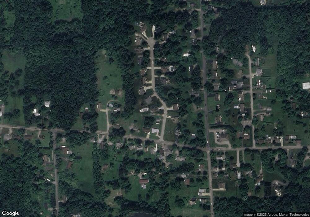
Map
Nearby Homes
- 397 Evans City Rd
- 104 N Eberhart Rd
- 111 N Eberhart Rd
- 594 Whitestown Rd
- 105 Lawrence Ave
- 105 Reich Ave
- 219 Meridian Rd
- 100 Marion Dr
- 275 S Duffy Rd
- 129 Whitestown Village Unit D
- 250 N Boundary St
- 315 Garden Ave
- 101 Jerome Dr
- 128 Jerome Dr
- 110 Dominic Dr
- 4125 Loring St
- 329 S Home Ave
- 251 Evans City Rd
- 206 Stoneridge Blvd
- REGENT Plan at Autumn Woods
- 122 Maple Grove Dr
- 512 Whitestown Rd
- 508 Whitestown Rd
- 121 Maple Grove Dr
- 524 Whitestown Rd
- 124 Maple Grove Dr
- 119 Maple Grove Dr
- 126 Maple Grove Dr
- 504 Whitestown Rd
- 125 Maple Grove Dr
- 528 Whitestown Rd
- 244 S Eberhart Rd
- 128 Maple Grove Dr
- 127 Maple Grove Dr
- 507 Whitestown Rd
- 515 Whitestown Rd
- 517 Whitestown Rd
- 240 S Eberhart Rd
- 511 Whitestown Rd
- 525 Whitestown Rd