120 Maple Ridge Farm Ln Hot Springs, VA 24445
Estimated Value: $1,306,000 - $1,905,380
6
Beds
6
Baths
8,560
Sq Ft
$188/Sq Ft
Est. Value
About This Home
This home is located at 120 Maple Ridge Farm Ln, Hot Springs, VA 24445 and is currently estimated at $1,605,690, approximately $187 per square foot. 120 Maple Ridge Farm Ln is a home located in Bath County with nearby schools including Bath County High School.
Ownership History
Date
Name
Owned For
Owner Type
Purchase Details
Closed on
Nov 23, 2016
Sold by
Day F B Webster
Bought by
Premier Bank Inc
Current Estimated Value
Purchase Details
Closed on
Jan 11, 2005
Sold by
White Family Llc
Bought by
Adams Charles E and Adams Lauren C
Home Financials for this Owner
Home Financials are based on the most recent Mortgage that was taken out on this home.
Original Mortgage
$999,999
Interest Rate
5.87%
Mortgage Type
Adjustable Rate Mortgage/ARM
Create a Home Valuation Report for This Property
The Home Valuation Report is an in-depth analysis detailing your home's value as well as a comparison with similar homes in the area
Home Values in the Area
Average Home Value in this Area
Purchase History
| Date | Buyer | Sale Price | Title Company |
|---|---|---|---|
| Premier Bank Inc | $1,150,000 | None Available | |
| Adams Charles E | -- | None Available | |
| White Family Llc | -- | None Available |
Source: Public Records
Mortgage History
| Date | Status | Borrower | Loan Amount |
|---|---|---|---|
| Previous Owner | White Family Llc | $999,999 |
Source: Public Records
Tax History Compared to Growth
Tax History
| Year | Tax Paid | Tax Assessment Tax Assessment Total Assessment is a certain percentage of the fair market value that is determined by local assessors to be the total taxable value of land and additions on the property. | Land | Improvement |
|---|---|---|---|---|
| 2024 | $8,444 | $1,407,400 | $250,600 | $1,156,800 |
| 2023 | $8,444 | $1,407,400 | $250,600 | $1,156,800 |
| 2022 | $7,741 | $1,407,400 | $250,600 | $1,156,800 |
| 2021 | $8,958 | $1,628,700 | $296,100 | $1,332,600 |
| 2020 | $8,958 | $1,628,700 | $296,100 | $1,332,600 |
| 2019 | $8,144 | $1,628,700 | $296,100 | $1,332,600 |
| 2018 | $8,144 | $1,628,700 | $296,100 | $1,332,600 |
| 2017 | $8,144 | $1,628,700 | $296,100 | $1,332,600 |
| 2016 | -- | $1,458,100 | $296,100 | $1,162,000 |
| 2015 | -- | $0 | $0 | $0 |
| 2014 | -- | $0 | $0 | $0 |
| 2012 | -- | $0 | $0 | $0 |
Source: Public Records
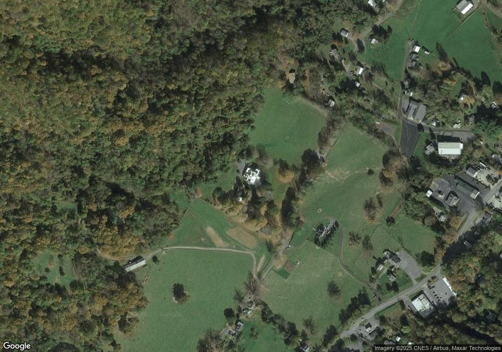
Map
Nearby Homes
- 49 Kingstown Ln
- 21 Shepherd's Trail
- SM# 19 Shepherd's Trail
- 1068 Sheep Meadow Rd
- SM #60 Quarry Hill Dr
- 47 Quarry Hill Dr
- 2286 Sam Snead Hwy
- SMLot # 43 Falconry Ridge
- 309 Thomastown Rd
- 604 Delafield Rd
- DR Lot #29 Delafield Rd
- 15 Delafield Rd
- 7420 Sam Snead Hwy Unit 220
- 0 Routier Hill Rd
- 356 Routier Hill Rd
- DR #55 N Forest Trail
- DR Lot #60 N Forest Trail
- 6026 Sam Snead Hwy
- 12509 Sam Snead Hwy
- 11 Bee Town Rd
- 120 Maple Ridge Ln
- 120 Maple Ridge Farm Rd
- 35 Maple Ridge Farm Ln
- 3945 Dunns Gap Rd
- 3836 Dunns Gap Rd
- 3760 Dunns Gap Rd
- 159 Fairview Ln
- 4033 Dunns Gap Rd
- 3733 Dunns Gap Rd
- 3724 Dunns Gap Rd
- 3719 Dunns Gap Rd
- 4055 Dunns Gap Rd
- 9119 Sam Snead Hwy
- 3697 Dunns Gap Rd
- 107 Fairview Ln
- 8977 Sam Snead Hwy
- 188 Fairview Ln
- 3681 Dunns Gap Rd
- 9181 Sam Snead Hwy
- 114 Fairview Ln