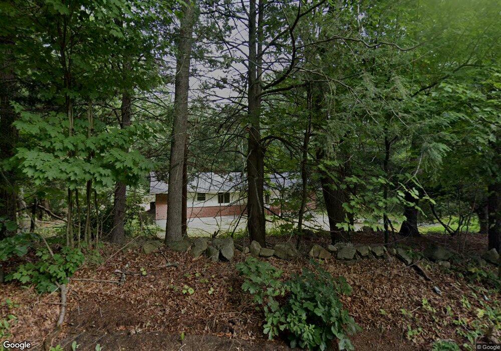
120 Maple St Unit X Sherborn, MA 01770
Estimated Value: $1,067,000 - $1,261,786
4
Beds
3
Baths
3,800
Sq Ft
$306/Sq Ft
Est. Value
About This Home
This home is located at 120 Maple St Unit X, Sherborn, MA 01770 and is currently estimated at $1,163,947, approximately $306 per square foot. 120 Maple St Unit X is a home located in Middlesex County with nearby schools including Pine Hill Elementary School, Dover-Sherborn Regional Middle School, and Dover-Sherborn Regional High School.
Ownership History
Date
Name
Owned For
Owner Type
Purchase Details
Closed on
Feb 28, 2018
Sold by
Kamenetsky Alex and Kamenetsky Irina
Bought by
Chen Xiao and Wei Linye
Current Estimated Value
Home Financials for this Owner
Home Financials are based on the most recent Mortgage that was taken out on this home.
Original Mortgage
$576,000
Outstanding Balance
$489,546
Interest Rate
4.04%
Mortgage Type
New Conventional
Estimated Equity
$674,401
Purchase Details
Closed on
Oct 14, 2005
Sold by
Est Anderson Juris D and Anderson Paul D
Bought by
Kamenetsky Alex and Kamenetsky Irina
Home Financials for this Owner
Home Financials are based on the most recent Mortgage that was taken out on this home.
Original Mortgage
$440,000
Interest Rate
5.78%
Mortgage Type
Purchase Money Mortgage
Purchase Details
Closed on
Feb 25, 2004
Sold by
Anderson Juris Durejs and Anderson Skaidrite Durej
Bought by
Anderson Juris Durejs
Create a Home Valuation Report for This Property
The Home Valuation Report is an in-depth analysis detailing your home's value as well as a comparison with similar homes in the area
Home Values in the Area
Average Home Value in this Area
Purchase History
| Date | Buyer | Sale Price | Title Company |
|---|---|---|---|
| Chen Xiao | $640,000 | -- | |
| Kamenetsky Alex | $550,000 | -- | |
| Anderson Juris Durejs | -- | -- |
Source: Public Records
Mortgage History
| Date | Status | Borrower | Loan Amount |
|---|---|---|---|
| Open | Chen Xiao | $576,000 | |
| Previous Owner | Kamenetsky Alex | $440,000 |
Source: Public Records
Tax History Compared to Growth
Tax History
| Year | Tax Paid | Tax Assessment Tax Assessment Total Assessment is a certain percentage of the fair market value that is determined by local assessors to be the total taxable value of land and additions on the property. | Land | Improvement |
|---|---|---|---|---|
| 2025 | $15,285 | $921,900 | $443,700 | $478,200 |
| 2024 | $14,975 | $883,500 | $345,800 | $537,700 |
| 2023 | $14,413 | $800,300 | $345,800 | $454,500 |
| 2022 | $13,743 | $722,200 | $335,500 | $386,700 |
| 2021 | $13,360 | $680,600 | $335,500 | $345,100 |
| 2020 | $12,840 | $659,800 | $335,500 | $324,300 |
| 2019 | $12,129 | $618,200 | $335,500 | $282,700 |
| 2018 | $11,327 | $586,900 | $335,500 | $251,400 |
| 2017 | $11,374 | $555,900 | $335,500 | $220,400 |
| 2016 | $11,011 | $535,300 | $314,900 | $220,400 |
| 2015 | $10,733 | $528,200 | $305,600 | $222,600 |
| 2014 | $9,633 | $473,600 | $294,200 | $179,400 |
Source: Public Records
Map
Nearby Homes
- 18 Wildwood Dr
- 61 Old Orchard Rd
- 4 Green Ln
- 2 Surrey Ln
- 6 Brook St
- 7 Fawn Rd
- 151 Mohawk Path
- 14 Sewall Brook Ln
- 1 Adams Rd
- 2 Adams Rd Unit 2
- 9 Adams Rd
- 65 Farm Road Lot 6
- 32 Lake St
- 105 N Main St
- 20 Nason Hill Rd
- 306 Trailside Way
- 131 Jennings Rd
- 67 Spyglass Hill Dr
- 84 E Bluff Rd
- 63 Trailside Way Unit 63