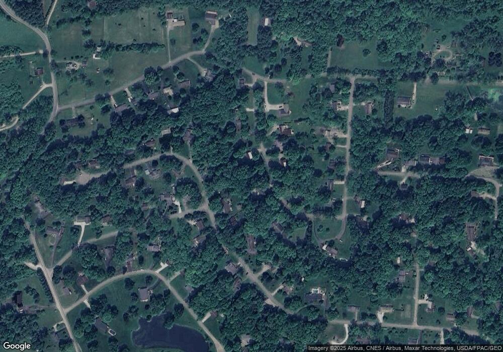
120 Margery Dr NE Newark, OH 43055
Madison NeighborhoodEstimated Value: $28,294 - $260,000
--
Bed
--
Bath
--
Sq Ft
0.45
Acres
About This Home
This home is located at 120 Margery Dr NE, Newark, OH 43055 and is currently estimated at $110,574. 120 Margery Dr NE is a home located in Licking County with nearby schools including Licking Valley Elementary School, Licking Valley Middle School, and Licking Valley High School.
Ownership History
Date
Name
Owned For
Owner Type
Purchase Details
Closed on
Sep 20, 2024
Sold by
Summit Building & Roofing Company Llc
Bought by
Humphrey Elizabeth
Current Estimated Value
Purchase Details
Closed on
Oct 12, 2018
Sold by
Allen Richard and Allen Tina
Bought by
Summit Building And Roofing Company
Purchase Details
Closed on
Aug 3, 2013
Sold by
Devary Steve and Devary Robin
Bought by
Allen Richard
Purchase Details
Closed on
Nov 3, 1999
Sold by
Devary Danny
Bought by
Devary Steve
Purchase Details
Closed on
Sep 6, 1994
Sold by
Kidd Charles R
Bought by
Foltz Nathan
Create a Home Valuation Report for This Property
The Home Valuation Report is an in-depth analysis detailing your home's value as well as a comparison with similar homes in the area
Home Values in the Area
Average Home Value in this Area
Purchase History
| Date | Buyer | Sale Price | Title Company |
|---|---|---|---|
| Humphrey Elizabeth | $27,200 | First American Title | |
| Summit Building And Roofing Company | $10,000 | None Available | |
| Allen Richard | $13,400 | None Available | |
| Devary Steve | $10,000 | -- | |
| Foltz Nathan | $2,000 | -- |
Source: Public Records
Tax History Compared to Growth
Tax History
| Year | Tax Paid | Tax Assessment Tax Assessment Total Assessment is a certain percentage of the fair market value that is determined by local assessors to be the total taxable value of land and additions on the property. | Land | Improvement |
|---|---|---|---|---|
| 2024 | $461 | $12,430 | $12,430 | $0 |
| 2023 | $741 | $12,430 | $12,430 | $0 |
| 2022 | $373 | $8,680 | $8,680 | $0 |
| 2021 | $381 | $8,680 | $8,680 | $0 |
| 2020 | $381 | $8,680 | $8,680 | $0 |
| 2019 | $267 | $6,200 | $6,200 | $0 |
| 2018 | $270 | $0 | $0 | $0 |
| 2017 | $239 | $0 | $0 | $0 |
| 2016 | $205 | $0 | $0 | $0 |
| 2015 | $206 | $0 | $0 | $0 |
| 2014 | $278 | $0 | $0 | $0 |
| 2013 | $211 | $0 | $0 | $0 |
Source: Public Records
Map
Nearby Homes
- 394 Brentwood Dr NE
- 400 Brentwood Dr NE
- 0 Swans Rd NE
- 9324 Butler Rd NE
- 985 Garfield Ave
- 934 Garfield Ave
- 1791 Staddens Bridge Rd SE
- 87 Liberty Ave
- 952 Emerson St
- 506 Lexington Ave
- 483 Allston Ave
- 554 Garfield Ave
- 688 Russell Ave
- 491 Garfield Ave
- 424 Ridge Ave
- 240 N Wing St
- 137 Oakland Blvd NE
- 2259 Montgomery Rd NE
- 0 Stewart Rd NE
- 274 Boyleston Ave
- 120 Margery Dr NE Unit Lot 97
- 100 Margery Dr NE
- 75 Margery Dr
- 100 Margery Dr
- 0 Margery Dr Unit L-97 2134849
- 0 Margery Dr Unit 2837027
- 75 Margery Dr NE
- 93 Margery Dr
- 84 Margery Dr
- 138 Margery Dr NE
- 138 Margery Dr
- 57 Margery Dr
- 62 Margery Dr
- 10440 Hazel Dell Rd
- 362 Brentwood Dr
- 143 Margery Dr
- 143 Margery Dr NE
- 342 Brentwood Dr
- 72 Brentview Dr
- 92 Brentview Dr
