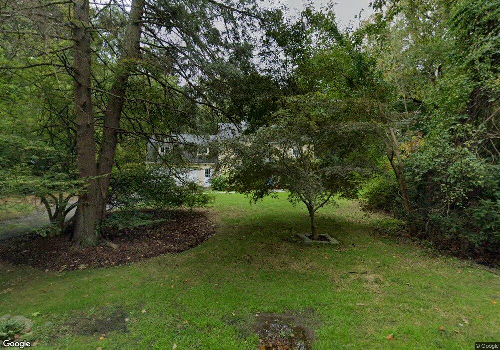
120 Maywood Rd Norwalk, CT 06850
West Norwalk NeighborhoodEstimated Value: $998,000 - $1,686,000
4
Beds
4
Baths
2,496
Sq Ft
$496/Sq Ft
Est. Value
About This Home
This home is located at 120 Maywood Rd, Norwalk, CT 06850 and is currently estimated at $1,236,889, approximately $495 per square foot. 120 Maywood Rd is a home located in Fairfield County with nearby schools including Fox Run Elementary School, Ponus Ridge Middle School, and Brien Mcmahon High School.
Ownership History
Date
Name
Owned For
Owner Type
Purchase Details
Closed on
Oct 2, 1998
Sold by
Ellison Christine and Ellison James
Bought by
Moran William M and Moran Deborah E
Current Estimated Value
Purchase Details
Closed on
Oct 16, 1996
Sold by
Underwood Edward L and Underwood Toni F
Bought by
Ellison James and Ellison Christine
Purchase Details
Closed on
May 10, 1995
Sold by
Buie William E and Buie Renee
Bought by
Underwood Edward and Underwood Toni
Purchase Details
Closed on
Jul 27, 1992
Sold by
Walkovik Donald
Bought by
Buie William and Buie Renee
Create a Home Valuation Report for This Property
The Home Valuation Report is an in-depth analysis detailing your home's value as well as a comparison with similar homes in the area
Home Values in the Area
Average Home Value in this Area
Purchase History
| Date | Buyer | Sale Price | Title Company |
|---|---|---|---|
| Moran William M | $525,000 | -- | |
| Moran William M | $525,000 | -- | |
| Ellison James | $475,000 | -- | |
| Ellison James | $475,000 | -- | |
| Underwood Edward | $465,000 | -- | |
| Underwood Edward | $465,000 | -- | |
| Buie William | $400,000 | -- | |
| Buie William | $400,000 | -- |
Source: Public Records
Mortgage History
| Date | Status | Borrower | Loan Amount |
|---|---|---|---|
| Open | Buie William | $896,077 | |
| Closed | Buie William | $800,000 |
Source: Public Records
Tax History Compared to Growth
Tax History
| Year | Tax Paid | Tax Assessment Tax Assessment Total Assessment is a certain percentage of the fair market value that is determined by local assessors to be the total taxable value of land and additions on the property. | Land | Improvement |
|---|---|---|---|---|
| 2025 | $14,007 | $590,020 | $257,070 | $332,950 |
| 2024 | $13,792 | $590,020 | $257,070 | $332,950 |
| 2023 | $13,238 | $530,260 | $230,680 | $299,580 |
| 2022 | $13,031 | $530,260 | $230,680 | $299,580 |
| 2021 | $11,088 | $530,260 | $230,680 | $299,580 |
| 2020 | $12,517 | $530,260 | $230,680 | $299,580 |
| 2019 | $12,089 | $530,260 | $230,680 | $299,580 |
| 2018 | $12,743 | $491,430 | $262,870 | $228,560 |
| 2017 | $12,298 | $491,430 | $262,870 | $228,560 |
| 2016 | $12,502 | $491,430 | $262,870 | $228,560 |
| 2015 | $11,229 | $491,430 | $262,870 | $228,560 |
| 2014 | $12,305 | $491,430 | $262,870 | $228,560 |
Source: Public Records
Map
Nearby Homes
- 7 Morehouse Ln
- 175 W Norwalk Rd
- 7 Tommys Ln
- 20 Marianne Rd
- 97 Richards Ave Unit B10
- 97 Richards Ave Unit E12
- 29 Priscilla Rd
- 105 Richards Ave Unit 2305
- 201 W Norwalk Rd
- 5 Betmarlea Rd
- 6 Orlando Rd
- 10 Ledgebrook Dr Unit 1
- 146 Gillies Ln Unit 146
- 2 Fox Run Rd
- 13 Joemar Rd
- 39 Chatham Dr
- 469 Brookside Rd
- 5 Wakeman Rd
- 29 Nash Place
- 1 Horizon Dr Unit 2
- 2431/2 W Norwalk Rd
- 1981/2 W Norwalk Rd
- 146 W Norwalk Rd
- 145 W Norwalk Rd
- 143 W Norwalk Rd
- 138 W Norwalk Rd
- 148 W Norwalk Rd
- 119 Maywood Rd
- 152 W Norwalk Rd
- 150 W Norwalk Rd
- 150 W Norwalk Rd
- 100 Maywood Rd
- 144 W Norwalk Rd
- 141 W W Norwalk Rd
- 106 Maywood Rd
- 98 Maywood Rd
- 161 W Norwalk Rd
- 2 Anchor Ln
- 130 W Norwalk Rd
- 132 W Norwalk Rd