120 Mccumber Ln Florence, CO 81226
Estimated Value: $288,000 - $469,000
3
Beds
1
Bath
1,226
Sq Ft
$332/Sq Ft
Est. Value
About This Home
This home is located at 120 Mccumber Ln, Florence, CO 81226 and is currently estimated at $406,655, approximately $331 per square foot. 120 Mccumber Ln is a home located in Fremont County with nearby schools including Fremont Elementary School, Florence High School, and Florence Christian School.
Ownership History
Date
Name
Owned For
Owner Type
Purchase Details
Closed on
Feb 14, 2022
Sold by
Kristofer Rubio
Bought by
Micke Jamison
Current Estimated Value
Home Financials for this Owner
Home Financials are based on the most recent Mortgage that was taken out on this home.
Original Mortgage
$282,914
Outstanding Balance
$265,219
Interest Rate
3.56%
Mortgage Type
New Conventional
Estimated Equity
$141,436
Purchase Details
Closed on
Aug 27, 2021
Sold by
Mckissack Roger
Bought by
Rubio Kristofer
Home Financials for this Owner
Home Financials are based on the most recent Mortgage that was taken out on this home.
Original Mortgage
$143,327
Interest Rate
2.8%
Mortgage Type
New Conventional
Purchase Details
Closed on
Sep 10, 2018
Sold by
Foulk Corine D and Foulk Michael D
Bought by
Mckissack Roger
Home Financials for this Owner
Home Financials are based on the most recent Mortgage that was taken out on this home.
Original Mortgage
$143,327
Interest Rate
4.5%
Mortgage Type
Stand Alone Refi Refinance Of Original Loan
Purchase Details
Closed on
Dec 18, 2013
Sold by
Foulk Michael D
Bought by
Foulk Michael D and Foulk Corine D
Purchase Details
Closed on
Apr 21, 2009
Sold by
Foulk Michael D and Foulk Corine D
Bought by
Foulk Michael D
Home Financials for this Owner
Home Financials are based on the most recent Mortgage that was taken out on this home.
Original Mortgage
$139,804
Interest Rate
5.14%
Mortgage Type
FHA
Purchase Details
Closed on
Aug 15, 2008
Sold by
Foulk Michael D
Bought by
Foulk Michael D and Foulk Corine D
Home Financials for this Owner
Home Financials are based on the most recent Mortgage that was taken out on this home.
Original Mortgage
$137,738
Interest Rate
6.42%
Mortgage Type
FHA
Purchase Details
Closed on
Jun 22, 2005
Sold by
Wilson Kenneth R and Wilson Lois E
Bought by
Thompson Joyce C and Porter Eldon L
Home Financials for this Owner
Home Financials are based on the most recent Mortgage that was taken out on this home.
Original Mortgage
$107,910
Interest Rate
6.25%
Mortgage Type
Adjustable Rate Mortgage/ARM
Create a Home Valuation Report for This Property
The Home Valuation Report is an in-depth analysis detailing your home's value as well as a comparison with similar homes in the area
Home Values in the Area
Average Home Value in this Area
Purchase History
| Date | Buyer | Sale Price | Title Company |
|---|---|---|---|
| Micke Jamison | $430,000 | None Listed On Document | |
| Rubio Kristofer | $295,000 | Unified Title Company | |
| Mckissack Roger | -- | None Available | |
| Foulk Michael D | -- | None Available | |
| Foulk Michael D | -- | Springs Title | |
| Foulk Michael D | -- | Stewart Title | |
| Foulk Michael D | $139,900 | Stewart Title | |
| Thompson Joyce C | $119,900 | None Available |
Source: Public Records
Mortgage History
| Date | Status | Borrower | Loan Amount |
|---|---|---|---|
| Open | Micke Jamison | $282,914 | |
| Previous Owner | Mckissack Roger | $143,327 | |
| Previous Owner | Rubio Kristofer | $250,000 | |
| Previous Owner | Winklen Rodney J | $143,327 | |
| Previous Owner | Foulk Michael D | $139,804 | |
| Previous Owner | Foulk Michael D | $137,738 | |
| Previous Owner | Thompson Joyce C | $116,725 | |
| Previous Owner | Thompson Joyce C | $107,910 |
Source: Public Records
Tax History Compared to Growth
Tax History
| Year | Tax Paid | Tax Assessment Tax Assessment Total Assessment is a certain percentage of the fair market value that is determined by local assessors to be the total taxable value of land and additions on the property. | Land | Improvement |
|---|---|---|---|---|
| 2024 | $1,229 | $23,477 | $0 | $0 |
| 2023 | $1,229 | $19,792 | $0 | $0 |
| 2022 | $1,350 | $21,945 | $0 | $0 |
| 2021 | $954 | $15,794 | $0 | $0 |
| 2020 | $657 | $13,175 | $0 | $0 |
| 2019 | $666 | $13,175 | $0 | $0 |
| 2018 | $562 | $11,269 | $0 | $0 |
| 2017 | $577 | $11,269 | $0 | $0 |
| 2016 | $397 | $7,840 | $0 | $0 |
| 2015 | $392 | $7,840 | $0 | $0 |
| 2012 | $430 | $7,612 | $2,658 | $4,954 |
Source: Public Records
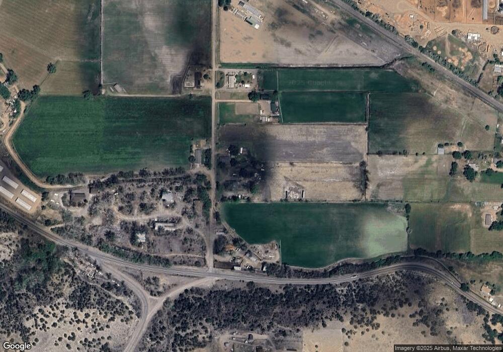
Map
Nearby Homes
- Lot 1 & B1 Cedar Ave
- 1825 Davis St
- 5 Cory Ln
- 350 Oak St
- The Juniper Plan at High Meadows
- The Harmony plan at High Meadows
- 197 High Meadows Dr
- 205 High Meadows Dr
- 10 Ridgeway Dr
- 1942 Pinion Ave
- 19 Wilmont Cir N
- 20 Wilmont Cir N
- 155 High Meadows Dr
- 3 Sawyer Ln
- 136 High Meadows Dr
- 111 Rocchio Dr
- 207 High Meadows Dr
- 184 High Meadows Dr
- 178 High Meadows Dr
- 163 High Meadows Dr
- 131 Mccumber Ln
- 100 Mccumber Ln
- 111 Mccumber Ln Unit 4
- 117 Mccumber Ln
- 111 Mccumber Ln
- 150 Mccumber Ln
- 154 Mccumber Ln
- 153 Mccumber Ln
- 5459 State Highway 115
- 5271 State Highway 115
- 5271 State Highway 115
- 5496 State Highway 115
- 160 Mccumber Ln
- 312 County Road 11a
- 310 County Road 11a Unit FRE
- 161 Mccumber Ln
- 300 County Road 11a
- 21469 Colorado 115
- 121 Brewster Ln
- 101 Brewster Ln