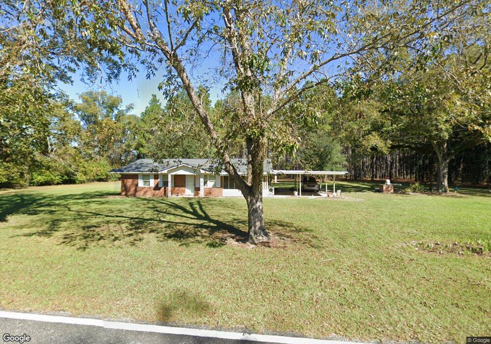
120 McLoon Rd Hazlehurst, GA 31539
Estimated Value: $129,000 - $269,000
2
Beds
1
Bath
1,134
Sq Ft
$168/Sq Ft
Est. Value
About This Home
This home is located at 120 McLoon Rd, Hazlehurst, GA 31539 and is currently estimated at $190,888, approximately $168 per square foot. 120 McLoon Rd is a home located in Jeff Davis County with nearby schools including Jeff Davis Primary School, Jeff Davis Elementary School, and Jeff Davis Middle School.
Ownership History
Date
Name
Owned For
Owner Type
Purchase Details
Closed on
Sep 29, 2023
Sold by
Reynolds Pamela Danice Harrell
Bought by
Harrell Linda Kay and Harrell Ronnie E
Current Estimated Value
Purchase Details
Closed on
Nov 14, 2003
Sold by
Harrell Catherine
Bought by
Harrell Catherine
Purchase Details
Closed on
Jul 27, 1992
Bought by
Harrell Catherine
Purchase Details
Closed on
Oct 5, 1989
Bought by
Carter Leona Mrs
Purchase Details
Closed on
Jan 1, 1954
Bought by
Carter Leona Mrs
Create a Home Valuation Report for This Property
The Home Valuation Report is an in-depth analysis detailing your home's value as well as a comparison with similar homes in the area
Home Values in the Area
Average Home Value in this Area
Purchase History
| Date | Buyer | Sale Price | Title Company |
|---|---|---|---|
| Harrell Linda Kay | -- | -- | |
| Harrell Catherine | -- | -- | |
| Harrell Catherine | -- | -- | |
| Carter Leona Mrs | -- | -- | |
| Carter Leona Mrs | -- | -- |
Source: Public Records
Tax History Compared to Growth
Tax History
| Year | Tax Paid | Tax Assessment Tax Assessment Total Assessment is a certain percentage of the fair market value that is determined by local assessors to be the total taxable value of land and additions on the property. | Land | Improvement |
|---|---|---|---|---|
| 2024 | $1,524 | $70,040 | $24,840 | $45,200 |
| 2023 | $1,051 | $56,602 | $31,405 | $25,197 |
| 2022 | $1,042 | $56,602 | $31,405 | $25,197 |
| 2021 | $1,033 | $56,602 | $31,405 | $25,197 |
| 2020 | $1,016 | $56,286 | $31,405 | $24,881 |
| 2019 | $1,008 | $56,286 | $31,405 | $24,881 |
| 2018 | $959 | $56,286 | $31,405 | $24,881 |
| 2017 | $829 | $52,620 | $31,405 | $21,215 |
| 2016 | $807 | $52,620 | $31,405 | $21,215 |
| 2015 | -- | $52,620 | $31,405 | $21,215 |
| 2014 | -- | $45,871 | $24,280 | $21,591 |
Source: Public Records
Map
Nearby Homes
- 116 McLoon Rd
- 147 McLoon Rd
- 179 McLoon Rd
- 1076 Broxton Hwy
- 1071 Broxton Hwy
- 1045 Broxton Hwy
- 1027 Broxton Hwy
- 1138 Broxton Hwy
- 218 McLoon Rd
- 233 McLoon Rd
- 1164 Broxton Hwy
- 104 Brewer Girtman Ln
- 104 Brewer Girtman Ln
- 1183 Broxton Hwy
- 296 McLoon Rd
- 276 McLoon Rd
- 120 John Colson Rd
- 312 Preston Long Rd
- 178 Walters Harrell Rd
- 306 McLoon Rd