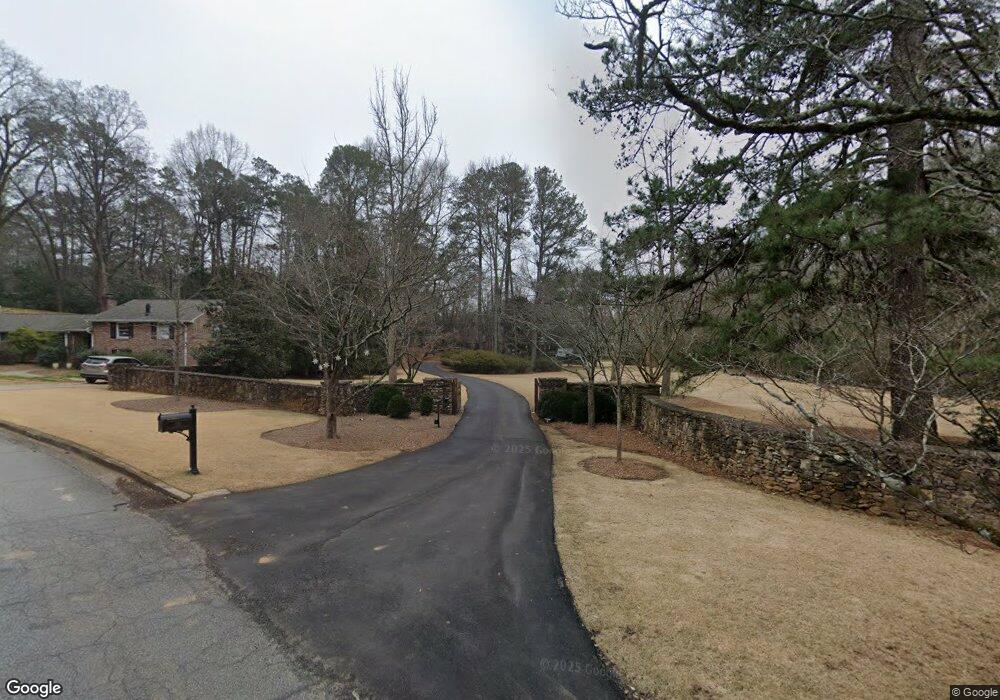
120 Meadowbrook Rd Athens, GA 30606
Five Points NeighborhoodEstimated Value: $1,648,000 - $2,701,004
--
Bed
1
Bath
4,284
Sq Ft
$506/Sq Ft
Est. Value
About This Home
This home is located at 120 Meadowbrook Rd, Athens, GA 30606 and is currently estimated at $2,169,001, approximately $506 per square foot. 120 Meadowbrook Rd is a home located in Clarke County with nearby schools including Bettye Henderson Holston Elementary School, Clarke Middle School, and Clarke Central High School.
Ownership History
Date
Name
Owned For
Owner Type
Purchase Details
Closed on
Mar 31, 2017
Sold by
Mundy William C
Bought by
Mundy William C Rev Trust
Current Estimated Value
Purchase Details
Closed on
Aug 17, 2009
Sold by
Mundy Laura Allen
Bought by
Mundy William Charles
Purchase Details
Closed on
Feb 15, 2008
Sold by
Birchmore Properties Lllp
Bought by
Mundy William Charles and Mundy Laura Allen
Home Financials for this Owner
Home Financials are based on the most recent Mortgage that was taken out on this home.
Original Mortgage
$750,000
Interest Rate
5.65%
Mortgage Type
New Conventional
Purchase Details
Closed on
May 6, 2002
Sold by
Birchmore W C
Bought by
Birchmore Properties Lllp
Purchase Details
Closed on
Mar 1, 1996
Sold by
Birchmore Mary Rowe
Bought by
Birchmore W C
Create a Home Valuation Report for This Property
The Home Valuation Report is an in-depth analysis detailing your home's value as well as a comparison with similar homes in the area
Home Values in the Area
Average Home Value in this Area
Purchase History
| Date | Buyer | Sale Price | Title Company |
|---|---|---|---|
| Mundy William C Rev Trust | -- | -- | |
| Mundy William Charles | -- | -- | |
| Mundy William Charles | $1,000,000 | -- | |
| Birchmore Properties Lllp | -- | -- | |
| Birchmore W C | -- | -- |
Source: Public Records
Mortgage History
| Date | Status | Borrower | Loan Amount |
|---|---|---|---|
| Previous Owner | Mundy William Charles | $750,000 |
Source: Public Records
Tax History Compared to Growth
Tax History
| Year | Tax Paid | Tax Assessment Tax Assessment Total Assessment is a certain percentage of the fair market value that is determined by local assessors to be the total taxable value of land and additions on the property. | Land | Improvement |
|---|---|---|---|---|
| 2025 | $33,959 | $1,093,683 | $282,744 | $810,939 |
| 2024 | $33,959 | $984,416 | $282,744 | $701,672 |
| 2023 | $30,763 | $886,923 | $282,744 | $604,179 |
| 2022 | $25,071 | $785,936 | $282,744 | $503,192 |
| 2021 | $20,557 | $609,992 | $282,744 | $327,248 |
| 2020 | $19,022 | $564,450 | $282,744 | $281,706 |
| 2019 | $18,928 | $557,512 | $282,744 | $274,768 |
| 2018 | $18,993 | $559,429 | $282,744 | $276,685 |
| 2017 | $18,995 | $559,499 | $282,744 | $276,755 |
| 2016 | $17,934 | $528,258 | $282,744 | $245,514 |
| 2015 | $16,734 | $492,164 | $251,328 | $240,836 |
| 2014 | $16,709 | $490,732 | $251,328 | $239,404 |
Source: Public Records
Map
Nearby Homes
- 590 Highland Ave
- 175 Tillman Ln
- 490 Mcwhorter Dr
- 589 W Lake Dr
- 169 Fortson Cir
- 224 Fortson Dr
- 206 Fortson Dr
- 164 Plum Nelly Rd
- 104 W Lake Ct
- 495 Woodlawn Ave
- 577 W Cloverhurst Ave
- 1055 Baxter St Unit 504
- 275 Westview Dr
- 155 Harold Dr
- 255 Pine Valley Dr
- 2019 S Lumpkin St
- 338 Springdale St
- 265 Springdale St
- 105 Magnolia Terrace
- 230 Meadowview Rd
- 730 Milledge Cir
- 435 Fortson Dr
- 435 Fortson Dr Unit n/a
- 220 Meadowview Rd
- 150 Meadowbrook Rd
- 465 Fortson Dr
- 210 Meadowview Rd
- 710 Milledge Cir
- 420 Fortson Dr
- 720 Milledge Circle Tract 2
- 440 Fortson Dr
- 720 Milledge Cir
- 853 Bobbin Mill Rd
- 170 Meadowview Rd
- 740 Milledge Cir
- 225 Meadowview Rd
- 215 Meadowview Rd
- 397 Fortson Dr
- 0 Meadowbrook Rd