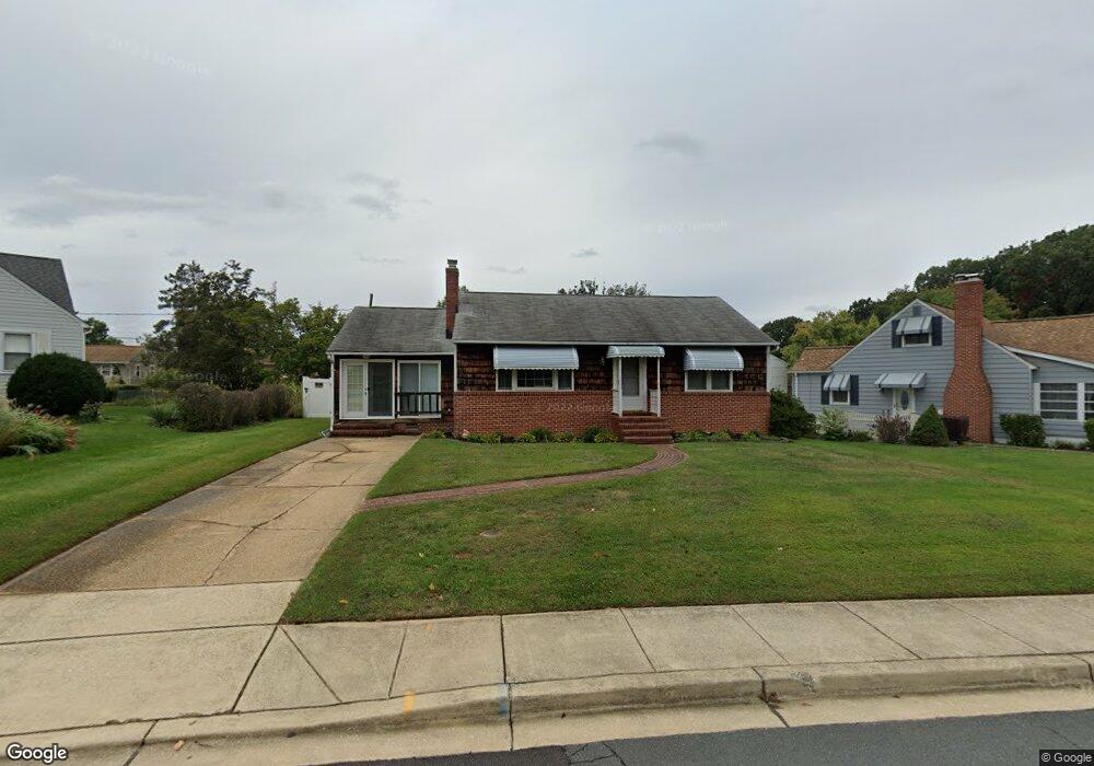
120 Michael Ave Linthicum Heights, MD 21090
Estimated Value: $365,588 - $428,000
Studio
1
Bath
1,008
Sq Ft
$396/Sq Ft
Est. Value
About This Home
This home is located at 120 Michael Ave, Linthicum Heights, MD 21090 and is currently estimated at $398,897, approximately $395 per square foot. 120 Michael Ave is a home located in Anne Arundel County with nearby schools including Linthicum Elementary School, Lindale Middle School, and North County High School.
Ownership History
Date
Name
Owned For
Owner Type
Purchase Details
Closed on
Aug 22, 2003
Sold by
Gindlesberger John
Bought by
Biggs Mary C
Current Estimated Value
Purchase Details
Closed on
Jun 29, 1992
Sold by
Pucciarella Joseph D
Bought by
Gindlesberger John
Home Financials for this Owner
Home Financials are based on the most recent Mortgage that was taken out on this home.
Original Mortgage
$119,700
Interest Rate
8.43%
Create a Home Valuation Report for This Property
The Home Valuation Report is an in-depth analysis detailing your home's value as well as a comparison with similar homes in the area
Home Values in the Area
Average Home Value in this Area
Purchase History
| Date | Buyer | Sale Price | Title Company |
|---|---|---|---|
| Biggs Mary C | $205,000 | -- | |
| Gindlesberger John | $133,000 | -- |
Source: Public Records
Mortgage History
| Date | Status | Borrower | Loan Amount |
|---|---|---|---|
| Previous Owner | Gindlesberger John | $119,700 | |
| Closed | Biggs Mary C | -- |
Source: Public Records
Tax History
| Year | Tax Paid | Tax Assessment Tax Assessment Total Assessment is a certain percentage of the fair market value that is determined by local assessors to be the total taxable value of land and additions on the property. | Land | Improvement |
|---|---|---|---|---|
| 2025 | $2,861 | $313,900 | $177,300 | $136,600 |
| 2024 | $2,861 | $299,667 | $0 | $0 |
| 2023 | $2,771 | $285,433 | $0 | $0 |
| 2022 | $2,580 | $271,200 | $157,300 | $113,900 |
| 2021 | $2,448 | $262,733 | $0 | $0 |
| 2020 | $2,448 | $254,267 | $0 | $0 |
| 2019 | $2,406 | $245,800 | $140,700 | $105,100 |
| 2018 | $2,305 | $243,733 | $0 | $0 |
| 2017 | $2,279 | $241,667 | $0 | $0 |
| 2016 | -- | $239,600 | $0 | $0 |
| 2015 | -- | $239,600 | $0 | $0 |
| 2014 | -- | $239,600 | $0 | $0 |
Source: Public Records
Map
Nearby Homes
- 409 Laclair Ave
- 105 Michael Ave
- 312 N Hammonds Ferry Rd
- 518 N Rd
- 322 Cheddington Rd
- 206 Cheddington Rd
- 526 Hawthorne Rd
- 520 Cleveland Rd
- 763 Hawthorne Rd
- 440 Cleveland Rd
- 100 Governors Gate Ln
- 536 Forest View Rd
- 533 Forest View Rd
- 102 Catalpa Rd
- 201 Hance Ave
- 209 Mountain Rd
- 612 Fairmount Rd
- 602 S Hammonds Ferry Rd
- 31 Governors Gate Ln
- 206 Mountain Rd
- 500 Laclair Ave
- 118 Michael Ave
- 502 Laclair Ave
- 403 Mary Ave
- 116 Michael Ave
- 117 Michael Ave
- 405 Mary Ave
- 406 Laclair Ave
- 401 Mary Ave
- 114 Michael Ave
- 503 Laclair Ave
- 115 Michael Ave
- 501 Laclair Ave
- 505 Laclair Ave
- 121 Patricia Ave
- 119 Patricia Ave
- 112 Michael Ave
- 417 Laclair Ave
- 123 Patricia Ave
- 507 Laclair Ave
Your Personal Tour Guide
Ask me questions while you tour the home.