120 Michael Dr Connellsville, PA 15425
Dunbar Township NeighborhoodEstimated Value: $405,000 - $432,000
4
Beds
3
Baths
1,064
Sq Ft
$397/Sq Ft
Est. Value
About This Home
This home is located at 120 Michael Dr, Connellsville, PA 15425 and is currently estimated at $422,772, approximately $397 per square foot. 120 Michael Dr is a home located in Fayette County with nearby schools including Connellsville Area Senior High School.
Ownership History
Date
Name
Owned For
Owner Type
Purchase Details
Closed on
Sep 28, 2010
Sold by
Irwin John E and Irwin Anita M
Bought by
Irwin John E and Irwin Anita M
Current Estimated Value
Home Financials for this Owner
Home Financials are based on the most recent Mortgage that was taken out on this home.
Original Mortgage
$207,000
Outstanding Balance
$70,727
Interest Rate
4.37%
Mortgage Type
New Conventional
Estimated Equity
$352,045
Create a Home Valuation Report for This Property
The Home Valuation Report is an in-depth analysis detailing your home's value as well as a comparison with similar homes in the area
Home Values in the Area
Average Home Value in this Area
Purchase History
| Date | Buyer | Sale Price | Title Company |
|---|---|---|---|
| Irwin John E | -- | None Available |
Source: Public Records
Mortgage History
| Date | Status | Borrower | Loan Amount |
|---|---|---|---|
| Open | Irwin John E | $207,000 |
Source: Public Records
Tax History Compared to Growth
Tax History
| Year | Tax Paid | Tax Assessment Tax Assessment Total Assessment is a certain percentage of the fair market value that is determined by local assessors to be the total taxable value of land and additions on the property. | Land | Improvement |
|---|---|---|---|---|
| 2025 | $2,353 | $99,800 | $12,655 | $87,145 |
| 2024 | $2,239 | $99,800 | $12,655 | $87,145 |
| 2023 | $4,309 | $99,800 | $12,655 | $87,145 |
| 2022 | $4,309 | $99,800 | $12,655 | $87,145 |
| 2021 | $4,309 | $99,800 | $12,655 | $87,145 |
| 2020 | $4,309 | $99,800 | $12,655 | $87,145 |
| 2019 | $4,060 | $99,800 | $12,655 | $87,145 |
| 2018 | $4,060 | $99,800 | $12,655 | $87,145 |
| 2017 | $4,060 | $99,800 | $12,655 | $87,145 |
| 2016 | -- | $99,800 | $12,655 | $87,145 |
| 2015 | -- | $99,800 | $12,655 | $87,145 |
| 2014 | -- | $199,600 | $25,310 | $174,290 |
Source: Public Records
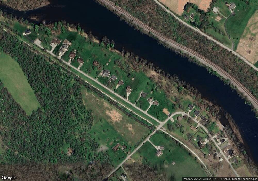
Map
Nearby Homes
- 304 Narrows Rd
- 86 Dark St
- 314 W Blake Ave
- 1114 N Jefferson St
- 2024 Lexington Dr
- Lot 9 Hickory Square Rd
- Lot 10 Hickory Square Rd
- Lot 8 Hickory Square Rd
- 205 E Georgia Ave
- 4030 Adelaide Hills
- 415 E Francis Ave
- 417 E Francis Ave
- 608 E Crawford Ave
- 0 Ridge Blvd
- 600 Dry Hill Rd
- 316 W Crawford Ave
- 114 Frisbee Ave
- 410/410 1/2 Stephens St
- 222 Dewitt Ave
- 120 Madison Ave
- 110 Michael Dr
- 130 Michael Dr
- 134 Michael Dr
- 108 Michael Dr
- 102 Michael Dr
- 136 Michael Dr
- 146 Michael Dr
- 1102 Martha Dr
- 2350 Ridge Blvd
- 1103 Martha Dr
- 150 Michael Dr
- 2355 Ridge Blvd
- 1105 Martha Dr
- 1106 Martha Dr
- 154 Michael Dr
- 1107 Martha Dr
- 2340 Ridge Blvd
- 2338 Ridge Blvd
- 158 Michael Dr
- 186 Broadford Rd