120 Monk St Lebanon, VA 24266
Estimated Value: $189,215 - $242,000
3
Beds
2
Baths
1,568
Sq Ft
$138/Sq Ft
Est. Value
About This Home
This home is located at 120 Monk St, Lebanon, VA 24266 and is currently estimated at $216,804, approximately $138 per square foot. 120 Monk St is a home located in Russell County with nearby schools including Lebanon Primary School, Belfast Elk Garden Elementary School, and Lebanon Elementary School.
Ownership History
Date
Name
Owned For
Owner Type
Purchase Details
Closed on
May 27, 2011
Sold by
Jessee Nellie R
Bought by
Deel Jimmy R and Deel Ruth Carolyn
Current Estimated Value
Create a Home Valuation Report for This Property
The Home Valuation Report is an in-depth analysis detailing your home's value as well as a comparison with similar homes in the area
Home Values in the Area
Average Home Value in this Area
Purchase History
| Date | Buyer | Sale Price | Title Company |
|---|---|---|---|
| Deel Jimmy R | $125,000 | None Available |
Source: Public Records
Tax History Compared to Growth
Tax History
| Year | Tax Paid | Tax Assessment Tax Assessment Total Assessment is a certain percentage of the fair market value that is determined by local assessors to be the total taxable value of land and additions on the property. | Land | Improvement |
|---|---|---|---|---|
| 2025 | $959 | $165,600 | $12,000 | $153,600 |
| 2024 | $728 | $115,600 | $12,000 | $103,600 |
| 2023 | $728 | $115,600 | $12,000 | $103,600 |
| 2022 | $728 | $115,600 | $12,000 | $103,600 |
| 2021 | $728 | $115,600 | $12,000 | $103,600 |
| 2020 | $728 | $115,600 | $12,000 | $103,600 |
| 2019 | $728 | $115,600 | $12,000 | $103,600 |
| 2018 | $697 | $110,700 | $12,000 | $98,700 |
| 2017 | $697 | $110,700 | $12,000 | $98,700 |
| 2016 | -- | $110,700 | $12,000 | $98,700 |
| 2015 | -- | $110,700 | $12,000 | $98,700 |
| 2012 | -- | $89,700 | $10,500 | $79,200 |
Source: Public Records
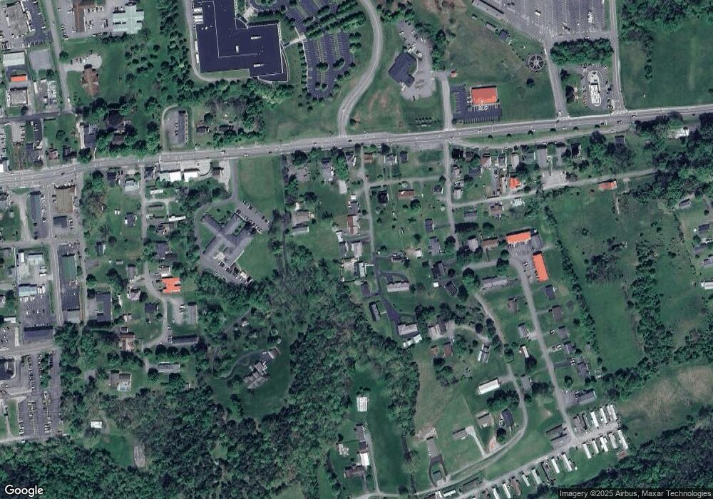
Map
Nearby Homes
- 256 Mays St
- 0 Coal Tipple Hollow
- TBD U S Highway 19
- Lot 17 Ridge Dr
- 135 Lively St
- TBD N Angle Ave
- 218 W Banner St
- 470 E Main St
- 49 Ketron Ave
- 140 Old Fincastle Rd
- 33 Lyons Ave
- 293 Old Fincastle Rd
- 21 Dodge St
- 1595 E Main St
- 1151 Stonebruise Rd
- 1095 Stonebruise Rd
- TBD Jones Dr
- 0 Lot 10a Unit 83812
- 129 Brumley Cir
- 258 Glade Hollow Dr