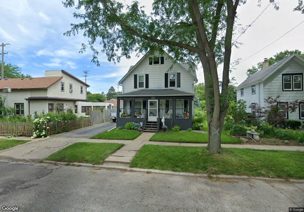
120 Monroe St Fort Atkinson, WI 53538
Estimated Value: $246,621 - $308,000
5
Beds
1
Bath
1,820
Sq Ft
$148/Sq Ft
Est. Value
About This Home
This home is located at 120 Monroe St, Fort Atkinson, WI 53538 and is currently estimated at $268,655, approximately $147 per square foot. 120 Monroe St is a home located in Jefferson County with nearby schools including Barrie Elementary School, Fort Atkinson Middle School, and Fort Atkinson High School.
Ownership History
Date
Name
Owned For
Owner Type
Purchase Details
Closed on
Jul 14, 2014
Sold by
Manogue Gary M and Manogue Pamela C
Bought by
Schuette Thomas
Current Estimated Value
Home Financials for this Owner
Home Financials are based on the most recent Mortgage that was taken out on this home.
Original Mortgage
$65,520
Interest Rate
4.12%
Mortgage Type
Purchase Money Mortgage
Create a Home Valuation Report for This Property
The Home Valuation Report is an in-depth analysis detailing your home's value as well as a comparison with similar homes in the area
Home Values in the Area
Average Home Value in this Area
Purchase History
| Date | Buyer | Sale Price | Title Company |
|---|---|---|---|
| Schuette Thomas | $81,900 | None Available |
Source: Public Records
Mortgage History
| Date | Status | Borrower | Loan Amount |
|---|---|---|---|
| Closed | Schuette Thomas | $65,520 |
Source: Public Records
Tax History Compared to Growth
Tax History
| Year | Tax Paid | Tax Assessment Tax Assessment Total Assessment is a certain percentage of the fair market value that is determined by local assessors to be the total taxable value of land and additions on the property. | Land | Improvement |
|---|---|---|---|---|
| 2024 | $3,235 | $174,300 | $24,500 | $149,800 |
| 2023 | $2,884 | $174,300 | $24,500 | $149,800 |
| 2022 | $3,072 | $121,700 | $17,000 | $104,700 |
| 2021 | $2,706 | $121,700 | $17,000 | $104,700 |
| 2020 | $2,675 | $121,700 | $17,000 | $104,700 |
| 2019 | $2,762 | $121,700 | $17,000 | $104,700 |
| 2018 | $2,644 | $121,700 | $17,000 | $104,700 |
| 2017 | $2,559 | $121,700 | $17,000 | $104,700 |
| 2016 | $2,763 | $125,900 | $12,600 | $113,300 |
| 2015 | $2,747 | $125,900 | $12,600 | $113,300 |
| 2014 | $2,653 | $125,900 | $12,600 | $113,300 |
| 2013 | $2,723 | $125,900 | $12,600 | $113,300 |
Source: Public Records
Map
Nearby Homes
- 125 Monroe St
- 336 Jones Ave
- 715 Madison Ave
- 234 S Main St
- 311 N Main St
- 42 Wilson Ave
- 1120 Van Buren St
- 916 Madison Ave
- 605 Nelson St
- 233 S Water St E
- 1220 Sherman Ave W
- 1222 Sherman Ave W Unit P
- 520 Edward St
- 609 Cloute St
- 214 Hickory St
- 426 Jefferson St
- 1233 Sherman Ave W
- 416 N 3rd St
- 845 Messmer St
- 702 Florence St
- 511 Sherman Ave W
- 116 Monroe St
- 509 Sherman Ave W
- 112 Monroe St
- 121 Monroe St
- 125 Robert St
- 119 Robert St
- 117 Monroe St
- 108 Monroe St
- 115 Robert St
- 109 Monroe St
- 512 Sherman Ave W
- 508 Sherman Ave W
- 109 Robert St
- 514 Van Buren St
- 600 Sherman Ave W
- 609 Sherman Ave W
- 107 Robert St
- 508 Van Buren St
- 203 Robert St