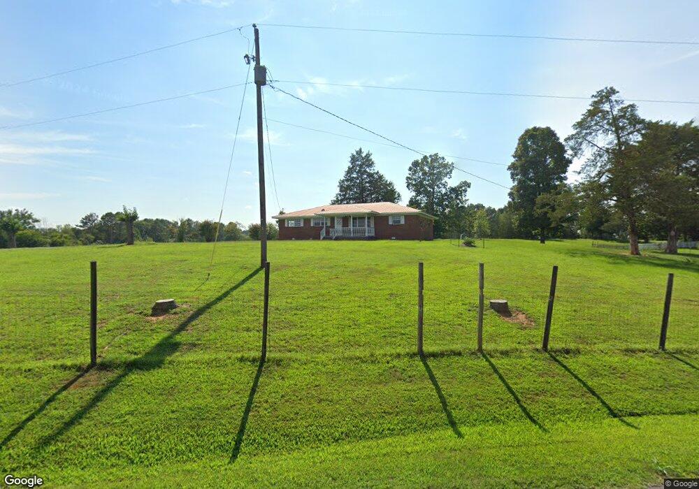
120 Montgomery Bridge Rd NE Ranger, GA 30734
Estimated Value: $194,000 - $402,000
3
Beds
2
Baths
1,568
Sq Ft
$169/Sq Ft
Est. Value
About This Home
This home is located at 120 Montgomery Bridge Rd NE, Ranger, GA 30734 and is currently estimated at $264,351, approximately $168 per square foot. 120 Montgomery Bridge Rd NE is a home located in Gordon County with nearby schools including Fairmount Elementary School, Red Bud Middle School, and Sonoraville High School.
Ownership History
Date
Name
Owned For
Owner Type
Purchase Details
Closed on
Jun 10, 2009
Sold by
Regions Bank
Bought by
Burrage Gloria Carol
Current Estimated Value
Purchase Details
Closed on
Mar 3, 2009
Sold by
Regions Bank
Bought by
Regions Bank
Purchase Details
Closed on
Feb 23, 1999
Bought by
Ralston Gary and Ralston Vivian
Purchase Details
Closed on
Jan 15, 1998
Bought by
Ralston W C
Purchase Details
Closed on
Jul 11, 1995
Bought by
Ralston Enterprises Inc
Create a Home Valuation Report for This Property
The Home Valuation Report is an in-depth analysis detailing your home's value as well as a comparison with similar homes in the area
Home Values in the Area
Average Home Value in this Area
Purchase History
| Date | Buyer | Sale Price | Title Company |
|---|---|---|---|
| Burrage Gloria Carol | $72,054 | -- | |
| Regions Bank | -- | -- | |
| Ralston Gary | $50,000 | -- | |
| Ralston W C | -- | -- | |
| Ralston Enterprises Inc | $65,000 | -- |
Source: Public Records
Tax History Compared to Growth
Tax History
| Year | Tax Paid | Tax Assessment Tax Assessment Total Assessment is a certain percentage of the fair market value that is determined by local assessors to be the total taxable value of land and additions on the property. | Land | Improvement |
|---|---|---|---|---|
| 2024 | $885 | $34,840 | $7,960 | $26,880 |
| 2023 | $1,048 | $41,240 | $7,960 | $33,280 |
| 2022 | $1,055 | $39,040 | $7,960 | $31,080 |
| 2021 | $870 | $31,040 | $8,560 | $22,480 |
| 2020 | $901 | $31,440 | $8,560 | $22,880 |
| 2019 | $906 | $31,440 | $8,560 | $22,880 |
| 2018 | $854 | $29,640 | $8,560 | $21,080 |
| 2017 | $838 | $28,280 | $8,560 | $19,720 |
| 2016 | $840 | $28,280 | $8,560 | $19,720 |
| 2015 | $825 | $27,520 | $8,560 | $18,960 |
| 2014 | $777 | $26,675 | $8,599 | $18,076 |
Source: Public Records
Map
Nearby Homes
- 250 Hook Rd NE
- 6494 Nicklesville Rd NE
- 455 Poarch Farm Rd NE
- 2092 Pleasant Hill Rd NE
- 5345 Nicklesville Rd NE
- 580 White Graves Rd NE
- 566 Old Grade Rd
- 1488 Pleasant Hill Rd NE
- 3746 Maple Grove Church Rd
- 729 Taylor Town Rd NE
- 0 Georgia 136
- 3945 Maple Grove Church Rd
- 0 T Johnson Rd NE Unit 9631-F 20083625
- 00 White Graves Rd
- 246 Hufstetler Rd NE
- 0 Muscadine Ln Unit 10532250
- 0 Muscadine Ln Unit 7586694
- 1487 Maple Grove Church Rd
- 993 Sexton Rd
- 0 Old Oakman Rd NE Unit 9628-A 20178369
- 154 Montgomery Bridge Rd NE
- 159 Montgomery Bridge Rd NE
- 435 Hook Rd NE
- 0 Hwy 136
- 165 Davis Rd NE
- 226 Hook Rd NE
- 287 Davis Rd NE
- 182 Davis Rd NE
- 232 Davis Rd NE
- 148 Davis Rd NE
- 0 Davis Rd NE
- 2488 Audubon Rd
- 333 Davis Rd NE
- 151 Hook Rd NE
- 2600 Pleasant Hill Rd NE
- 322 Davis Rd NE
- 244 Poarch Farm Rd NE
- 2558 Pleasant Hill Rd NE
- 2587 Pleasant Hill Rd NE
- 326 Poarch Farm Rd NE