120 Mountain Laurel Rd Prattville, AL 36066
Estimated Value: $189,000 - $237,000
3
Beds
2
Baths
1,266
Sq Ft
$166/Sq Ft
Est. Value
About This Home
This home is located at 120 Mountain Laurel Rd, Prattville, AL 36066 and is currently estimated at $209,776, approximately $165 per square foot. 120 Mountain Laurel Rd is a home located in Autauga County with nearby schools including Pine Level Elementary School, Marbury Middle School, and Marbury High School.
Ownership History
Date
Name
Owned For
Owner Type
Purchase Details
Closed on
Nov 20, 2007
Sold by
Reaves Laura B Colquitt and Reaves Jamie D
Bought by
Pritchett Robert W
Current Estimated Value
Home Financials for this Owner
Home Financials are based on the most recent Mortgage that was taken out on this home.
Original Mortgage
$125,000
Interest Rate
6.29%
Purchase Details
Closed on
Mar 22, 2002
Bought by
Colquitt Laura B and Colquitt Colquitt
Create a Home Valuation Report for This Property
The Home Valuation Report is an in-depth analysis detailing your home's value as well as a comparison with similar homes in the area
Home Values in the Area
Average Home Value in this Area
Purchase History
| Date | Buyer | Sale Price | Title Company |
|---|---|---|---|
| Pritchett Robert W | -- | -- | |
| Robert W Pritchett | $125,000 | -- | |
| Colquitt Laura B | $89,900 | -- |
Source: Public Records
Mortgage History
| Date | Status | Borrower | Loan Amount |
|---|---|---|---|
| Previous Owner | Robert W Pritchett | $125,000 |
Source: Public Records
Tax History Compared to Growth
Tax History
| Year | Tax Paid | Tax Assessment Tax Assessment Total Assessment is a certain percentage of the fair market value that is determined by local assessors to be the total taxable value of land and additions on the property. | Land | Improvement |
|---|---|---|---|---|
| 2025 | $415 | $16,880 | $0 | $0 |
| 2024 | $385 | $15,780 | $0 | $0 |
| 2023 | $373 | $15,340 | $0 | $0 |
| 2022 | $331 | $13,780 | $0 | $0 |
| 2021 | $301 | $12,660 | $0 | $0 |
| 2020 | $287 | $12,160 | $0 | $0 |
| 2019 | $297 | $12,520 | $0 | $0 |
| 2018 | $274 | $11,680 | $0 | $0 |
| 2017 | $287 | $12,140 | $0 | $0 |
| 2015 | $292 | $0 | $0 | $0 |
| 2014 | $294 | $12,400 | $3,000 | $9,400 |
| 2013 | -- | $12,440 | $3,000 | $9,440 |
Source: Public Records
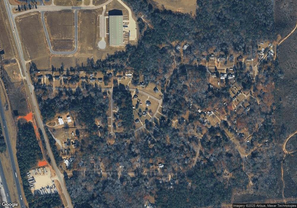
Map
Nearby Homes
- 176 Laurel Hill Dr
- 14 Commercial Pkwy
- 13 Commercial Pkwy
- 11 Commercial Pkwy
- 10 Commercial Pkwy
- 6 Commercial Pkwy
- 4 Commercial Pkwy
- 8 Commercial Pkwy
- 7 Commercial Pkwy
- 2 Commercial Pkwy
- 12 Commercial Pkwy
- 5 Commercial Pkwy
- 15 Commercial Pkwy
- 3 Commercial Pkwy
- 1920 Cedar Ridge Loop
- 2053 Cedar Ridge Loop
- 1528 White Cloud Dr
- 430 Forge Rd
- 2929 White Cloud Ln
- 1535 White Cloud Dr
- 118 Mountain Laurel Rd
- 172 Laurel Hill Dr
- 178 Laurel Hill Dr
- 163 Laurel Hill Dr
- 167 Laurel Hill Dr
- 170 Laurel Hill Dr
- 184 Laurel Hill Dr
- 186 Laurel Hill Dr
- 171 Laurel Hill Dr
- 182 Laurel Hill Dr
- 121 Mountain Laurel Rd
- 157 Laurel Hill Dr
- 180 Laurel Hill Dr
- 168 Laurel Hill Dr
- 119 Mountain Laurel Rd
- 165 Laurel Hill Dr
- 169 Laurel Hill Dr
- 159 Laurel Hill Dr
- 155 Laurel Hill Dr
- 114 Mountain Laurel Rd