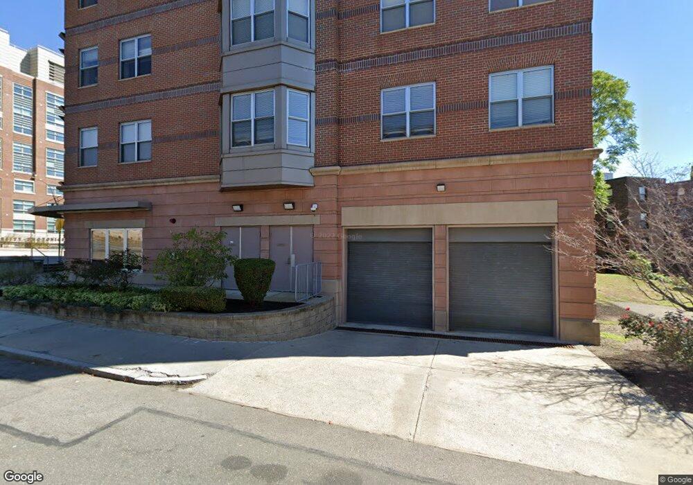
120 Mountfort St Unit 501 Boston, MA 02215
Fenway NeighborhoodEstimated Value: $939,000 - $1,106,000
2
Beds
2
Baths
947
Sq Ft
$1,081/Sq Ft
Est. Value
About This Home
This home is located at 120 Mountfort St Unit 501, Boston, MA 02215 and is currently estimated at $1,024,179, approximately $1,081 per square foot. 120 Mountfort St Unit 501 is a home located in Suffolk County with nearby schools including Match Charter Public School, New England Hebrew Academy, and Winsor School.
Ownership History
Date
Name
Owned For
Owner Type
Purchase Details
Closed on
Jun 19, 2012
Sold by
Lim Veronica and Lim Rodolfo
Bought by
Eronica Rodolfo and Eronica Lim R
Current Estimated Value
Purchase Details
Closed on
May 25, 2007
Sold by
120 Mountfort St Llc
Bought by
Lim Rodolfo and Lim Veronica
Home Financials for this Owner
Home Financials are based on the most recent Mortgage that was taken out on this home.
Original Mortgage
$400,000
Interest Rate
6.27%
Mortgage Type
Purchase Money Mortgage
Create a Home Valuation Report for This Property
The Home Valuation Report is an in-depth analysis detailing your home's value as well as a comparison with similar homes in the area
Home Values in the Area
Average Home Value in this Area
Purchase History
| Date | Buyer | Sale Price | Title Company |
|---|---|---|---|
| Eronica Rodolfo | -- | -- | |
| Lim Rodolfo | $547,000 | -- |
Source: Public Records
Mortgage History
| Date | Status | Borrower | Loan Amount |
|---|---|---|---|
| Previous Owner | Lim Rodolfo | $400,000 |
Source: Public Records
Tax History Compared to Growth
Tax History
| Year | Tax Paid | Tax Assessment Tax Assessment Total Assessment is a certain percentage of the fair market value that is determined by local assessors to be the total taxable value of land and additions on the property. | Land | Improvement |
|---|---|---|---|---|
| 2025 | $11,351 | $980,200 | $0 | $980,200 |
| 2024 | $10,534 | $966,400 | $0 | $966,400 |
| 2023 | $10,070 | $937,600 | $0 | $937,600 |
| 2022 | $10,004 | $919,500 | $0 | $919,500 |
| 2021 | $9,619 | $901,500 | $0 | $901,500 |
| 2020 | $8,887 | $841,600 | $0 | $841,600 |
| 2019 | $8,293 | $786,800 | $0 | $786,800 |
| 2018 | $7,637 | $728,700 | $0 | $728,700 |
| 2017 | $7,346 | $693,700 | $0 | $693,700 |
| 2016 | $7,267 | $660,600 | $0 | $660,600 |
| 2015 | $8,513 | $703,000 | $0 | $703,000 |
| 2014 | $7,358 | $584,900 | $0 | $584,900 |
Source: Public Records
Map
Nearby Homes
- 462 Park Dr
- 15 Keswick St Unit B1
- 132 St Mary's St
- 16 Miner St Unit 501
- 180 Ivy St
- 178 Ivy St
- 566 Commonwealth Ave Unit L101
- 566 Commonwealth Ave Unit 804
- 566 Commonwealth Ave Unit 710
- 566 Commonwealth Ave Unit 1110
- 188 Brookline Ave Unit 20J
- 188 Brookline Ave Unit 29D
- 188 Brookline Ave Unit 27A/C
- 188 Brookline Ave Unit PH29A
- 188 Brookline Ave Unit 21B
- 188 Brookline Ave Unit 22E
- 188 Brookline Ave Unit 20H
- 116 Riverway Unit 14
- 19 Thatcher St Unit E13
- 18 Browne St Unit 2
- 120 Mountfort St Unit 603
- 120 Mountfort St Unit 602
- 120 Mountfort St Unit 601
- 120 Mountfort St Unit 507
- 120 Mountfort St Unit 506
- 120 Mountfort St Unit 505
- 120 Mountfort St Unit 504
- 120 Mountfort St Unit 502
- 120 Mountfort St Unit 407
- 120 Mountfort St Unit 406
- 120 Mountfort St Unit 405
- 120 Mountfort St Unit 404
- 120 Mountfort St Unit 403
- 120 Mountfort St Unit 402
- 120 Mountfort St Unit 401
- 120 Mountfort St Unit 307
- 120 Mountfort St Unit 306
- 120 Mountfort St Unit 305
- 120 Mountfort St Unit 304
- 120 Mountfort St Unit 303