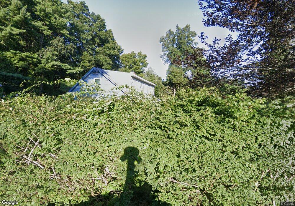
120 Moxley Rd Uncasville, CT 06382
Estimated Value: $313,000 - $346,000
3
Beds
3
Baths
1,387
Sq Ft
$237/Sq Ft
Est. Value
About This Home
This home is located at 120 Moxley Rd, Uncasville, CT 06382 and is currently estimated at $328,642, approximately $236 per square foot. 120 Moxley Rd is a home located in New London County with nearby schools including Leonard J. Tyl Middle School, Montville High School, and Bradley School-New London Regional.
Ownership History
Date
Name
Owned For
Owner Type
Purchase Details
Closed on
Oct 28, 1994
Sold by
Metz Lois H
Bought by
Ainslie Steven K
Current Estimated Value
Home Financials for this Owner
Home Financials are based on the most recent Mortgage that was taken out on this home.
Original Mortgage
$84,536
Interest Rate
8.65%
Mortgage Type
Unknown
Create a Home Valuation Report for This Property
The Home Valuation Report is an in-depth analysis detailing your home's value as well as a comparison with similar homes in the area
Home Values in the Area
Average Home Value in this Area
Purchase History
| Date | Buyer | Sale Price | Title Company |
|---|---|---|---|
| Ainslie Steven K | $84,500 | -- | |
| Ainslie Steven K | $84,500 | -- |
Source: Public Records
Mortgage History
| Date | Status | Borrower | Loan Amount |
|---|---|---|---|
| Open | Ainslie Steven K | $39,999 | |
| Open | Ainslie Steven K | $176,000 | |
| Closed | Ainslie Steven K | $84,536 |
Source: Public Records
Tax History Compared to Growth
Tax History
| Year | Tax Paid | Tax Assessment Tax Assessment Total Assessment is a certain percentage of the fair market value that is determined by local assessors to be the total taxable value of land and additions on the property. | Land | Improvement |
|---|---|---|---|---|
| 2025 | $3,522 | $122,010 | $33,250 | $88,760 |
| 2024 | $3,388 | $122,010 | $33,250 | $88,760 |
| 2023 | $3,388 | $122,010 | $33,250 | $88,760 |
| 2022 | $3,259 | $122,010 | $33,250 | $88,760 |
| 2021 | $0 | $99,450 | $33,020 | $66,430 |
| 2020 | $3,220 | $99,450 | $33,020 | $66,430 |
| 2019 | $0 | $99,450 | $33,020 | $66,430 |
| 2018 | $0 | $99,450 | $33,020 | $66,430 |
| 2017 | $3,153 | $99,450 | $33,020 | $66,430 |
| 2016 | $3,511 | $114,710 | $43,290 | $71,420 |
| 2015 | $3,511 | $114,710 | $43,290 | $71,420 |
| 2014 | $3,369 | $114,710 | $43,290 | $71,420 |
Source: Public Records
Map
Nearby Homes
- 22 Heather Brook Rd
- 19 Wyndwood Rd
- 10 Marcia Dr
- 5 Mountain Laurel Ridge
- 1 High Ridge Cir
- 60 Hammel Ln
- 57 Roselund Hill Rd
- 197 Norwich-New London Turnpike
- 245 Norwich New London Turnpike Unit 22
- 230 Gay Hill Rd
- 270 Gay Hill Rd
- 0 Monahan Dr
- 36 Depot Rd
- 13 Dock Rd
- 505 Old Colchester Rd
- 320 Maple Ave
- 205 Old Norwich Rd
- 184 Kitemaug Rd
- 45 Lynch Hill Rd
- 9 West Dr