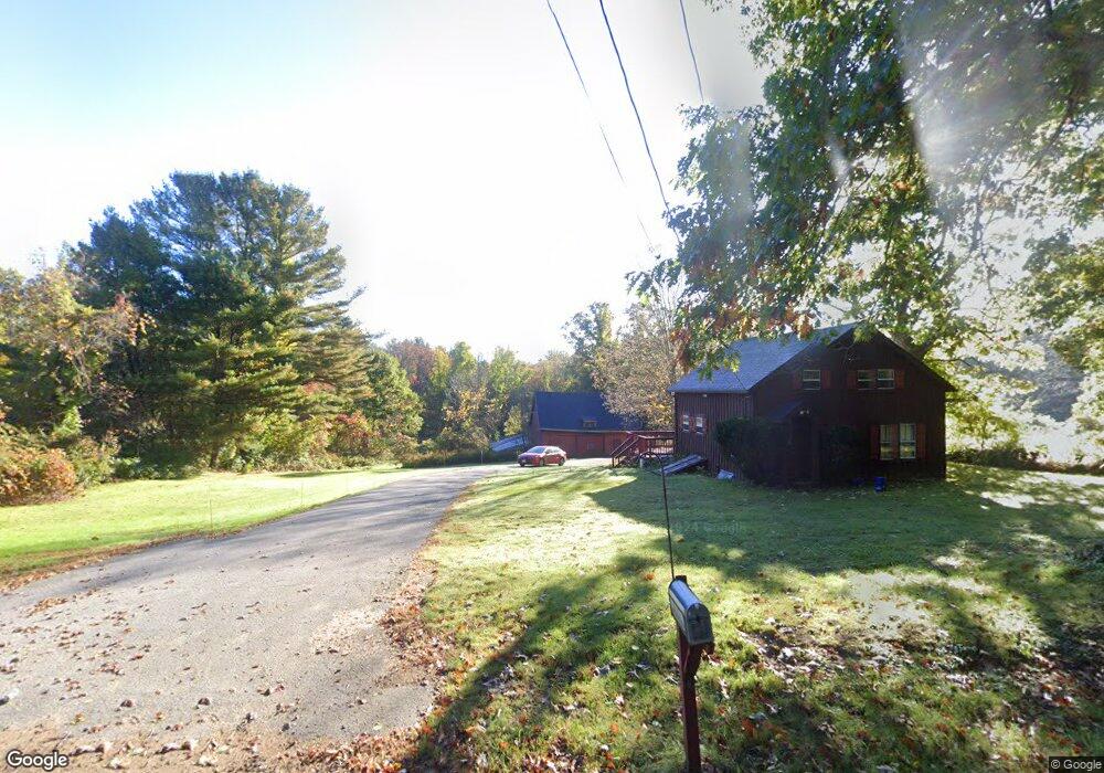
120 N Brookfield Rd New Braintree, MA 01531
Estimated Value: $346,000 - $439,000
3
Beds
1
Bath
1,140
Sq Ft
$340/Sq Ft
Est. Value
About This Home
This home is located at 120 N Brookfield Rd, New Braintree, MA 01531 and is currently estimated at $387,901, approximately $340 per square foot. 120 N Brookfield Rd is a home located in Worcester County with nearby schools including Quabbin Regional Middle School and Quabbin Regional High School.
Ownership History
Date
Name
Owned For
Owner Type
Purchase Details
Closed on
Dec 21, 2009
Sold by
Friberg Donald R and Friberg Marilyn
Bought by
Friberg Donald W
Current Estimated Value
Create a Home Valuation Report for This Property
The Home Valuation Report is an in-depth analysis detailing your home's value as well as a comparison with similar homes in the area
Home Values in the Area
Average Home Value in this Area
Purchase History
| Date | Buyer | Sale Price | Title Company |
|---|---|---|---|
| Friberg Donald W | -- | -- | |
| Friberg Donald W | -- | -- | |
| Friberg Donald W | -- | -- |
Source: Public Records
Mortgage History
| Date | Status | Borrower | Loan Amount |
|---|---|---|---|
| Open | Friberg Donald W | $60,000 |
Source: Public Records
Tax History Compared to Growth
Tax History
| Year | Tax Paid | Tax Assessment Tax Assessment Total Assessment is a certain percentage of the fair market value that is determined by local assessors to be the total taxable value of land and additions on the property. | Land | Improvement |
|---|---|---|---|---|
| 2025 | $39 | $261,500 | $109,000 | $152,500 |
| 2024 | $3,802 | $261,500 | $109,000 | $152,500 |
| 2023 | $3,639 | $247,900 | $109,000 | $138,900 |
| 2022 | $3,253 | $200,200 | $86,700 | $113,500 |
| 2021 | $3,328 | $190,500 | $81,800 | $108,700 |
| 2020 | $3,187 | $184,000 | $81,700 | $102,300 |
| 2019 | $3,128 | $184,000 | $81,700 | $102,300 |
| 2018 | $3,212 | $182,900 | $86,800 | $96,100 |
| 2017 | $3,197 | $177,000 | $90,000 | $87,000 |
| 2016 | $28,162 | $1,618,500 | $90,000 | $1,528,500 |
| 2015 | $3,089 | $190,200 | $96,500 | $93,700 |
| 2014 | $3,113 | $190,500 | $96,800 | $93,700 |
Source: Public Records
Map
Nearby Homes
- 76 N Brookfield Rd
- 241 N Brookfield Rd
- 1632 N Brookfield Rd
- 379 Adams Rd
- 21 Spencer Rd
- 111 Northwest Rd
- 49 Oak Ln
- 0 Brooks Pond Rd (Large Parcel)
- 0 Brooks Pond Rd (Entire Parcel)
- 0 Brooks Pond Rd (Small Parcel)
- 10 Rufus Putnam Rd
- 0 Browning Pond Rd
- 43 New Braintree Rd
- 38-3 Edson
- 157 School St
- 48 Mill Rd Lot 2e
- 18 B N Spencer Rd
- 82 Grove St
- 196 N Spencer Rd
- 75 Downey Rd
- 125 N Brookfield Rd
- 235 N Brookfield Rd
- 235 N Brookfield Rd
- 78 N Brookfield Rd
- 220 N Brookfield Rd
- 155 N Brookfield Rd
- 230 N Brookfield Rd
- 50 N Brookfield Rd
- Lot A N Brookfield Rd
- 30 N Brookfield Rd
- Lot30 N Brookfield Rd
- 12 N Brookfield Rd
- 0 Rte 148 Unit 71006106
- 0 Rte 148 Unit 71091217
- Lot c N Brookfield Rd
- 199 Oakham Rd
- 185 Robinson Rd
- 281 Robinson Rd
- 4 N Brookfield Rd
- 3 N Brookfield Rd