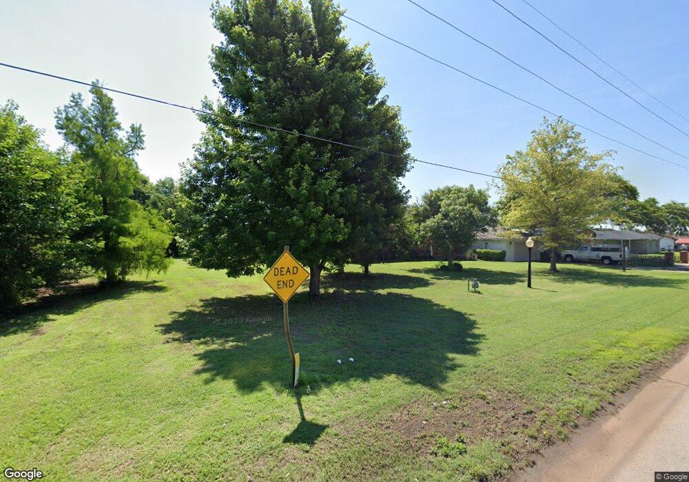
120 N Laing Ave Watonga, OK 73772
Estimated Value: $82,000 - $163,000
3
Beds
2
Baths
1,906
Sq Ft
$68/Sq Ft
Est. Value
About This Home
This home is located at 120 N Laing Ave, Watonga, OK 73772 and is currently estimated at $129,622, approximately $68 per square foot. 120 N Laing Ave is a home located in Blaine County with nearby schools including Watonga Elementary School, Watonga Middle School, and Watonga High School.
Ownership History
Date
Name
Owned For
Owner Type
Purchase Details
Closed on
Oct 3, 2023
Sold by
Westphal Mark E
Bought by
Mark E Westphal Revocable Living Trust and Westphal
Current Estimated Value
Purchase Details
Closed on
Jun 18, 2001
Sold by
Daugherty Veva Trustee
Bought by
Westphal Mark and Westphal Diana
Purchase Details
Closed on
Mar 1, 2000
Sold by
Nault Walter and Nault Shelly
Bought by
Stewart Shawn and Stewart Ashley
Purchase Details
Closed on
Apr 6, 1998
Sold by
Denny Terry and Denny Janice
Bought by
Hampton Richard and Hampton Resi
Create a Home Valuation Report for This Property
The Home Valuation Report is an in-depth analysis detailing your home's value as well as a comparison with similar homes in the area
Home Values in the Area
Average Home Value in this Area
Purchase History
| Date | Buyer | Sale Price | Title Company |
|---|---|---|---|
| Mark E Westphal Revocable Living Trust | -- | None Listed On Document | |
| Westphal Mark | $15,000 | -- | |
| Stewart Shawn | $15,000 | -- | |
| Nault Walter | $15,000 | -- | |
| Hampton Richard | $55,000 | -- |
Source: Public Records
Tax History Compared to Growth
Tax History
| Year | Tax Paid | Tax Assessment Tax Assessment Total Assessment is a certain percentage of the fair market value that is determined by local assessors to be the total taxable value of land and additions on the property. | Land | Improvement |
|---|---|---|---|---|
| 2024 | $529 | $5,447 | $404 | $5,043 |
| 2023 | $465 | $4,781 | $404 | $4,377 |
| 2022 | $495 | $4,553 | $404 | $4,149 |
| 2021 | $426 | $4,336 | $404 | $3,932 |
| 2020 | $402 | $4,129 | $404 | $3,725 |
| 2019 | $391 | $3,933 | $404 | $3,529 |
| 2018 | $388 | $3,746 | $404 | $3,342 |
| 2017 | $380 | $3,568 | $404 | $3,164 |
| 2016 | $385 | $3,398 | $404 | $2,994 |
| 2015 | $326 | $3,236 | $404 | $2,832 |
| 2014 | $248 | $3,082 | $404 | $2,678 |
Source: Public Records
Map
Nearby Homes
- 821 E A St
- 602 E 2nd St
- 601 E Main St
- 602 N Montgomery Ave
- 411 N Forrest Ave
- 416 N Burford Ave
- 121 E Main St
- 117 S Noble Ave
- 515 N Burford Ave
- 505 S Weigle Ave
- 710 N Forrest Ave
- 115 N Noble Ave
- 100 W 3rd St
- 101 E 5th St Unit 103 E 5th St
- 503 S Prouty Ave
- 114 N Leach Ave Unit 116 118 & 120 N Leac
- 220 Russworm Dr
- 900 N Burford Ave
- 400 S Leach Ave Unit 400 S Prouty
- 401 N Leach Ave
- 119 S Laing Ave
- 301 S Laing Ave
- 920 E Main St
- 121 S Laing Ave
- 915 E Main St
- 110 N Laing Ave
- 903 E A St
- 1312 E 4th St
- 820 E Main St
- 202 N Laing Ave
- 821 E Main St
- 805 E A St
- 216 N Laing Ave
- 204 N Moreland Ave
- 15552 State Highway 51a
- 15179 State Highway 51a
- 82674 N 2610 Rd
- 83709 N 2610 Rd
- 814 E 1st St
- 801 E A St
