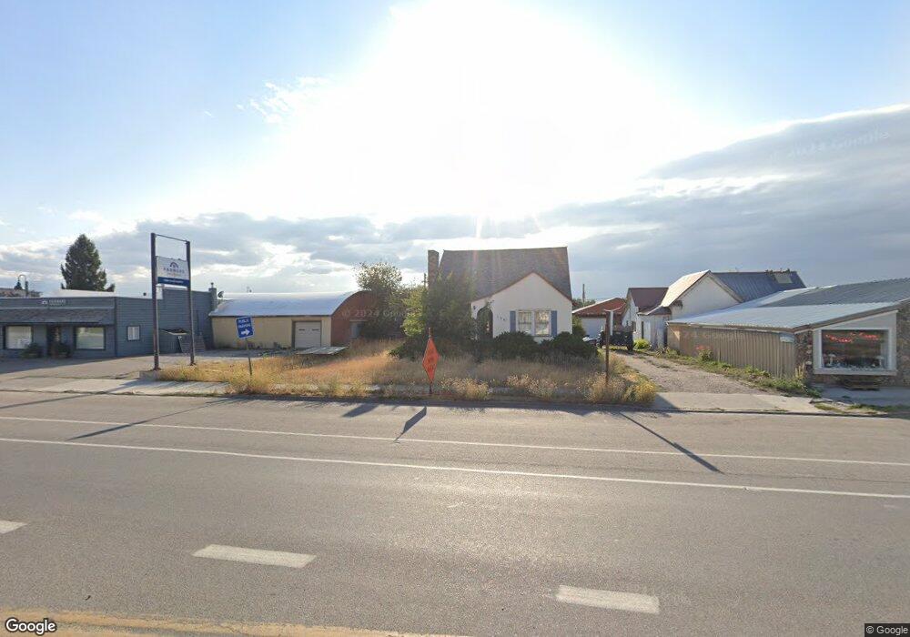
120 N Main St Driggs, ID 83422
--
Bed
--
Bath
--
Sq Ft
1.98
Acres
About This Home
This home is located at 120 N Main St, Driggs, ID 83422. 120 N Main St is a home located in Teton County with nearby schools including Driggs Elementary School, Teton High School, and The Learning Academy of Teton Valley.
Ownership History
Date
Name
Owned For
Owner Type
Purchase Details
Closed on
Jul 2, 2024
Sold by
Robert W Broulim Llc
Bought by
Broulim Property Management Co Limited Partne
Purchase Details
Closed on
Mar 18, 2011
Sold by
Sessions Dennis L and Sessions Lynn G
Bought by
Broulim Oswald Llc
Home Financials for this Owner
Home Financials are based on the most recent Mortgage that was taken out on this home.
Original Mortgage
$574,677
Interest Rate
5.02%
Mortgage Type
Seller Take Back
Create a Home Valuation Report for This Property
The Home Valuation Report is an in-depth analysis detailing your home's value as well as a comparison with similar homes in the area
Home Values in the Area
Average Home Value in this Area
Purchase History
| Date | Buyer | Sale Price | Title Company |
|---|---|---|---|
| Broulim Property Management Co Limited Partne | -- | None Listed On Document | |
| Robert W Broulim Llc | -- | None Listed On Document | |
| Robert W Broulim Llc | -- | None Listed On Document | |
| Broulim Oswald Llc | -- | -- |
Source: Public Records
Mortgage History
| Date | Status | Borrower | Loan Amount |
|---|---|---|---|
| Previous Owner | Broulim Oswald Llc | $574,677 |
Source: Public Records
Tax History Compared to Growth
Tax History
| Year | Tax Paid | Tax Assessment Tax Assessment Total Assessment is a certain percentage of the fair market value that is determined by local assessors to be the total taxable value of land and additions on the property. | Land | Improvement |
|---|---|---|---|---|
| 2025 | $9,895 | $2,424,000 | $636,000 | $1,788,000 |
| 2024 | $9,279 | $2,111,300 | $635,500 | $1,475,800 |
| 2023 | $9,179 | $2,111,300 | $635,500 | $1,475,800 |
| 2022 | $10,695 | $2,111,300 | $635,500 | $1,475,800 |
| 2021 | $17,275 | $2,111,300 | $635,500 | $1,475,800 |
| 2020 | $21,056 | $2,111,300 | $635,500 | $1,475,800 |
| 2019 | $20,867 | $2,111,300 | $635,500 | $1,475,800 |
| 2018 | $21,457 | $2,008,220 | $635,500 | $1,372,720 |
| 2017 | $19,905 | $2,008,220 | $635,500 | $1,372,720 |
| 2016 | $21,947 | $2,069,120 | $696,400 | $1,372,720 |
| 2015 | $25,100 | $2,069,120 | $696,400 | $1,372,720 |
| 2011 | -- | $2,161,300 | $783,450 | $1,377,850 |
Source: Public Records
Map
Nearby Homes
- 290 N 1st E
- 3139 Slinger Ct
- 402 W Front St Unit 1
- 525 N 1st St Unit C204
- 377 Woodland Star Dr
- 380 Cottongrass Rd
- 525 N First St Unit F102
- 525 N First St Unit F204
- 525 N First St Unit G103
- 525 N First St Unit B102
- 525 N First St Unit B101
- 525 N First St Unit B104
- 525 N First St Unit F101
- 525 N First St Unit F104
- 525 N First St Unit B202
- 525 N First St Unit F201
- 525 N First St Unit C101
- 525 N First St Unit C103
- 525 N First St Unit F103
- 525 N First St Unit G102
- 130 N Main St
- 135 N Main St
- 145 N Main St
- 25 E Wallace Ave
- 25 E Wallace Ave Unit 102
- 178 N Main St
- 63 Depot Rd
- 40 Depot Rd
- 180 N Main St
- 30 Depot St
- 53 Depot St
- 81 N Main St
- 89 N Main St
- 64 Ashley Ave
- 79 N Main St
- 10 Ashley Ave Unit 65
- 10 Ashley Ave Unit 49
- 76 N Main St
- 176 E Wallace Ave
- 60 Depot Rd