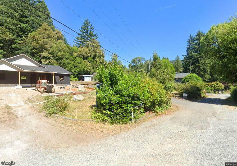
120 Neighbors Ln Crescent City, CA 95531
Estimated Value: $370,197 - $862,000
3
Beds
2
Baths
1,454
Sq Ft
$371/Sq Ft
Est. Value
About This Home
This home is located at 120 Neighbors Ln, Crescent City, CA 95531 and is currently estimated at $539,299, approximately $370 per square foot. 120 Neighbors Ln is a home located in Del Norte County with nearby schools including Smith River Elementary School, Crescent Elk Middle School, and Del Norte High School.
Ownership History
Date
Name
Owned For
Owner Type
Purchase Details
Closed on
Mar 13, 2025
Sold by
Lowenthal Richard and Lowenthal Ellen
Bought by
Lowenthal Richard and Lowenthal Ellen
Current Estimated Value
Purchase Details
Closed on
Feb 20, 2025
Sold by
Lowenthal Revocable Trust and Lowenthal Richard Wallace
Bought by
Lowenthal Revocable Trust and Lowenthal
Create a Home Valuation Report for This Property
The Home Valuation Report is an in-depth analysis detailing your home's value as well as a comparison with similar homes in the area
Purchase History
| Date | Buyer | Sale Price | Title Company |
|---|---|---|---|
| Lowenthal Richard | -- | First American Title | |
| Lowenthal Revocable Trust | -- | First American Title | |
| Lowenthal Revocable Trust | -- | First American Title |
Source: Public Records
Tax History
| Year | Tax Paid | Tax Assessment Tax Assessment Total Assessment is a certain percentage of the fair market value that is determined by local assessors to be the total taxable value of land and additions on the property. | Land | Improvement |
|---|---|---|---|---|
| 2025 | $2,818 | $261,270 | $130,635 | $130,635 |
| 2024 | $2,705 | $256,148 | $128,074 | $128,074 |
| 2023 | $2,648 | $251,126 | $125,563 | $125,563 |
| 2022 | $2,592 | $246,202 | $123,101 | $123,101 |
| 2021 | $2,576 | $241,376 | $120,688 | $120,688 |
| 2020 | $2,559 | $238,902 | $119,451 | $119,451 |
| 2019 | $2,517 | $234,218 | $117,109 | $117,109 |
| 2018 | $2,465 | $229,626 | $114,813 | $114,813 |
| 2017 | $2,425 | $225,124 | $112,562 | $112,562 |
| 2016 | $2,383 | $220,710 | $110,355 | $110,355 |
| 2015 | $2,328 | $217,396 | $108,698 | $108,698 |
| 2014 | $2,307 | $213,138 | $106,569 | $106,569 |
Source: Public Records
Map
Nearby Homes
- 370 Douglas Park Rd
- 2510 Us Highway 199 Unit Space 28
- 175 Storm Way
- 185 Storm Way
- 1720 Ashford Rd
- 003 Sage
- 000 Ashford Rd
- 2510 US Hwy 199 #27
- 00 Allens Gulch
- 105 Tiffany
- 173 National
- 1755 Parkway
- 240 Club Dr
- 000 Speer Dr
- 440 Bell Hole Loop Unit Lot 32
- 3420 # 50 Kings Valley
- 3420 Kings Valley Rd Unit Space 48
- 3420 Kings Valley Rd Unit 21
- 3420 Kings Valley Rd
- 321 Bell Hole
- 160 Neighbors Ln
- 400 Douglas Park Rd
- 175 Neighbors Ln
- 394 Douglas Park Rd
- 382 Douglas Park Rd
- 386 Douglas Park Rd
- 401 Douglas Park Rd
- 378 Douglas Park Rd
- 385 Douglas Park Rd
- 600 Douglas Park Rd
- 374 Douglas Park Rd
- 280 Hazeltime Rd
- 373 Douglas Park Rd
- 366 Douglas Park Rd
- 270 Hazeltime Rd
- 260 Hazeltime Rd Unit Hwy 199
- 260 Hazeltime Rd
- 361 Douglas Park Rd
- 174 Acacia Dr
- 105 Hazeltime Rd
Your Personal Tour Guide
Ask me questions while you tour the home.