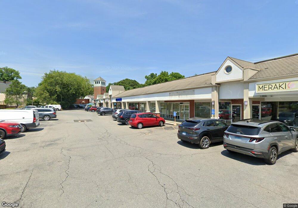
120 New Canaan Ave Norwalk, CT 06850
Broad River NeighborhoodEstimated Value: $124,271,120
--
Bed
--
Bath
24,377
Sq Ft
$5,098/Sq Ft
Est. Value
About This Home
This home is located at 120 New Canaan Ave, Norwalk, CT 06850 and is currently estimated at $124,271,120, approximately $5,097 per square foot. 120 New Canaan Ave is a home located in Fairfield County with nearby schools including Silvermine Elementary School, West Rocks Middle School, and Norwalk High School.
Ownership History
Date
Name
Owned For
Owner Type
Purchase Details
Closed on
Oct 28, 2013
Sold by
Tower Plaza Center Llc
Bought by
Ghp Tower Plaza Llc
Current Estimated Value
Home Financials for this Owner
Home Financials are based on the most recent Mortgage that was taken out on this home.
Original Mortgage
$5,125,000
Interest Rate
4.56%
Mortgage Type
Commercial
Create a Home Valuation Report for This Property
The Home Valuation Report is an in-depth analysis detailing your home's value as well as a comparison with similar homes in the area
Home Values in the Area
Average Home Value in this Area
Purchase History
| Date | Buyer | Sale Price | Title Company |
|---|---|---|---|
| Ghp Tower Plaza Llc | $66,000,000 | -- | |
| Ghp Tower Plaza Llc | $66,000,000 | -- |
Source: Public Records
Mortgage History
| Date | Status | Borrower | Loan Amount |
|---|---|---|---|
| Closed | Ghp Tower Plaza Llc | $5,125,000 |
Source: Public Records
Tax History Compared to Growth
Tax History
| Year | Tax Paid | Tax Assessment Tax Assessment Total Assessment is a certain percentage of the fair market value that is determined by local assessors to be the total taxable value of land and additions on the property. | Land | Improvement |
|---|---|---|---|---|
| 2025 | $146,867 | $6,133,270 | $2,062,960 | $4,070,310 |
| 2024 | $144,690 | $6,133,270 | $2,062,960 | $4,070,310 |
| 2023 | $150,589 | $5,985,000 | $1,882,450 | $4,102,550 |
| 2022 | $147,782 | $5,985,000 | $1,882,450 | $4,102,550 |
| 2021 | $148,067 | $6,156,620 | $1,882,450 | $4,274,170 |
| 2020 | $147,987 | $6,156,620 | $1,882,450 | $4,274,170 |
| 2019 | $143,843 | $6,156,620 | $1,882,450 | $4,274,170 |
| 2018 | $91,750 | $3,441,220 | $1,433,910 | $2,007,310 |
| 2017 | $88,597 | $3,441,200 | $1,433,910 | $2,007,290 |
| 2016 | $87,648 | $3,437,180 | $1,433,910 | $2,003,270 |
| 2015 | $87,407 | $3,437,180 | $1,433,910 | $2,003,270 |
| 2014 | $86,273 | $3,437,180 | $1,433,910 | $2,003,270 |
Source: Public Records
Map
Nearby Homes
- 46 Silvermine Ave
- 34 Lakeview Dr
- 8 Lloyd Rd
- 5 Tower Dr
- 5 Maher Dr
- 10 Parallel St
- 7 Lycett Ct
- 31 June Ave
- 20 Pulaski St
- 3 Sniffen St Unit 3A
- 14 Sniffen St
- 36 Styles Ln
- 12 Camelot Dr Unit B1
- 25 Grand St Unit 204
- 15 Perry Ave Unit 10A
- 150 Fillow St
- 48 Fair St
- 3 Devon Ave
- 28 Aiken St
- 230 New Canaan Ave Unit 2
- 124 New Canaan Ave
- 12 Patchen St
- 11 Patchen St
- 14 Patchen St
- 21 Harris St
- 15 Patchen St
- 10 Bartlett Ave
- 17 Harris St
- 19 Harris St
- 15 Harris St
- 25 Harris St
- 12 Bartlett Ave
- 119 New Canaan Ave Unit 1STFL
- 117 New Canaan Ave Unit A
- 13 Harris St
- 27 Harris St
- 29 Harris St
- 14 Bartlett Ave
- 8 Bartlett Ave
- 3 Ells St