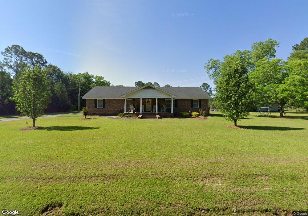
120 Newton Ave Moultrie, GA 31768
Estimated Value: $142,000 - $243,000
--
Bed
2
Baths
2,840
Sq Ft
$70/Sq Ft
Est. Value
About This Home
This home is located at 120 Newton Ave, Moultrie, GA 31768 and is currently estimated at $199,678, approximately $70 per square foot. 120 Newton Ave is a home located in Colquitt County with nearby schools including Cox Elementary School, Willie J. Williams Middle School, and C.A. Gray Junior High School.
Ownership History
Date
Name
Owned For
Owner Type
Purchase Details
Closed on
May 13, 2025
Sold by
Partin Martha S
Bought by
Devita Tomi and Sears Tomi
Current Estimated Value
Purchase Details
Closed on
Nov 7, 2006
Sold by
Sears Vivian H
Bought by
Weather Tomi S
Purchase Details
Closed on
Jan 10, 1989
Sold by
Sears Vivian H
Bought by
Sears Vivian H Life Estate
Purchase Details
Closed on
Feb 27, 1987
Bought by
Sears Vivian H
Create a Home Valuation Report for This Property
The Home Valuation Report is an in-depth analysis detailing your home's value as well as a comparison with similar homes in the area
Home Values in the Area
Average Home Value in this Area
Purchase History
| Date | Buyer | Sale Price | Title Company |
|---|---|---|---|
| Devita Tomi | -- | -- | |
| Weather Tomi S | -- | -- | |
| Sears Vivian H Life Estate | -- | -- | |
| Partin Martha S | -- | -- | |
| Sears Vivian H | -- | -- |
Source: Public Records
Tax History Compared to Growth
Tax History
| Year | Tax Paid | Tax Assessment Tax Assessment Total Assessment is a certain percentage of the fair market value that is determined by local assessors to be the total taxable value of land and additions on the property. | Land | Improvement |
|---|---|---|---|---|
| 2024 | $1,525 | $77,275 | $3,542 | $73,733 |
| 2023 | $1,587 | $67,006 | $3,542 | $63,464 |
| 2022 | $1,258 | $54,852 | $3,542 | $51,310 |
| 2021 | $1,132 | $48,613 | $3,542 | $45,071 |
| 2020 | $1,152 | $48,613 | $3,542 | $45,071 |
| 2019 | $1,322 | $50,083 | $3,542 | $46,541 |
| 2018 | $1,281 | $50,083 | $3,542 | $46,541 |
| 2017 | $1,363 | $50,083 | $3,542 | $46,541 |
| 2016 | $1,381 | $50,083 | $3,542 | $46,541 |
| 2015 | $1,385 | $49,741 | $3,200 | $46,541 |
| 2014 | $1,359 | $49,741 | $3,200 | $46,541 |
| 2013 | -- | $44,406 | $1,722 | $42,683 |
Source: Public Records
Map
Nearby Homes
- 1701 10th St SE
- 1312 Overlook Dr
- 1732 4th St SE
- 1021 11th Ave SE
- 1117 11th Ave SE
- M041 5th St SE
- 210 13th Ave SE
- 304 Tallokas Rd
- 29 17th Ave SE
- 1904 5th St SE
- 1777 S Main St
- 1310 S Main St
- 1935 4th St SE
- 902 2nd St SE
- 1546 Ivy Ln
- 717 5th Ave SE
- 1175 4th St SW
- 521 5th Ave SE Unit 4
- 515 5th Ave SE Unit 4
- 1712 Villa Dr SW
- 1321 10th St SE
- 140 Newton Ave
- 1220 Porter St
- 1415 10th St SE
- 1214 Porter St
- 1318 10th St SE
- 1217 Porter St
- 161 Newton Ave
- 1417 12th St SE
- 1304 10th St SE
- 1220 10th St SE
- 1419 12th St SE
- 1214 11th Ave SE
- 1311 7th St SE Unit A
- 1397 7th St SE
- 189 Newton Ave
- 1106 South Blvd
- 1399 7th St SE
- 1109 Overlook Dr
- 1401 7th St SE