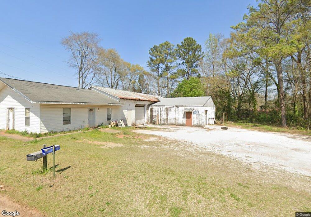
120 Oak Ln Lagrange, GA 30241
Estimated Value: $308,205
--
Bed
1
Bath
4,380
Sq Ft
$70/Sq Ft
Est. Value
About This Home
This home is located at 120 Oak Ln, Lagrange, GA 30241 and is currently priced at $308,205, approximately $70 per square foot. 120 Oak Ln is a home located in Troup County with nearby schools including Franklin Forest Elementary School, Hollis Hand Elementary School, and Ethel W. Kight Elementary School.
Ownership History
Date
Name
Owned For
Owner Type
Purchase Details
Closed on
Apr 3, 2024
Sold by
Sivell Clara
Bought by
Mountville Properties Llc and Red Clay Property Of Lagrange Llc
Current Estimated Value
Purchase Details
Closed on
Aug 28, 1998
Sold by
Otis M Strickland
Bought by
Sivell Randy and Sivell Clara
Purchase Details
Closed on
May 7, 1993
Bought by
Otis M Strickland
Purchase Details
Closed on
Jan 1, 1971
Sold by
Charles G Gibson
Purchase Details
Closed on
Jan 1, 1948
Bought by
Charles G Gibson
Create a Home Valuation Report for This Property
The Home Valuation Report is an in-depth analysis detailing your home's value as well as a comparison with similar homes in the area
Home Values in the Area
Average Home Value in this Area
Purchase History
| Date | Buyer | Sale Price | Title Company |
|---|---|---|---|
| Mountville Properties Llc | $300,000 | -- | |
| Sivell Randy | -- | -- | |
| Otis M Strickland | -- | -- | |
| -- | $2,000 | -- | |
| Charles G Gibson | -- | -- |
Source: Public Records
Tax History Compared to Growth
Tax History
| Year | Tax Paid | Tax Assessment Tax Assessment Total Assessment is a certain percentage of the fair market value that is determined by local assessors to be the total taxable value of land and additions on the property. | Land | Improvement |
|---|---|---|---|---|
| 2025 | $2,657 | $119,320 | $13,080 | $106,240 |
| 2024 | $2,657 | $97,440 | $13,080 | $84,360 |
| 2023 | $1,083 | $39,720 | $13,080 | $26,640 |
| 2022 | $1,109 | $39,720 | $13,080 | $26,640 |
| 2021 | $1,027 | $34,040 | $2,160 | $31,880 |
| 2020 | $1,027 | $34,040 | $2,160 | $31,880 |
| 2019 | $827 | $27,406 | $2,160 | $25,246 |
| 2018 | $827 | $27,406 | $2,180 | $25,226 |
| 2017 | $827 | $27,406 | $2,180 | $25,226 |
| 2016 | $854 | $28,328 | $2,180 | $26,148 |
| 2015 | $856 | $28,328 | $2,180 | $26,148 |
| 2014 | $857 | $28,328 | $2,180 | $26,148 |
| 2013 | -- | $28,328 | $2,180 | $26,148 |
Source: Public Records
Map
Nearby Homes
- 706 N Harlem Cir
- 600 S Harlem Cir
- 606 S Harlem Cir
- 608 S Harlem Cir
- 131 Foch St
- 600,606,608,616 S Harlem
- 616 S Harlem Cir
- 618 S Harlem Cir
- 109 Dogwood Dr
- 301 E Bacon St
- 202 Park Hill Dr
- 121 de Groat St
- 0 Ridley Ave Unit 10550104
- 609 Ridley Ave
- 707 Ridley Ave
- 611 Ridley Ave
- 615 Ridley Ave
- 709 Ridley Ave
- 621 Arthur St
- 219 Banks St
- 517 Horace King St
- 515 Horace King St
- 118 Oak Ln
- 513 Horace King St
- 511 Horace King St
- 114 Oak Ln
- 206 Commerce Ave
- 509 Horace King St
- 704 N Harlem Cir
- 141 lot 14 Diana Ct
- 508 Horace King St
- 507 Horace King St
- 138 Commerce Ave
- 505 Horace King St
- 108 Oak Ln
- 701 N Harlem Cir
- 708 N Harlem Cir
- 504 Horace King St
- 135 Buena Vista Ave
- 503 Horace King St