120 Oakridge Ct Branson, MO 65616
Estimated Value: $343,000 - $425,000
5
Beds
3
Baths
2,575
Sq Ft
$152/Sq Ft
Est. Value
About This Home
This home is located at 120 Oakridge Ct, Branson, MO 65616 and is currently estimated at $391,591, approximately $152 per square foot. 120 Oakridge Ct is a home located in Taney County with nearby schools including Cedar Ridge Primary, Cedar Ridge Intermediate School, and Cedar Ridge Elementary School.
Ownership History
Date
Name
Owned For
Owner Type
Purchase Details
Closed on
Feb 22, 2011
Sold by
Bank Of America Na
Bought by
Edenburn Perry A and Edenburn Teresa G
Current Estimated Value
Home Financials for this Owner
Home Financials are based on the most recent Mortgage that was taken out on this home.
Original Mortgage
$126,400
Outstanding Balance
$83,223
Interest Rate
4%
Mortgage Type
Adjustable Rate Mortgage/ARM
Estimated Equity
$308,368
Purchase Details
Closed on
Nov 9, 2010
Sold by
Gederal Home Loan Mortgage Corporation
Bought by
Bank Of America N A
Purchase Details
Closed on
Aug 2, 2010
Sold by
Barger Essie Jean
Bought by
Federal Home Loan Mortgage Corporation
Purchase Details
Closed on
Dec 22, 2006
Sold by
Barger Essie Jean
Bought by
Barager Essie Jean
Create a Home Valuation Report for This Property
The Home Valuation Report is an in-depth analysis detailing your home's value as well as a comparison with similar homes in the area
Purchase History
| Date | Buyer | Sale Price | Title Company |
|---|---|---|---|
| Edenburn Perry A | -- | None Available | |
| Bank Of America N A | -- | None Available | |
| Federal Home Loan Mortgage Corporation | $169,000 | None Available | |
| Barager Essie Jean | -- | -- |
Source: Public Records
Mortgage History
| Date | Status | Borrower | Loan Amount |
|---|---|---|---|
| Open | Edenburn Perry A | $126,400 |
Source: Public Records
Tax History
| Year | Tax Paid | Tax Assessment Tax Assessment Total Assessment is a certain percentage of the fair market value that is determined by local assessors to be the total taxable value of land and additions on the property. | Land | Improvement |
|---|---|---|---|---|
| 2025 | $2,099 | $35,960 | -- | -- |
| 2023 | $2,099 | $40,430 | $0 | $0 |
| 2022 | $2,039 | $40,430 | $0 | $0 |
| 2021 | $2,028 | $40,430 | $0 | $0 |
| 2019 | $1,845 | $35,870 | $0 | $0 |
| 2018 | $1,849 | $35,870 | $0 | $0 |
| 2017 | $1,467 | $28,760 | $0 | $0 |
| 2016 | $1,465 | $28,760 | $0 | $0 |
| 2015 | -- | $28,760 | $0 | $0 |
| 2014 | -- | $27,720 | $0 | $0 |
Source: Public Records
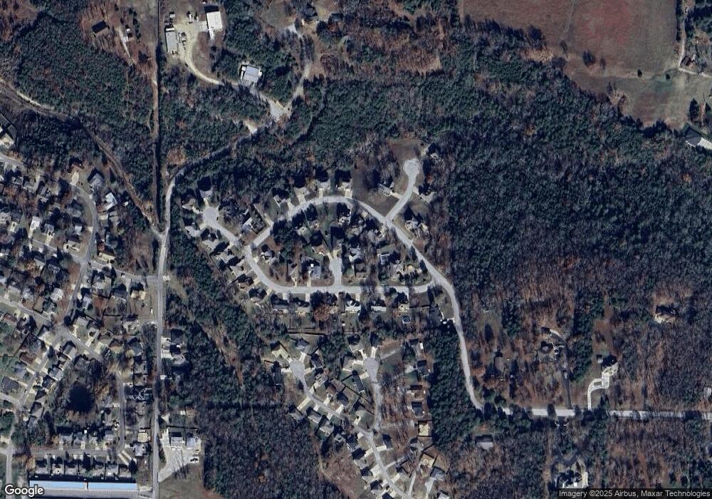
Map
Nearby Homes
- Lot 23 Cedar Wood
- 654 Walkington Ln
- 145 Christian Way
- 132 Maplewood Dr
- 2825 Sandpiper Dr
- 2819 Katella Ln
- 2826 Katella Ln
- 104 Primrose Ln
- 406 Spring Meadow Pkwy
- 123 Primrose Ln
- 440 Spring Meadow Pkwy
- 218 Windridge Rd
- Lot C-3 Cross Creek Blvd
- 126 Dragonfly Ln
- 135 Dragonfly Ln
- 141 Knowledge Ave Unit C
- 128 Knowledge Ave Unit 2
- 000 E State Highway 76
- 155 W Rockford Dr Unit 1
- 175 W Rockford Dr Unit 5
- 130 Oakridge Ave
- 130 Oakridge Ave Unit 2
- 111 Cedarwood Ave
- 121 Oakridge Ave
- 115 Oakridge Ave Unit 2
- 120 Oak Ridge Ct
- 127 Oakridge Ave
- 209 Oak Ridge Ct
- 113 Cedarwood Ave
- 125 Oakridge Ct
- 125 Oak Ridge Ct
- 170 Cody Ct
- 170 Cody Ct Unit Lot 22a
- 131 Oakridge Ave
- 131 Cedarwood Ave
- 105 Cedarwood Ave
- 171 Cody Ct
- 171 Cody Ct Unit Lot 21
- Tbd Cedarwood
- 0 Cedarwood
Your Personal Tour Guide
Ask me questions while you tour the home.