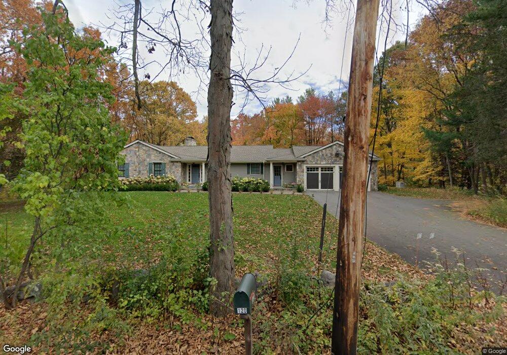
120 Old Lancaster Rd Sudbury, MA 01776
Estimated Value: $1,053,911 - $1,210,000
3
Beds
5
Baths
1,836
Sq Ft
$617/Sq Ft
Est. Value
About This Home
This home is located at 120 Old Lancaster Rd, Sudbury, MA 01776 and is currently estimated at $1,133,228, approximately $617 per square foot. 120 Old Lancaster Rd is a home located in Middlesex County with nearby schools including Israel Loring Elementary School, Ephraim Curtis Middle School, and Lincoln-Sudbury Regional High School.
Ownership History
Date
Name
Owned For
Owner Type
Purchase Details
Closed on
Jul 21, 2020
Sold by
Marsicano Dennis V
Bought by
Dennis V Marsicano Lt
Current Estimated Value
Purchase Details
Closed on
Apr 12, 1996
Sold by
Brack Donald W and Gilmore Barbara T
Bought by
Marsicano Dennis
Home Financials for this Owner
Home Financials are based on the most recent Mortgage that was taken out on this home.
Original Mortgage
$210,000
Interest Rate
7.39%
Mortgage Type
Purchase Money Mortgage
Purchase Details
Closed on
Jul 6, 1988
Sold by
Seale Helen L
Bought by
Brack Donald W
Create a Home Valuation Report for This Property
The Home Valuation Report is an in-depth analysis detailing your home's value as well as a comparison with similar homes in the area
Home Values in the Area
Average Home Value in this Area
Purchase History
| Date | Buyer | Sale Price | Title Company |
|---|---|---|---|
| Dennis V Marsicano Lt | -- | None Available | |
| Marsicano Dennis | $294,000 | -- | |
| Brack Donald W | $321,000 | -- |
Source: Public Records
Mortgage History
| Date | Status | Borrower | Loan Amount |
|---|---|---|---|
| Previous Owner | Brack Donald W | $200,000 | |
| Previous Owner | Brack Donald W | $210,000 | |
| Previous Owner | Brack Donald W | $120,250 | |
| Previous Owner | Brack Donald W | $20,000 |
Source: Public Records
Tax History Compared to Growth
Tax History
| Year | Tax Paid | Tax Assessment Tax Assessment Total Assessment is a certain percentage of the fair market value that is determined by local assessors to be the total taxable value of land and additions on the property. | Land | Improvement |
|---|---|---|---|---|
| 2025 | $15,347 | $1,048,300 | $464,200 | $584,100 |
| 2024 | $14,813 | $1,013,900 | $450,600 | $563,300 |
| 2023 | $14,997 | $951,000 | $417,400 | $533,600 |
| 2022 | $14,852 | $822,800 | $383,000 | $439,800 |
| 2021 | $14,435 | $766,600 | $383,000 | $383,600 |
| 2020 | $14,144 | $766,600 | $383,000 | $383,600 |
| 2019 | $14,846 | $828,900 | $383,000 | $445,900 |
| 2018 | $13,110 | $731,200 | $403,000 | $328,200 |
| 2017 | $12,191 | $687,200 | $398,200 | $289,000 |
| 2016 | $11,753 | $660,300 | $383,000 | $277,300 |
| 2015 | $10,600 | $602,300 | $368,200 | $234,100 |
| 2014 | $10,594 | $587,600 | $357,400 | $230,200 |
Source: Public Records
Map
Nearby Homes
- 36 Concord Rd
- 94 Goodmans Hill Rd
- 23 Massasoit Ave
- 270 Old Lancaster Rd
- 1011 Boston Post Rd
- 89 Bridle Path
- 6 Old County Rd Unit 16
- 216 Landham Rd
- 427 Concord Rd
- 24 Woodland Rd
- 24 Goodnow Rd
- 7 Adams Rd
- 128 Nobscot Rd
- 30 Rolling Ln
- 0 Robbins Rd
- 12 Hickory Rd
- 7 Saddle Ridge Rd
- 54 Stone Rd
- 36 Old Forge Ln
- 84 Hopestill Brown Rd
- 114 Old Lancaster Rd
- 128 Old Lancaster Rd
- 125 Old Lancaster Rd
- 133 Old Lancaster Rd
- 4 Plantation Cir
- 111 Old Lancaster Rd
- 108 Old Lancaster Rd
- 53 Clark Ln
- 139 Old Lancaster Rd
- 2 Plantation Cir Lot 2
- 100 Old Lancaster Rd
- 45 Clark Ln
- 56 Clark Ln
- 145 Old Lancaster Rd
- 146 Old Lancaster Rd
- 48 Plantation Cir
- 46 Clark Ln
- 149 Old Lancaster Rd
- 138 Concord Rd
- 12 Walkup Rd